Cooking Essentials&Outdoor Tools|Foldable Shovels,Windproof Stoves&Headlamps
Cooking Essentials&Outdoor Tools|Foldable Shovels,Windproof Stoves&Headlamps Cooking Essentials&Outdoor Tools|Foldable Shovels,Windproof Stoves&Headlamps
Home Navigation Gear Waterproof Hiking Map
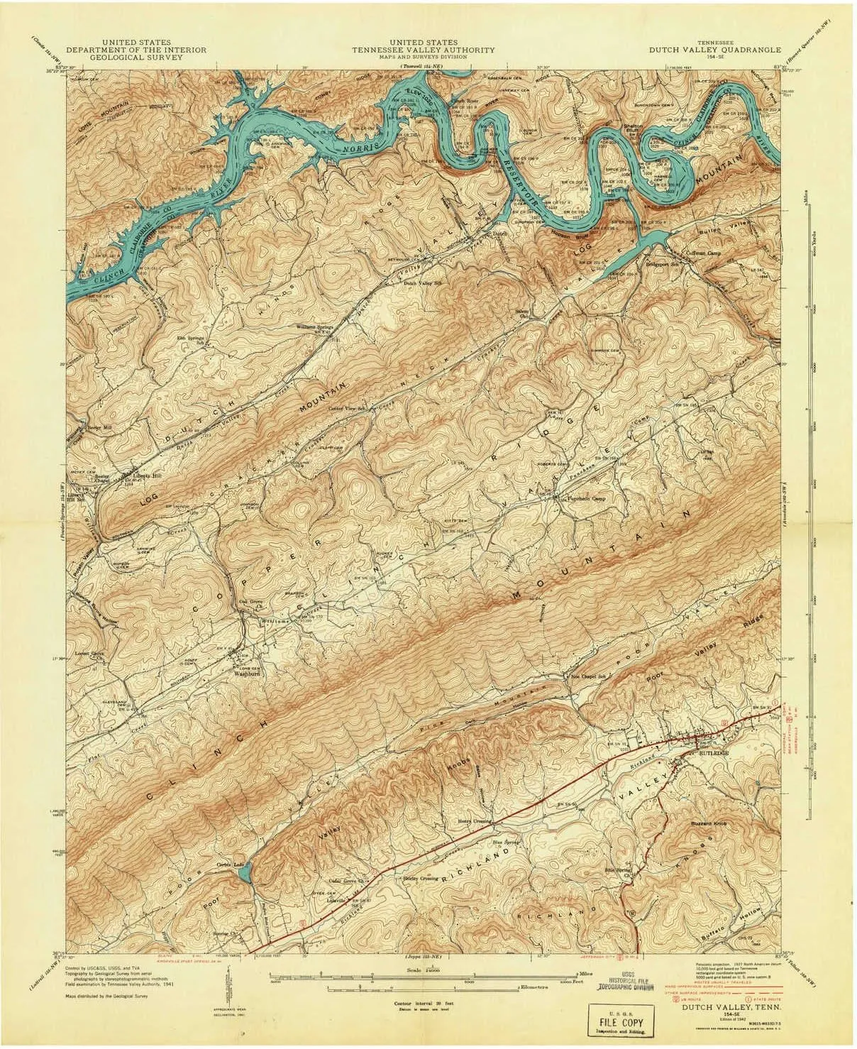
Dutch Valley TN topo map, 1:24000 Scale, 7.5 X 7.5 Minute, Historical, 1942, 27.4 x 22 in

Dutch Valley TN topo map, 1:24000 Scale, 7.5 X 7.5 Minute, Historical, 1942, 27.4 x 22 in

$ 52.00

$ 74.00

Save: $

Color:
  • Polypropylene
  • Regular Paper
  • Tyvek
Unavailable
Please select combo product attributes
The combo subtotal is $,SAVE$

Product Details

  • Printed on Polypropylene (plastic)
  • USGS topographic map of Dutch Valley, TN, at 1:24000 scale. Heavier material. Waterproof. Tear-resistant. Foldable. Perfect for the outdoors.
  • Cities, towns, villages: Sunset,Rutledge,Oakman (historical),Elm Springs,Washburn,Puncheon Camp,Liberty Hill,Clear Springs (historical),Williams Springs,Beeler Mill,Clinch River (historical),Lulaville
  • Islands: Sycamore Island (historical)
  • Parks and forests: Rutledge Recreational Park


USGS topographic map of Dutch Valley, Tennessee, dated 1942.

Includes geographic coordinates (latitude and longitude), lines of elevation, bodies of water, roads, and more. This topo quad is suitable for recreational, outdoor uses, office applications, or wall map framing.

Printed on-demand by YellowMaps on the print material of your choice.

Shipping rolled from Minneapolis, MN, United States.

Product Number: USGS-5334016
Map Size: 27.4 inches high x 22 inches wide
Map Scale: 1:24000
Map Type: POD USGS Topographic Map
Map Series: HTMC
Map Version: Historical
Cell ID: 13173
Scan ID: 147543
Field Check Year: 1941
Datum: NAD27
Map Projection: Polyconic
Map published by United States Geological Survey
Map published by Tennessee Valley Authority
Map Language: English
Scanner Resolution: 600 dpi
Map Cell Name: Dutch Valley
Grid size: 7.5 X 7.5 Minute
Date on map: 1942
Geographical region: Tennessee, United States
Northern map edge Latitude: 36.375°
Southern map edge Latitude: 36.25°
Western map edge Longitude: -83.625°
Eastern map edge Longitude: -83.5°

Surrounding map sheets (copy & paste the Product No. in the search bar):
North: USGS-5337922,USGS-5337924,USGS-5337926,USGS-5337920
East: USGS-5338622,USGS-5332432,USGS-5332434,USGS-5332426,USGS-5332430
South: USGS-5335326,USGS-5335324,USGS-5335328,USGS-5335332,USGS-5335322
West: USGS-5337024,USGS-5337026,USGS-5337020,USGS-5337022,USGS-5337018

You May Also Like

INFI Fishing Polarized Sunglasses for Men Driving Running Golf Sports Glasses Square UV Protection Designer Style Unisex

$ 36.00

Save: $

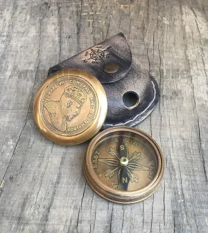
Collectible Nautical Antique Brass Camping, Hiking & Working Compass with Leather Case Marine Gift

$ 18.00

$ 22.00

Save: $

Camping Stove Windscreen Camp Stove Windscreen Outdoor Stove Windshield Screens Grilling Camping Gas

$ 12.00

$ 15.00

Save: $

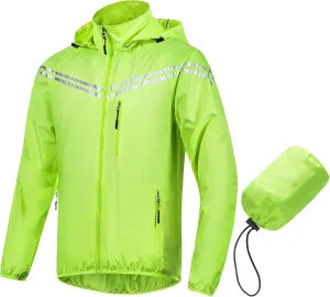
CREATMO US Men's Packable Waterproof Running Rain Coats Reflective Cycling Jacket Windbreaker With Removable Hood

$ 32.00

$ 46.00

Save: $

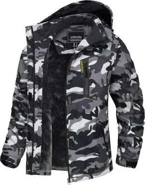
TACVASEN Women's Winter Jacket Waterproof Ski Jacket Hooded Fleece Lined Warm Snow Coat Mountain Windproof Rain Windbreaker

$ 47.00

$ 67.00

Save: $

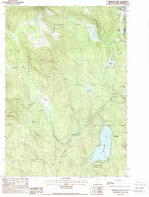
Maidstone Lake VT topo map, 1:24000 Scale, 7.5 X 7.5 Minute, Historical, 1988, Updated 1988, 26.8 x 22 in

$ 48.00

$ 69.00

Save: $

Gopune Women's Waterproof Windproof Outdoor Hiking Snow Ski Insulated Pants

$ 45.00

Save: $

YARNOW Portable Kerosene Stove Compact Outdoor Bbq Heater Easy to Operate Durable Design for Camping Garden Parties and Outdoor Cooking for People Use

$ 40.00

$ 58.00

Save: $

Mining Headlamp Rechargeable, Anti Explosion Coal Miner Head Light, LED Mining Light IP67 Waterproof Hard Hat Headlight Coal Mining Gear

$ 39.00

$ 56.00

Save: $

Oswego KS topo map, 1:62500 Scale, 15 X 15 Minute, Historical, 1948, 20.71 x 16.31 in

$ 45.00

$ 64.00

Save: $

Cart
Cooking Essentials&Outdoor Tools|Foldable Shovels,Windproof Stoves&Headlamps
Your cart is currently empty.