Cooking Essentials&Outdoor Tools|Foldable Shovels,Windproof Stoves&Headlamps
Cooking Essentials&Outdoor Tools|Foldable Shovels,Windproof Stoves&Headlamps Cooking Essentials&Outdoor Tools|Foldable Shovels,Windproof Stoves&Headlamps
Home Navigation Gear Waterproof Hiking Map
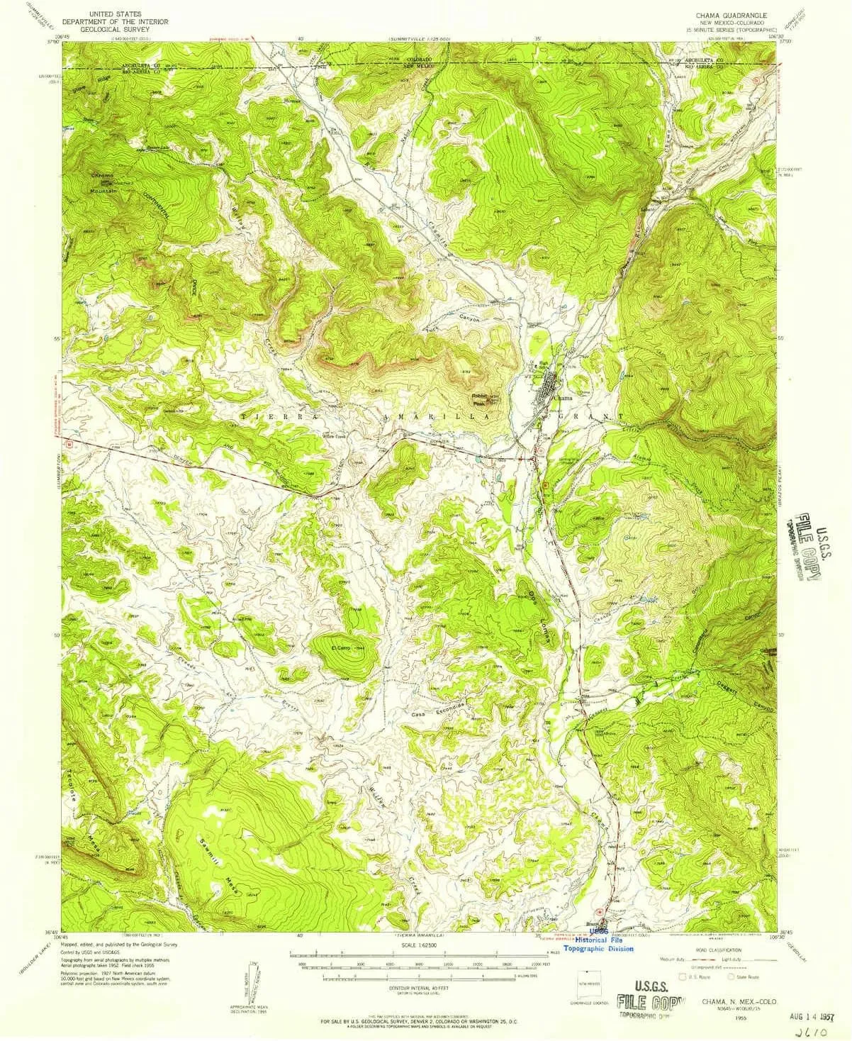
Chama NM topo map, 1:62500 Scale, 15 X 15 Minute, Historical, 1955, Updated 1957, 20.9 x 17 in

Chama NM topo map, 1:62500 Scale, 15 X 15 Minute, Historical, 1955, Updated 1957, 20.9 x 17 in

$ 45.00

$ 64.00

Save: $

Color:
  • Polypropylene
  • Regular Paper
  • Tyvek
Unavailable
Please select combo product attributes
The combo subtotal is $,SAVE$

Product Details

  • Printed on Polypropylene (plastic)
  • USGS topographic map of Chama, NM, at 1:62500 scale. Heavier material. Waterproof. Tear-resistant. Foldable. Perfect for the outdoors.
  • Cities, towns, villages: Chama,Lobato,Willow Creek,Brazos
  • Islands: Consult topo map preview for visible islands.
  • Parks and forests: Cumbres Pass Historical Marker,Chama Historical Marker,Cumbres and Toltec Scenic Railroad Historical Marker


USGS topographic map of Chama, New Mexico, dated 1955, updated 1957.

Includes geographic coordinates (latitude and longitude), lines of elevation, bodies of water, roads, and more. This topo quad is suitable for recreational, outdoor uses, office applications, or wall map framing.

Printed on-demand by YellowMaps on the print material of your choice.

Shipping rolled from Minneapolis, MN, United States.

Product Number: USGS-5385450
Map Size: 20.9 inches high x 17 inches wide
Map Scale: 1:62500
Map Type: POD USGS Topographic Map
Map Series: HTMC
Map Version: Historical
Cell ID: 52353
Scan ID: 190138
Imprint Year: 1957
Woodland Tint: Yes
Aerial Photo Year: 1952
Field Check Year: 1955
Datum: NAD27
Map Projection: Polyconic
Map published by United States Geological Survey
Map Language: English
Scanner Resolution: 600 dpi
Map Cell Name: Chama
Grid size: 15 X 15 Minute
Date on map: 1955
Geographical region: New Mexico, United States
Northern map edge Latitude: 37°
Southern map edge Latitude: 36.75°
Western map edge Longitude: -106.75°
Eastern map edge Longitude: -106.5°

Surrounding map sheets (copy & paste the Product No. in the search bar):
North: USGS-5358159,USGS-5347967,USGS-5358153,USGS-5358157,USGS-5358155
East: USGS-5378480,USGS-5385346,USGS-5385344,USGS-5378482,USGS-5385340
South: USGS-5380716,USGS-5385978,USGS-5380718,USGS-5385980
West: USGS-5385716,USGS-5385718,USGS-5385712,USGS-5385714,USGS-5380834

You May Also Like

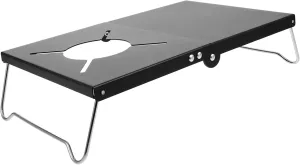
VANZACK Outdoor Grill Table Folding Camp Stove Table Aluminum Camping Cooking Gear Heat Resistant Stand

$ 21.00

$ 26.00

Save: $

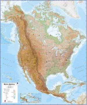
Maps International Huge Physical North America Wall Map - Laminated - 55 x 46

$ 63.00

$ 114.00

Save: $

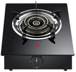
Indoor Portable Built-in Dual-purpose Gas Stove,Table Top Cooker Single Burner Gas Hob,Cast Iron Grille,for Home Camping(NG)

$ 96.00

$ 241.00

Save: $

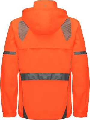
Little Donkey Andy Men's Waterproof Running Cycling Rain Jacket Reflective Raincoats Packable Windbreaker-Removable Hood

$ 51.00

$ 73.00

Save: $

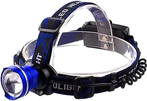
HD Rechargable Headlamp T6 500 Lumens Hands Free Headlamp Flashlight Battery Pack Included

$ 21.00

$ 27.00

Save: $

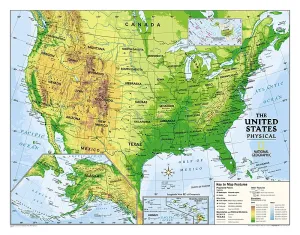
National Geographic Kids Physical USA Education: Grades 4 - 12 Wall Map - Laminated (51 x 40 in) (National Geographic Reference Map) Map – June 1, 2010

$ 24.00

$ 30.00

Save: $

H200 Headlamp Flashlight,1100 lumens USB Magnetic Rechargeable LED Headlamp,Hands-Free Reliable Angle Ligh for Running Camping Hiking Caving (Green, H200 Neutral White High CRI)

$ 55.00

$ 78.00

Save: $

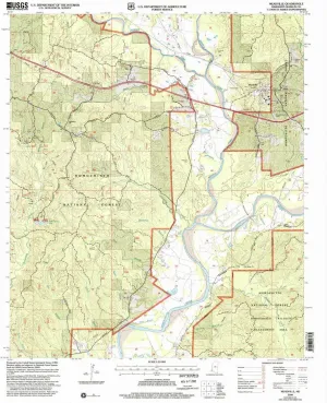
Meadville MS topo map, 1:24000 Scale, 7.5 X 7.5 Minute, Historical, 2000, Updated 2002, 26.8 x 21.9 in

$ 49.00

$ 82.00

Save: $

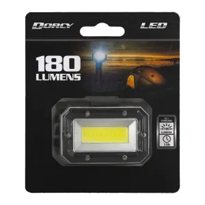
Dorcy 180 Lumen Headlamp/3 Modes/Adjustable Head Strap

$ 29.99

Save: $

House Greyjoy: Ironborn Bowmen

$ 35.00

Save: $

Cart
Cooking Essentials&Outdoor Tools|Foldable Shovels,Windproof Stoves&Headlamps
Your cart is currently empty.