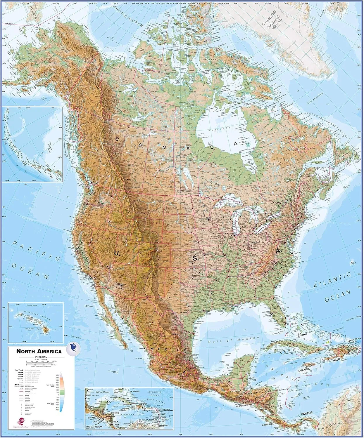
- MAP SIZE: This map poster measures 55 (h) x 46 (w) inches
- WRITE-ON FINISH: This Huge Physical North America Map Poster is finished with a lamination process known as encapsulation. Encapsulation means the print is heat-sealed between two sheets of industrial-quality plastic film. Please note that the edges of this print are not sealed.
- DETAILED CONTINENTAL MAP: This map poster features country boundaries, major towns and cities and also contains hill and sea shading.
- HOME, OFFICE OR SCHOOL: This map will be the perfect addition to any space.
- MAPS INTERNATIONAL: Our philosophy of 'cartographic excellence' combines detail, design and high quality finishes in a range of stunning wall maps.
This North America physical wall map covers a huge expanse of land from Alaska and Canada through the United States down to Mexico, Central America and the Caribbean.
North American Map Detail: This physical wall map of North America features the natural terrain of the land, with countries marked and international borders shown. The map's key helps to identify the land elevation and water depth. This North American physical wall map also contains city population detail, capital cities and all the major towns and cities in this continent of North America.
Map Uses: Major motorways and transport lines are shown making it an ideal map for your planning and logistics needs in this American continent.
This Huge Physical North America Wall Map (Laminated) gives the map a write-on/wipe-off finish. Anything you write on the map with a dry erase marker can be wiped off using a suitable cleaner.
Made from: This Physical North America Wall Map is finished with a lamination process known as encapsulation. Encapsulation means the print is heat-sealed between two sheets of industrial-quality plastic film. Please note that the edges of this print are not sealed.

