Cooking Essentials&Outdoor Tools|Foldable Shovels,Windproof Stoves&Headlamps
Cooking Essentials&Outdoor Tools|Foldable Shovels,Windproof Stoves&Headlamps Cooking Essentials&Outdoor Tools|Foldable Shovels,Windproof Stoves&Headlamps
Home Navigation Gear Waterproof Hiking Map
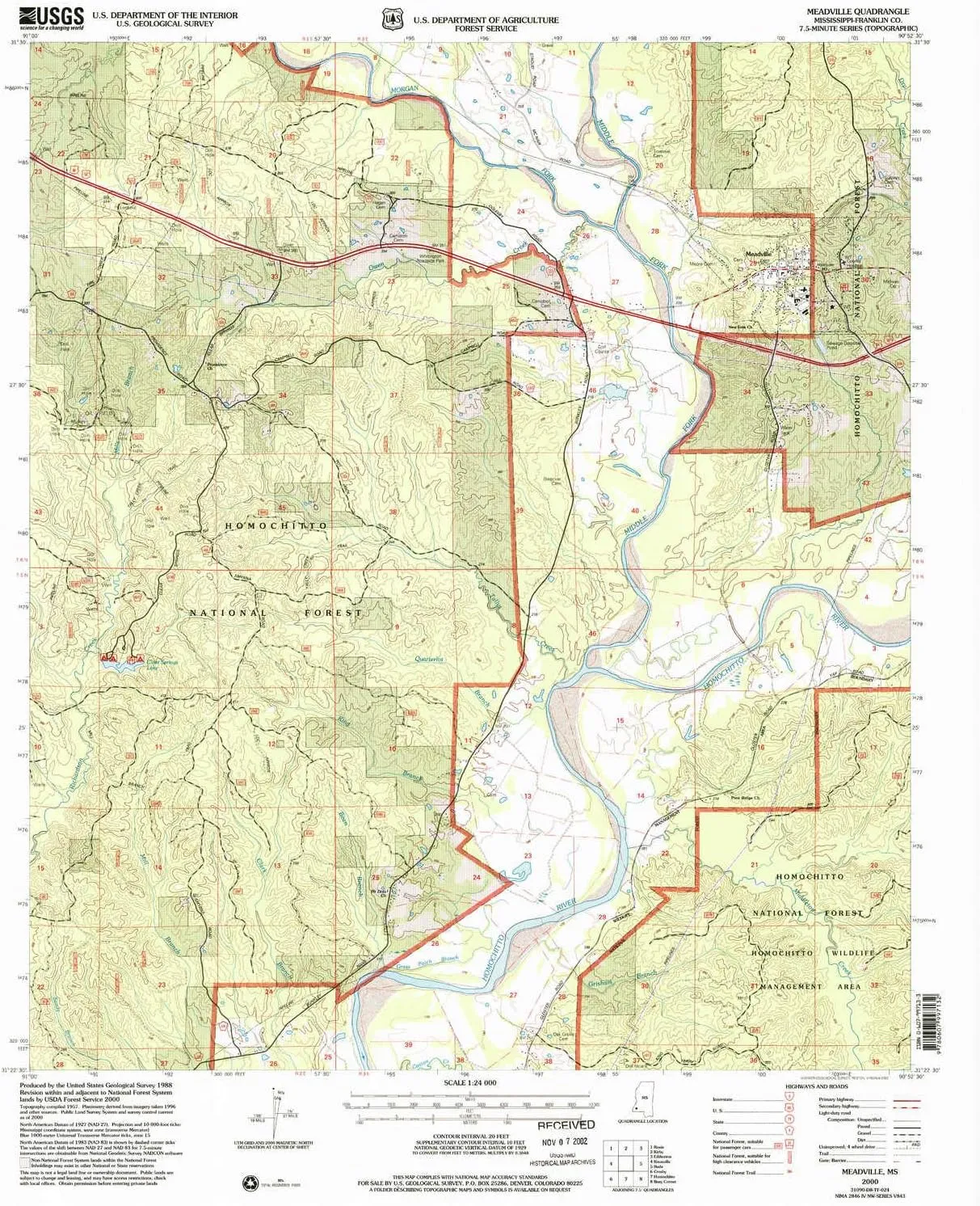
Meadville MS topo map, 1:24000 Scale, 7.5 X 7.5 Minute, Historical, 2000, Updated 2002, 26.8 x 21.9 in

Meadville MS topo map, 1:24000 Scale, 7.5 X 7.5 Minute, Historical, 2000, Updated 2002, 26.8 x 21.9 in

$ 49.00

$ 82.00

Save: $

Color:
  • Polypropylene
  • Regular Paper
  • Tyvek
Unavailable
Please select combo product attributes
The combo subtotal is $,SAVE$

Product Details

  • Printed on Tyvek® (synthetic)
  • USGS topographic map of Meadville, MS, at 1:24000 scale. Lighter material. Waterproof. Tear-resistant. Foldable. Very durable. Perfect for backpacking and the outdoors.
  • Cities, towns, villages: Meadville,Suffolk
  • Mountains: High elevation topographical features like high summits and peaks.
  • Valleys: Low elevation topographic features such as flatlands, river valleys, and canyons.


USGS topographic map of Meadville, Mississippi, dated 2000, updated 2002.

Includes geographic coordinates (latitude and longitude), lines of elevation, bodies of water, roads, and more. This topo quad is suitable for recreational, outdoor uses, office applications, or wall map framing.

Printed on-demand by YellowMaps on the print material of your choice.

Shipping rolled from Minneapolis, MN, United States.

Product Number: USGS-5596894
Map Size: 26.8 inches high x 21.9 inches wide
Map Scale: 1:24000
Map Type: POD USGS Topographic Map
Map Series: HTMC
Map Version: Historical
Cell ID: 28602
Scan ID: 336104
Imprint Year: 2002
Woodland Tint: Yes
Aerial Photo Year: 1996
Edit Year: 2000
Datum: NAD27
Map Projection: Transverse Mercator
Map published by United States Geological Survey
Map published by United States Forest Service
Map Language: English
Scanner Resolution: 600 dpi
Map Cell Name: Meadville
Grid size: 7.5 X 7.5 Minute
Date on map: 2000
Geographical region: Mississippi, United States
Northern map edge Latitude: 31.5°
Southern map edge Latitude: 31.375°
Western map edge Longitude: -91°
Eastern map edge Longitude: -90.875°

Surrounding map sheets (copy & paste the Product No. in the search bar):
North: USGS-5598852,USGS-5598964,USGS-5596528,USGS-5598966,USGS-5598850
East: USGS-5595554
South: USGS-5596370,USGS-5596368
West: USGS-5596544,USGS-5596542

You May Also Like

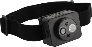
Head Mounted Sports Camera, 1080P Adjustable Lighting Angle Sports Camera, 1000mAh Smart Sensing Wearable Body Camera with 2.0M CMOS Sensor, for Running

$ 23.00

$ 29.00

Save: $

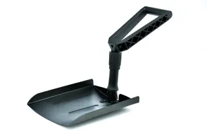
TABOR TOOLS Collapsible Outdoor Spade, Folding Snow Shovel, J3A.

$ 23.49

Save: $

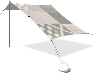
Grey Patchwork Pattern Designed UPF50 Foldable Beach Canopy Lightweight Outdoor Sun Shade with Sandbags, Sand Shovel, Poles for Camping, Picnics, Backyard paraguas para Playa

$ 62.00

$ 113.00

Save: $

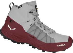
Salewa Women's Pedroc Pro Powertex Waterproof Trekking & Hiking Boot

$ 200.00

Save: $

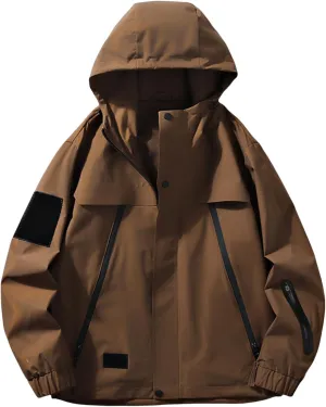
Men'S Waterproof And Windproof Jacket For Outdoor Activities Fishing Hiking Mountaineering Hooded Jacket.

$ 27.00

$ 39.00

Save: $

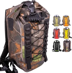
Hydric 25L Waterproof Backpack - Heavy Duty Dry Bag with Roll-Top Closure for Outdoor Adventures, Floating River, Hunting, Hiking, Canoeing, Kayaking, Rafting or Beach - Camo

$ 56.00

$ 80.00

Save: $

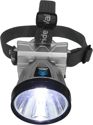
KICHOUSE Led Headlamp Rechargeable 1200mah*2 Battery White Light Hands Headlamp for Outdoor Activities Safe and Sturdy

$ 20.00

$ 25.00

Save: $

GOLDEN CAMEL Men's Winter Jacket Windproof Ski Snow Jacket Waterproof Thicken Parka Rain Jacket Warm Puffer Coat

$ 39.00

$ 56.00

Save: $

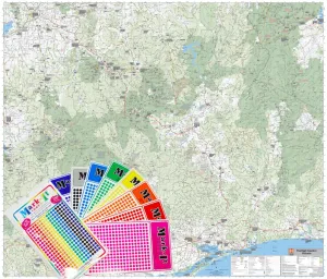
High Country Victoria Hema Supermap 1170 x 1000mm Wall Map with FREE MAP DOTS

$ 129.95

Save: $

U.S. Forest Service Map: Frank Church River Of No Return Wilderness Area Map (North Half) - Waterproof, Topographic, Recreation, Full Color, Smooth Finish, 1999 Paper Size

$ 23.00

$ 33.00

Save: $

Cart
Cooking Essentials&Outdoor Tools|Foldable Shovels,Windproof Stoves&Headlamps
Your cart is currently empty.