Cooking Essentials&Outdoor Tools|Foldable Shovels,Windproof Stoves&Headlamps
Cooking Essentials&Outdoor Tools|Foldable Shovels,Windproof Stoves&Headlamps Cooking Essentials&Outdoor Tools|Foldable Shovels,Windproof Stoves&Headlamps
Home Navigation Gear Waterproof Hiking Map
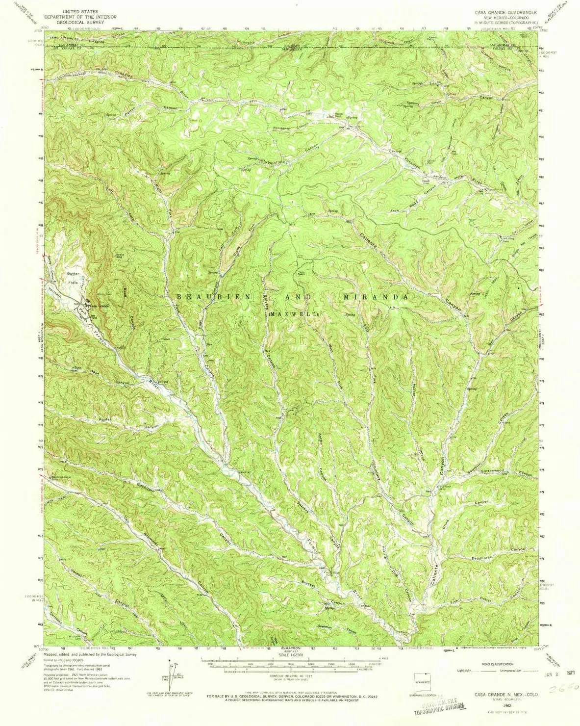
Casa Grande NM topo map, 1:62500 Scale, 15 X 15 Minute, Historical, 1962, Updated 1973, 20.9 x 17.1 in

Casa Grande NM topo map, 1:62500 Scale, 15 X 15 Minute, Historical, 1962, Updated 1973, 20.9 x 17.1 in

$ 45.00

$ 64.00

Save: $

Color:
  • Polypropylene
  • Regular Paper
  • Tyvek
Unavailable
Please select combo product attributes
The combo subtotal is $,SAVE$

Product Details

  • Printed on Polypropylene (plastic)
  • USGS topographic map of Casa Grande, NM, at 1:62500 scale. Heavier material. Waterproof. Tear-resistant. Foldable. Perfect for the outdoors.
  • Cities, towns, villages: Casa Grande
  • Islands: Consult topo map preview for visible islands.
  • Parks and forests: National Parks, National Forests, etc. Please preview map image for specifics.


USGS topographic map of Casa Grande, New Mexico, dated 1962, updated 1973.

Includes geographic coordinates (latitude and longitude), lines of elevation, bodies of water, roads, and more. This topo quad is suitable for recreational, outdoor uses, office applications, or wall map framing.

Printed on-demand by YellowMaps on the print material of your choice.

Shipping rolled from Minneapolis, MN, United States.

Product Number: USGS-5385434
Map Size: 20.9 inches high x 17.1 inches wide
Map Scale: 1:62500
Map Type: POD USGS Topographic Map
Map Series: HTMC
Map Version: Historical
Cell ID: 52237
Scan ID: 190064
Imprint Year: 1973
Woodland Tint: Yes
Aerial Photo Year: 1961
Field Check Year: 1962
Datum: NAD27
Map Projection: Polyconic
Map published by United States Geological Survey
Map Language: English
Scanner Resolution: 600 dpi
Map Cell Name: Casa Grande
Grid size: 15 X 15 Minute
Date on map: 1962
Geographical region: New Mexico, United States
Northern map edge Latitude: 37°
Southern map edge Latitude: 36.75°
Western map edge Longitude: -105°
Eastern map edge Longitude: -104.75°

Surrounding map sheets (copy & paste the Product No. in the search bar):
North: USGS-5359595,USGS-5359587,USGS-5359593,USGS-5359087,USGS-5356663
East: USGS-5385352,USGS-5385348,USGS-5379502,USGS-5385350
South: USGS-5385468,USGS-5385470,USGS-5385472,USGS-5659066
West: USGS-5385294,USGS-5385292,USGS-5385296,USGS-5384809,USGS-5384811

You May Also Like

3-4/4-6 Person Hexagon Mongolian Yurt Tent Rainproof Anti-UV Breathable Double Layer Camping Tents for Outdoor Camping

$ 194.00

$ 555.00

Save: $

Keychain Flint Fire Starter

$ 14.99

Save: $

Columbia Women's Discontinued Newton Ridge Plus Waterproof Amped

$ 57.00

$ 95.00

Save: $

Camping Stove,Portable Stainless Steel 5 Heads 12800W High Power Gas Cooking Stove for Outdoor Picnic

$ 23.00

$ 33.00

Save: $

Topyond 48 In Pocket Chainsaw, Rope Chain Saw with Black Paracord, 64 Links, 3/8 Inch Cutter Chain, Folding High Limb Rope Saw for Wood-Cutting, Camping and Field Survival Gear

$ 16.00

$ 20.00

Save: $

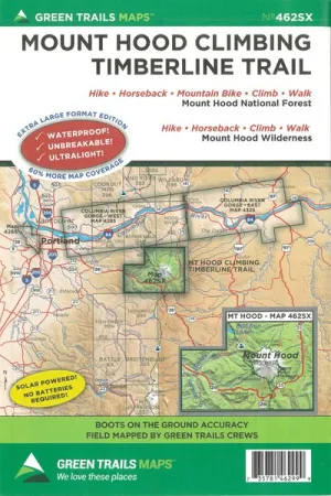
Mt. Hood Climb / Timberline Trail, Oregon No. 462SX

$ 18.00

Save: $

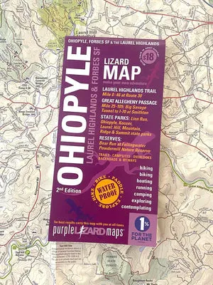
Ohiopyle / Laurel Highlands, Pennsylvania Map

$ 18.00

Save: $

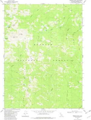
Preston Peak CA topo map, 1:24000 Scale, 7.5 X 7.5 Minute, Historical, 1982, Updated 1982, 26.7 x 21.9 in

$ 48.00

$ 69.00

Save: $

Uiifan 2 Pcs Rock Climber Mugs - 12 oz Hold Mugs with Climber Handle, Mountain Climbing Gifts and Accessories Pinch Holder Cup for Coffee Tea (White, Blue)

$ 20.00

$ 25.00

Save: $

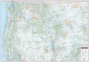
Northwestern United States Wall Map 1325 x 928mm

$ 99.95

Save: $

Cart
Cooking Essentials&Outdoor Tools|Foldable Shovels,Windproof Stoves&Headlamps
Your cart is currently empty.