Cooking Essentials&Outdoor Tools|Foldable Shovels,Windproof Stoves&Headlamps
Cooking Essentials&Outdoor Tools|Foldable Shovels,Windproof Stoves&Headlamps Cooking Essentials&Outdoor Tools|Foldable Shovels,Windproof Stoves&Headlamps
Home Navigation Gear Waterproof Hiking Map
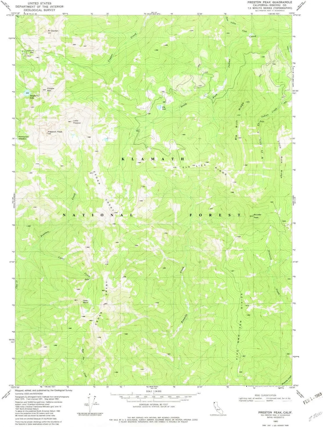
Preston Peak CA topo map, 1:24000 Scale, 7.5 X 7.5 Minute, Historical, 1982, Updated 1982, 26.7 x 21.9 in

Preston Peak CA topo map, 1:24000 Scale, 7.5 X 7.5 Minute, Historical, 1982, Updated 1982, 26.7 x 21.9 in

$ 48.00

$ 69.00

Save: $

Color:
  • Polypropylene
  • Regular Paper
  • Tyvek
Unavailable
Please select combo product attributes
The combo subtotal is $,SAVE$

Product Details

  • Printed on Tyvek® (synthetic)
  • USGS topographic map of Preston Peak, CA, at 1:24000 scale. Lighter material. Waterproof. Tear-resistant. Foldable. Very durable. Perfect for backpacking and the outdoors.
  • Cities, towns, villages: Please see map preview to find populated places, townships, as well as roads and street names if available.
  • Mountains: El Capitan,Little Preston,Copper Mountain,Boulder Peak,Preston Peak
  • Valleys: Low elevation topographic features such as flatlands, river valleys, and canyons.


USGS topographic map of Preston Peak, California, dated 1982, updated 1982.

Includes geographic coordinates (latitude and longitude), lines of elevation, bodies of water, roads, and more. This topo quad is suitable for recreational, outdoor uses, office applications, or wall map framing.

Printed on-demand by YellowMaps on the print material of your choice.

Shipping rolled from Minneapolis, MN, United States.

Product Number: USGS-5521195
Map Size: 26.7 inches high x 21.9 inches wide
Map Scale: 1:24000
Map Type: POD USGS Topographic Map
Map Series: HTMC
Map Version: Historical
Cell ID: 36400
Scan ID: 294386
Imprint Year: 1982
Woodland Tint: Yes
Aerial Photo Year: 1975
Edit Year: 1982
Field Check Year: 1977
Datum: NAD27
Map Projection: Lambert Conformal Conic
Map published by United States Geological Survey
Map Language: English
Scanner Resolution: 600 dpi
Map Cell Name: Preston Peak
Grid size: 7.5 X 7.5 Minute
Date on map: 1982
Geographical region: California, United States
Northern map edge Latitude: 41.875°
Southern map edge Latitude: 41.75°
Western map edge Longitude: -123.625°
Eastern map edge Longitude: -123.5°

Surrounding map sheets (copy & paste the Product No. in the search bar):
North: USGS-5657857,USGS-5657855
East: USGS-5515141,USGS-5502043,USGS-5502041,USGS-5515139
South: USGS-5508167,USGS-5508169,USGS-5508171
West: USGS-5512455,USGS-5512461,USGS-5512459,USGS-5512463,USGS-5512457

You May Also Like

Ledlenser KIDLED4R, Safe LED headlamp for Children, Reading, Night Hike, Colorful Signal, Light Toys (Purple)

$ 20.00

Save: $

baleaf Men's Rain Jacket Waterproof Windbreaker Running Cycling Golf Hiking Gear Hood Lightweight Reflective Packable

$ 39.00

$ 56.00

Save: $

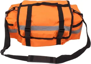
Emergency Equipment Bag, Portable Survival Emergency Bag, Polyester First Aid Bag for Home Outdoor

$ 25.00

$ 36.00

Save: $

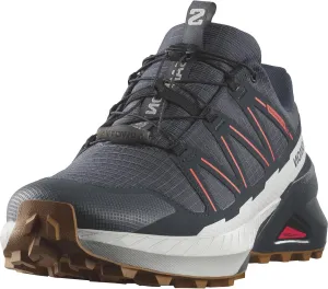
Salomon Men's Speedcross Peak Climasalomon Waterproof Hiking Shoe

$ 69.00

$ 125.00

Save: $

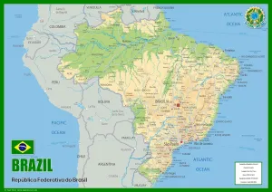
Brazil Physical Map - 23.3 x 16.5 Inches - Paper Laminated

$ 25.00

Save: $

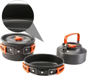
HANABASS 1 Set Camping Pan Set Portable Cutlery Camping Cookware Kit Camping Tool Camping Utensils Camping Pots

$ 19.00

$ 23.00

Save: $

The Americas Classic Map, Laminated

$ 24.95

Save: $

Home Comforts Construction of Lombron Airfield (A-37), France, 1944-20 Inch By 30 Inch Laminated Poster With Bright Colors And Vivid Imagery-Fits Perfectly In Many Attractive Frames

$ 13.00

$ 16.00

Save: $

Outdoor Portable Bbq Grill with Mesh Accessory Durable Iron Alloy Design for Camping Tailgating Easy to Resistant for Bonfire Activities and Backyard

$ 37.00

$ 52.00

Save: $

Argyle MN topo map, 1:24000 Scale, 7.5 X 7.5 Minute, Historical, 1982, Updated 1982, 27.29 x 21.21 in

$ 45.00

$ 64.00

Save: $

Cart
Cooking Essentials&Outdoor Tools|Foldable Shovels,Windproof Stoves&Headlamps
Your cart is currently empty.