The Ohiopyle-Laurel Highlands Lizard Map some of the most popular outdoor recreational playgrounds in Pennsylvania, including Ohiopyle State Park, most of Forbes State Forest and a big section of the Laurel Highlands region.
Hiking, biking, boating, camping - this part of Pennsylvania has it all! and the Ohiopyle-Laurel Highlands Lizard Map will help your customers plan outstanding adventures!
Public land: seven Pennsylvania State Parks: Laurel Ridge, Laurel Hill, Laurel Summit, Laurel Mountain, Linn Run, Kooser, Ohiopyle; and most of Forbes State Forest, Bear Run Reserve at Fallingwater, State Game Lands 50, 51, 82, 111, 265, 271, 296; and much of Western Pennsylvania's famed Laurel Highlands.
Destinations: historic sites of Fallingwater and Kentuck Knob, Ferncliff Peninsula National Landmark, Fort Necessity National Battlefield, Braddock’s Grave, Jumonville Glen, and the Flight 93 National Memorial.
Roads: all Lizard Maps show which roads are paved, dirt/gravel or 4wd roads as well as which are gated. Perfect for bicyclists, dual sport riders and overlanders looking to put together a remote backcountry route across public lands.
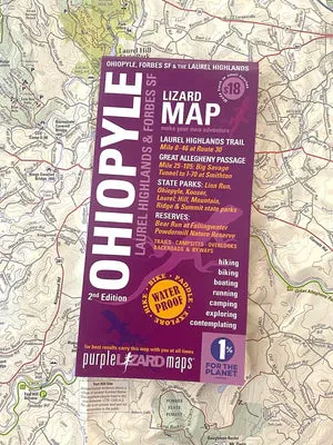
Major hiking trails: miles 0-46 of the Laurel Highlands Hiking Trail (LHHT) from its beginning at Ohiopyle State Park north to the Rt 30 Shelters, including designated Adirondack Shelters along the route, trailhead parking access, permit information, and distance between shelters.
Major biking trails: over 80 miles of the Great Allegheny Passage (GAP) Rail Trail, including the Big Savage Tunnel, the Eastern Continental Divide, Keystone Viaduct, Salisbury Viaduct and Pinkerton Tunnel from the PA/MD state line to the PA Turnpike at Smithton, PA.
Even more trails! Lizard Maps highlight and designate public trails and paths including hiking, biking, equestrian, skiing, snowmobiling and rail trails managed by federal, state and local authorities, including Sheepskin Trail, Coal and Coke Trail and the Indian Creek Valley Trail.
Points of interest: campgrounds, picnic areas, river access, boat launches, climbing areas, reservable car camping sites, scenic overlooks, observation towers, waterfalls and lizard spots.
Natural Areas plus and special designated areas: Quebec Run Wild Area, Roaring Run Natural Area and Mount Davis - the highest point in Pennsylvania. For boaters the Middle and Lower sections of the Youghiogheny River with rapid names, put-in and take-out locations; Youghiogheny River Lake, Cranberry Glade Lake, High Point Lake and the Quemahoning Reservoir. The many waterfalls of Ohiopyle and the Laurel Highlands are noted, as well as the historic covered bridges throughout the region.
Towns: Addison, Connellsville, Confluence, Donegal, Meyersdale, Mount Pleasant, Perryopolis, Scottdale, Smithton, Somerset, and Uniontown, PA.
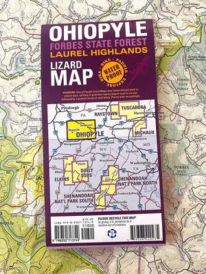
This map covers the area from Smithton, PA, in the northwest (Exit 49 on I-70) to the Quemahoning Reservoir at Route 219 and Route 30 in the northeast. From there it extends south to the PA-MD state line, including the Savage Tunnel on the GAP and the Quebec Wild Area by Uniontown, PA, at a scale of 1:87,000.
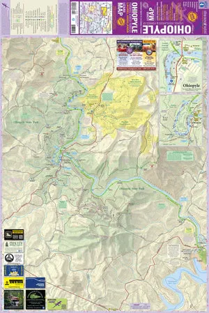
The opposite side is a detailed map of Ohiopyle State Park, showing the trail systems and river access at a scale of 1:27,200.
A beautifully designed, easy to read, topographic outdoor recreation map featuring contour lines, elevation data, shaded relief, and all the key details you need to plan your adventures: backroads and trails, trail use designations, road surfaces (paved/gravel), parking access, campsites, public lands, historic sites and more.
Lizard Maps are durable, waterproof, and give you the big picture – the map opens to 24” x 36” and folds easily to 4” x 8” to fit in your back pocket. The scale is 1:46,900, 1 inch equals 3/4 mile.


")

