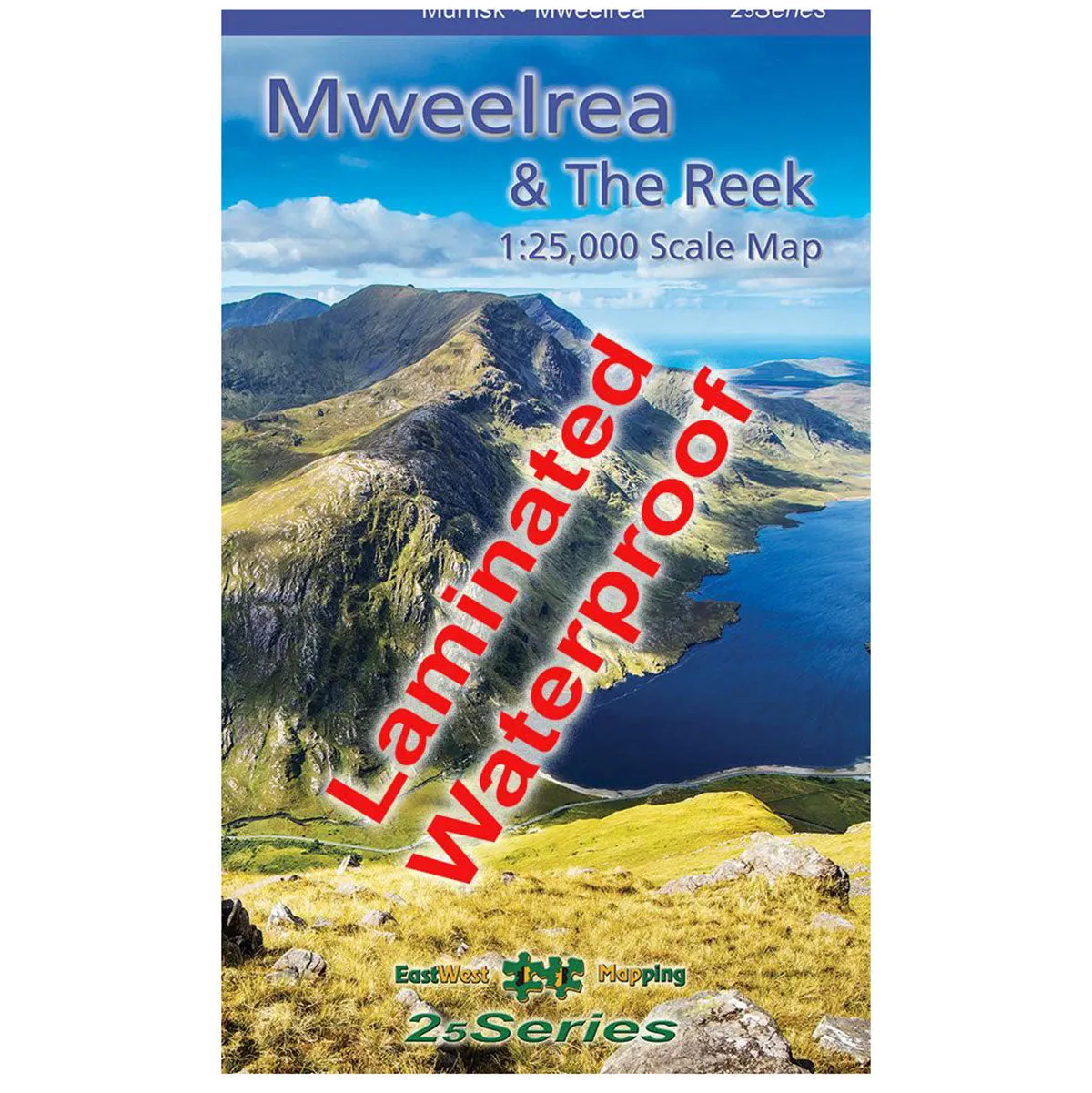
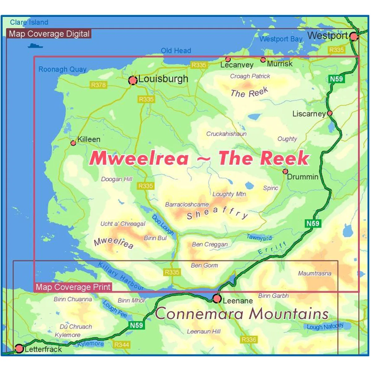
The Waterproof Mweelrea & The Reek 1:25,000 Map from East West Mapping is a definitive, detailed map covering Mweelrea and the region from Killary Harbour to Clew Bay, including the Sheaffrey Hills and The Reek (Croagh Patrick).
Features
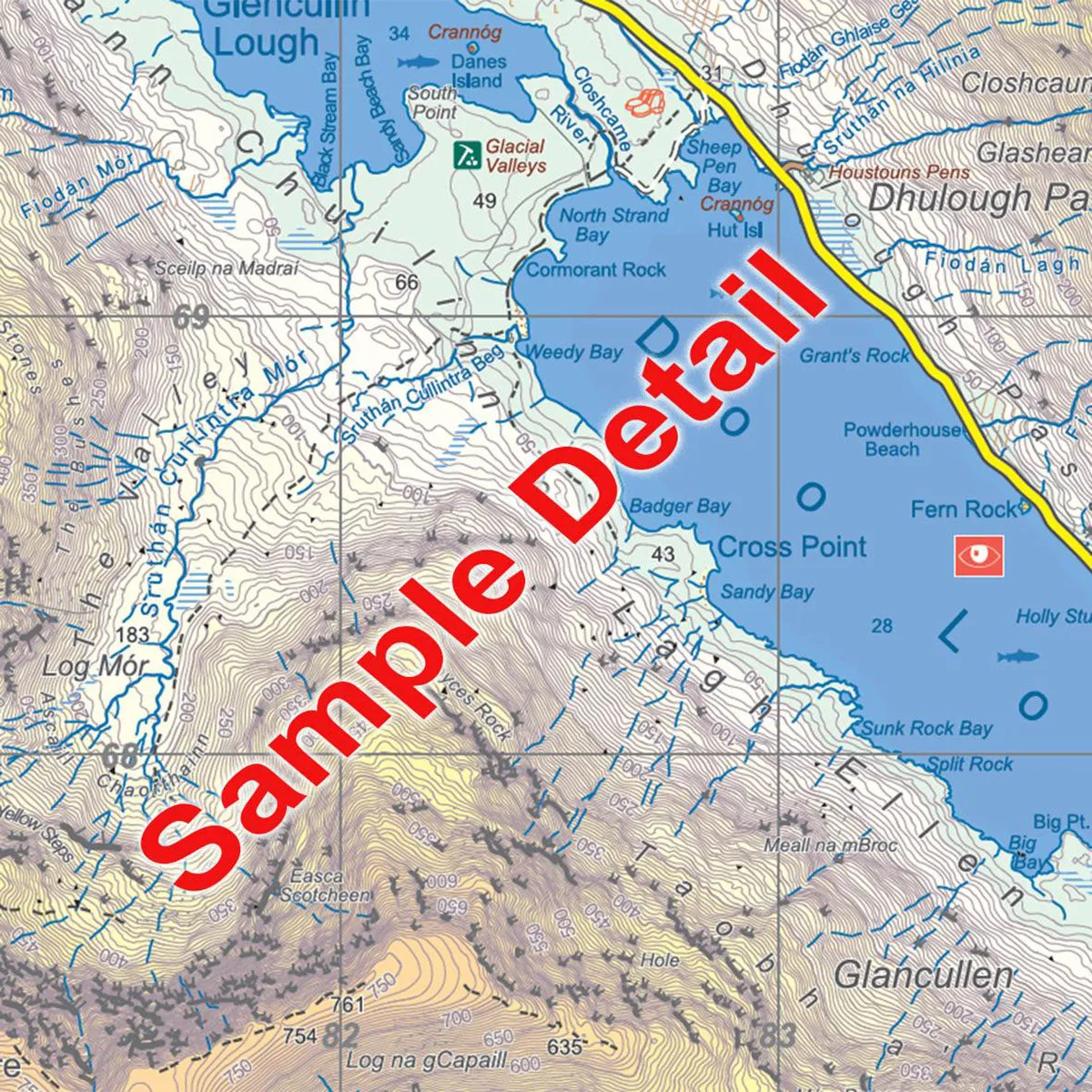
- Detailed map at 1:25,000 scale
- 5 metre contour interval for fine navigation
- Signposted walking trails depicted
- Printed on good quality Progeo 90gsm map paper
- Fully encapsulated/laminated for durability and weatherproofing
- Also available in standard folded paper version

")
![[CLEARANCE] Ace Camp Waterproof LED Headlamp 70 Lumens](https://www.toolight.shop/image/clearance-ace-camp-waterproof-led-headlamp-70-lumens_DTQXv4_300x.webp "[CLEARANCE] Ace Camp Waterproof LED Headlamp 70 Lumens")


