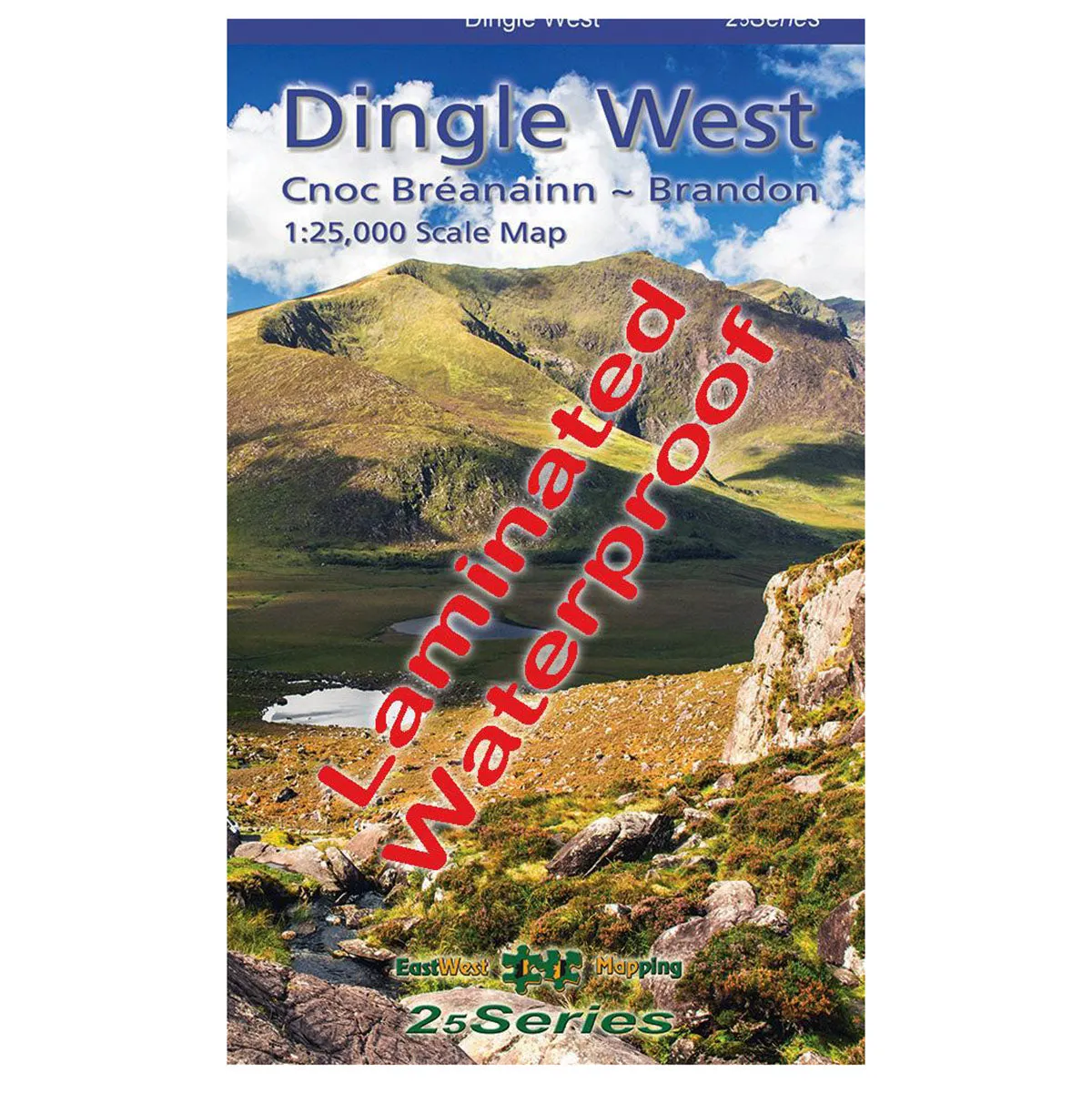
Explore the western end of the Dingle peninsula with this detailed, waterproof, laminated map at a 1:25,000 scale.
Features
- Waterproof and laminated for durability
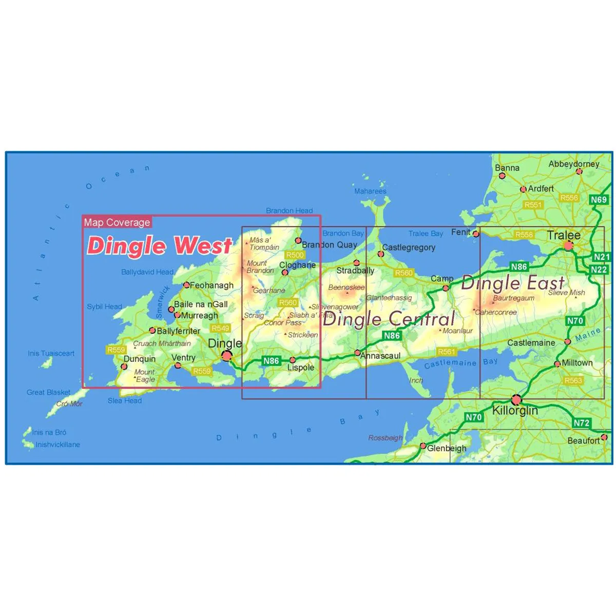
- Covers Dunquin to Conor Pass, including Mount Brandon
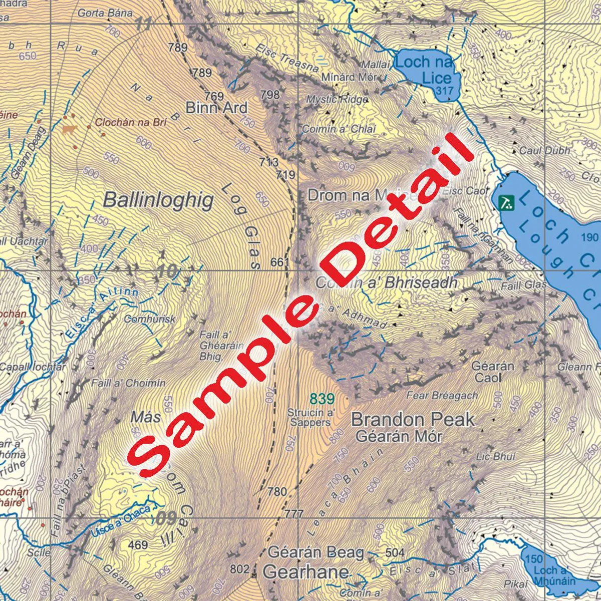
- 5 metre contour interval for precise navigation
- Signposted walking trails depicted
- Detailed topographic information with placenames and heritage sites


