Cooking Essentials&Outdoor Tools|Foldable Shovels,Windproof Stoves&Headlamps
Cooking Essentials&Outdoor Tools|Foldable Shovels,Windproof Stoves&Headlamps Cooking Essentials&Outdoor Tools|Foldable Shovels,Windproof Stoves&Headlamps
Home Navigation Gear Waterproof Hiking Map
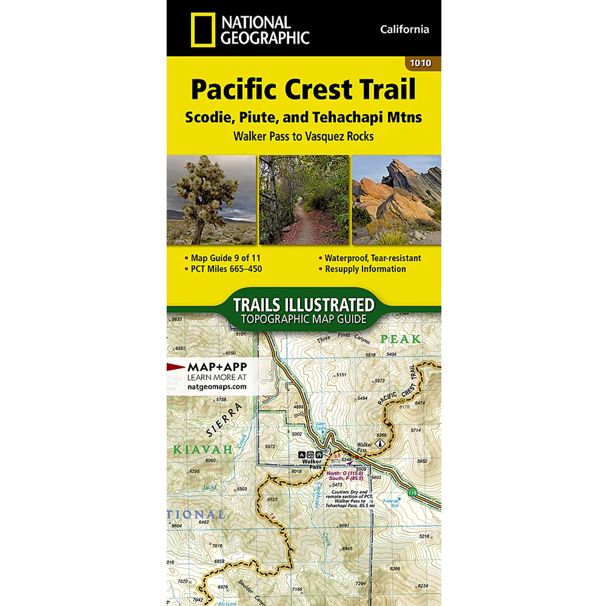
Pacific Crest Trail: Scodie, Piute, and Tehachapi Mountains Map

Pacific Crest Trail: Scodie, Piute, and Tehachapi Mountains Map

$ 14.95

$ 0.00

Save: $

Color:
  • One
Size:
  • One Size
Unavailable
Please select combo product attributes
The combo subtotal is $,SAVE$

Product Details

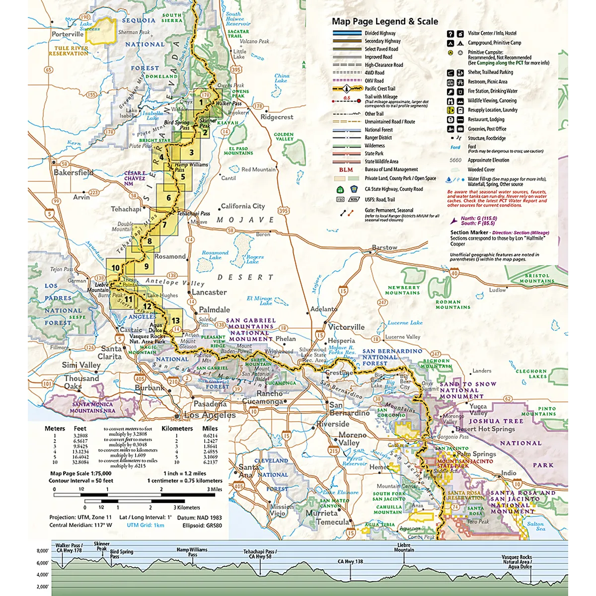
The Pacific Crest Trail (PCT) covered by this Topographic Map Guide in this part of Southern California leaves the southern reaches of the Sierra Nevada before climbing into the Tehachapi Mountains. As the trail enters the Mojave Desert it crossing the San Andreas Fault Zone. The lower elevations of Southern California are great for hiking in winter, spring, and fall. Summer months, however, can be dangerously hot with infrequent natural water sources.

The PCT spans 2,650 miles from the Canadian border, through Washington, Oregon, and California to the southern terminus at the Mexican border. The famous trail crosses some of the most wild and scenic landscapes of the western U.S., including six national parks, 25 national forests, 48 wilderness areas, the volcanic Cascade Range of the Pacific Northwest, the snowcapped Sierra Nevada, and the Mojave and Sonoran deserts.

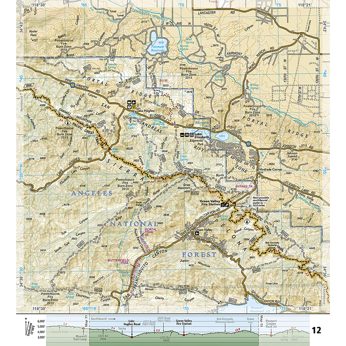
Each PCT Topographic Map Guide includes detailed topographic maps at a scale of almost 1 inch = 1 mile. Each page is centered on the PCT and overlaps with the adjacent pages so there is little chance of getting lost. Along the bottom of each page is a trail profile that shows the distance between camping areas, trailheads, and other points of interest. The map and trail profile provide a step by step visual guide to hiking the trail, mile by rugged mile. The Topographic Map Guide is built for all levels of hiking enthusiasts, from the day tripper to the multi month 'thru-hiker'. The front pages of the printed Topographic Map Guide include resupply locations, health and safety information, and much more.

More convenient and easier to use than folded maps, but just as compact and lightweight, National Geographic's Topographic Map Guide booklets are printed on "Backcountry Tough" waterproof, tear-resistant paper with stainless steel staples. A full UTM grid is printed on the map to aid with GPS navigation.

  • Printed on "Backcountry Tough" waterproof, tear-resistant paper
  • A full UTM grid is printed on the map to aid with GPS navigation
  • Topographic Map
  • Folded Size: 4.25" x 9.38"
  • Weight oz: 3
  • Page Count: 48

You May Also Like

Oaker XP102 USB-C Rechargeable Headlamp 1000 Lumen Floodlight & Spotlight IPX8 Waterproof LED Headlight with Adjustable Headband and Magnetic, Hand Free Head Lamp for Camping Hiking Hardhat

$ 21.00

$ 26.00

Save: $

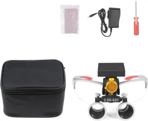
Optional 3W LED Headlamp Headlight with Yellow Filter 2.5X Loupes Binocular Magnifier Cloth Box (Silver)

$ 47.00

$ 67.00

Save: $

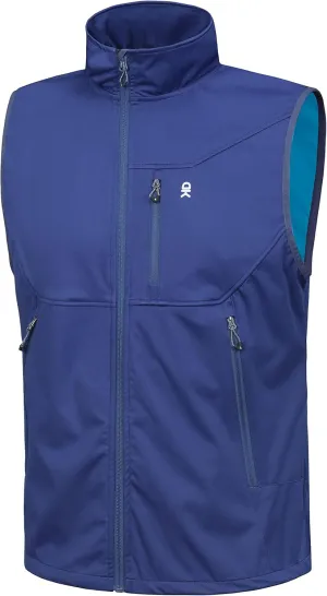
Little Donkey Andy Men's Lightweight Softshell Vest Windproof Sleeveless Jacket for Travel Hiking Running Golf

$ 30.00

$ 43.00

Save: $

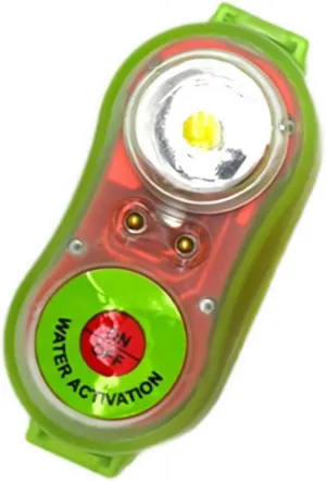
Life Jacket Light Fire Rescue Position Lights Water Activated Strobe Light for Man Overboard Survival Green

$ 13.00

$ 16.00

Save: $

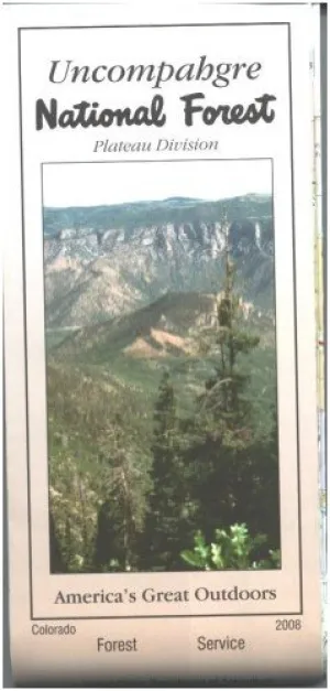
Uncompahgre National Forest Map (Plateau Division) - Waterproof Paperback – Folded Map, January 1, 2006

$ 23.00

$ 29.00

Save: $

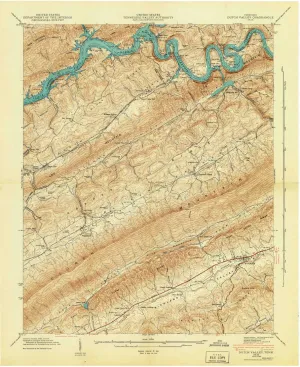
Dutch Valley TN topo map, 1:24000 Scale, 7.5 X 7.5 Minute, Historical, 1942, 27.4 x 22 in

$ 52.00

$ 74.00

Save: $

FREE SOLDIER Women's Waterproof Ski Snow Jacket Warm Fleece Lined Winter Rain Jacket with Hood Fully Taped Seams

$ 46.00

$ 66.00

Save: $

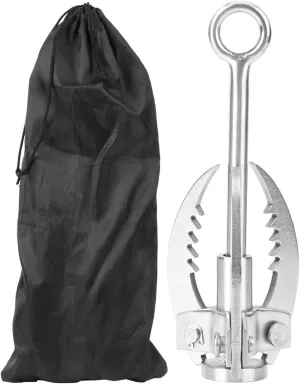
Joyzan Stainless Steel Folding Survival Claw, 3 Claws Folding Hook Outdoor Survival Rock Climbing Grappling Hook Anchor Hook Outdoor for Camping Hiking Tree Rock Mountain Climbing

$ 22.00

$ 31.00

Save: $

Outdoor Portable Barbecue Oven, Toast Small Gas Stove Double-Burner Windproof

$ 108.00

$ 308.00

Save: $

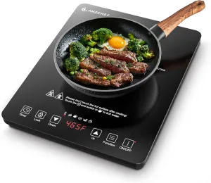
AMZCHEF Portable Induction Cooktop 20 Temperature & Power Levels, 1800W Induction Stove Burner with 5.9" Heating Coil, Low Noise Hot Plate Single Electric Cooktops Countertop Stove with Timer

$ 42.00

$ 60.00

Save: $

Cart
Cooking Essentials&Outdoor Tools|Foldable Shovels,Windproof Stoves&Headlamps
Your cart is currently empty.