Cooking Essentials&Outdoor Tools|Foldable Shovels,Windproof Stoves&Headlamps
Cooking Essentials&Outdoor Tools|Foldable Shovels,Windproof Stoves&Headlamps Cooking Essentials&Outdoor Tools|Foldable Shovels,Windproof Stoves&Headlamps
Home Navigation Gear Waterproof Hiking Map
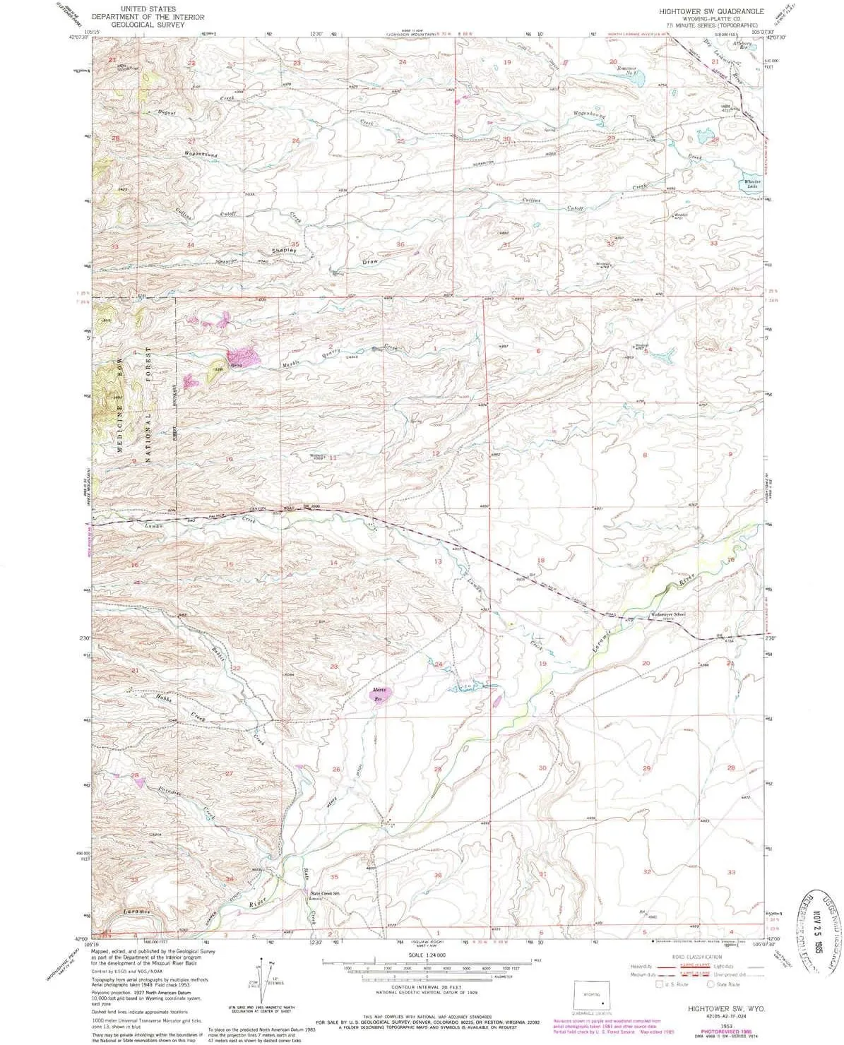
Hightower SW WY topo map, 1:24000 Scale, 7.5 X 7.5 Minute, Historical, 1953, Updated 1985, 26.7 x 21.6 in

Hightower SW WY topo map, 1:24000 Scale, 7.5 X 7.5 Minute, Historical, 1953, Updated 1985, 26.7 x 21.6 in

$ 45.00

$ 64.00

Save: $

Color:
  • Polypropylene
  • Regular Paper
  • Tyvek
Unavailable
Please select combo product attributes
The combo subtotal is $,SAVE$

Product Details

  • Printed on Polypropylene (plastic)
  • USGS topographic map of Hightower SW, WY, at 1:24000 scale. Heavier material. Waterproof. Tear-resistant. Foldable. Perfect for the outdoors.
  • Cities, towns, villages: Please see map preview to find populated places, townships, as well as roads and street names if available.
  • Islands: Consult topo map preview for visible islands.
  • Parks and forests: National Parks, National Forests, etc. Please preview map image for specifics.


USGS topographic map of Hightower SW, Wyoming, dated 1953, updated 1985.

Includes geographic coordinates (latitude and longitude), lines of elevation, bodies of water, roads, and more. This topo quad is suitable for recreational, outdoor uses, office applications, or wall map framing.

Printed on-demand by YellowMaps on the print material of your choice.

Shipping rolled from Minneapolis, MN, United States.

Product Number: USGS-5612632
Map Size: 26.7 inches high x 21.6 inches wide
Map Scale: 1:24000
Map Type: POD USGS Topographic Map
Map Series: HTMC
Map Version: Historical
Cell ID: 20417
Scan ID: 339857
Imprint Year: 1985
Woodland Tint: Yes
Photo Revision Year: 1985
Aerial Photo Year: 1981
Edit Year: 1985
Field Check Year: 1953
Datum: NAD27
Map Projection: Polyconic
Map published by United States Geological Survey
Map Language: English
Scanner Resolution: 600 dpi
Map Cell Name: Hightower SW
Grid size: 7.5 X 7.5 Minute
Date on map: 1953
Geographical region: Wyoming, United States
Northern map edge Latitude: 42.125°
Southern map edge Latitude: 42°
Western map edge Longitude: -105.25°
Eastern map edge Longitude: -105.125°

Surrounding map sheets (copy & paste the Product No. in the search bar):
North: USGS-5612990,USGS-5612988,USGS-5612992,USGS-5612994,USGS-5612986
East: USGS-5612638,USGS-5612636
South: USGS-5616032,USGS-5616028,USGS-5616030
West: USGS-5615128,USGS-5615126,USGS-5615124,USGS-5615130

You May Also Like

BONEW-Oral Cordless 5W Headlamp Head Light Clip-on Type with Optical Filter for Binocular Loupes Magnifer and Eyeglasses Adjustable Brightness Adjustable Angle DY-013

$ 39.00

$ 55.00

Save: $

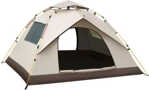
Factory spot Outdoor Camping Fully Automatic Waterproof and Sunscreen Quick-Opening Tent Camping Mosquito Proof Portable Tent

$ 45.00

$ 64.00

Save: $

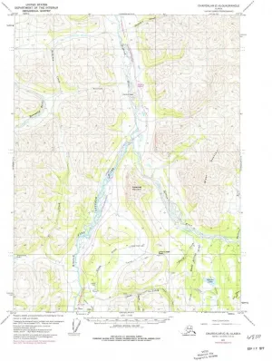
Chandalar C 6 AK topo map, 1:63360 Scale, 15 X 15 Minute, Historical, 1971, Updated 1977, 22 x 18.1 in

$ 52.00

$ 74.00

Save: $

Nautical Compass | Vintage Style Compass | Brass Compass| Maritime Collectibles |Gifts for him | Stocking fillers 2 Inch

$ 20.00

$ 25.00

Save: $

Camping Stove Portable Camping Stove Combo Wood Burning Stove and Cooking Pot Set Outdoor Camping Stove (Color : Silver, Size : One Size) (Silver One Size)

$ 71.00

$ 129.00

Save: $

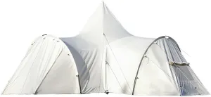
Outdoor Camping Tent Canopy Rainproof Windproof Tent Canopy

$ 2682.00

$ 7664.00

Save: $

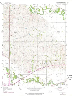
New Cambria KS topo map, 1:24000 Scale, 7.5 X 7.5 Minute, Historical, 1955, Updated 1978, 27.05 x 21.09 in

$ 48.00

$ 69.00

Save: $

Elba Road Map by Freytag & Berndt (2015)

$ 15.00

Save: $

USA Time Zone Map - 36 x 24 inch Poster - Front Lamination

$ 26.00

$ 37.00

Save: $

Lake Nellie FL topo map, 1:24000 Scale, 7.5 X 7.5 Minute, Historical, 1959, Updated 1981, 26.8 x 23 in

$ 45.00

$ 64.00

Save: $

Cart
Cooking Essentials&Outdoor Tools|Foldable Shovels,Windproof Stoves&Headlamps
Your cart is currently empty.