Cooking Essentials&Outdoor Tools|Foldable Shovels,Windproof Stoves&Headlamps
Cooking Essentials&Outdoor Tools|Foldable Shovels,Windproof Stoves&Headlamps Cooking Essentials&Outdoor Tools|Foldable Shovels,Windproof Stoves&Headlamps
Home Navigation Gear Waterproof Hiking Map
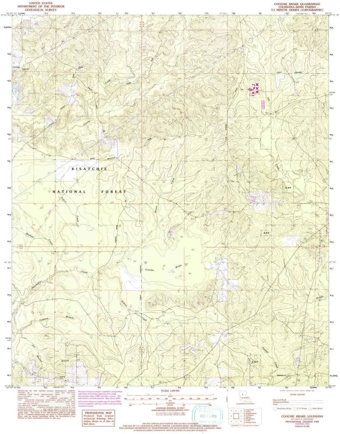
Coochie Brake LA topo map, 1:24000 Scale, 7.5 X 7.5 Minute, Historical, 1983, 26.9 x 21.9 in

Coochie Brake LA topo map, 1:24000 Scale, 7.5 X 7.5 Minute, Historical, 1983, 26.9 x 21.9 in

$ 45.00

$ 64.00

Save: $

Color:
  • Polypropylene
  • Regular Paper
  • Tyvek
Unavailable
Please select combo product attributes
The combo subtotal is $,SAVE$

Product Details

  • Printed on Polypropylene (plastic)
  • USGS topographic map of Coochie Brake, LA, at 1:24000 scale. Heavier material. Waterproof. Tear-resistant. Foldable. Perfect for the outdoors.
  • Cities, towns, villages: Couley
  • Islands: Consult topo map preview for visible islands.
  • Parks and forests: National Parks, National Forests, etc. Please preview map image for specifics.


USGS topographic map of Coochie Brake, Louisiana, dated 1983.

Includes geographic coordinates (latitude and longitude), lines of elevation, bodies of water, roads, and more. This topo quad is suitable for recreational, outdoor uses, office applications, or wall map framing.

Printed on-demand by YellowMaps on the print material of your choice.

Shipping rolled from Minneapolis, MN, United States.

Product Number: USGS-5588964
Map Size: 26.9 inches high x 21.9 inches wide
Map Scale: 1:24000
Map Type: POD USGS Topographic Map
Map Series: HTMC
Map Version: Historical
Cell ID: 9930
Scan ID: 331745
Woodland Tint: Yes
Photo Revision Year: 1993
Aerial Photo Year: 1990
Edit Year: 1993
Field Check Year: 1980
Datum: NAD27
Map Projection: Lambert Conformal Conic
Provisional map: Yes
Map published by United States Geological Survey
Map Language: English
Scanner Resolution: 600 dpi
Map Cell Name: Coochie Brake
Grid size: 7.5 X 7.5 Minute
Date on map: 1983
Geographical region: Louisiana, United States
Northern map edge Latitude: 31.875°
Southern map edge Latitude: 31.75°
Western map edge Longitude: -92.875°
Eastern map edge Longitude: -92.75°

Surrounding map sheets (copy & paste the Product No. in the search bar):
North: USGS-5588656,USGS-5588654,USGS-5592638
East: USGS-5595006,USGS-5595014,USGS-5595010,USGS-5595008,USGS-5588114
South: USGS-5592226,USGS-5593400
West: USGS-5592000,USGS-5591746,USGS-5591998,USGS-5592644

You May Also Like

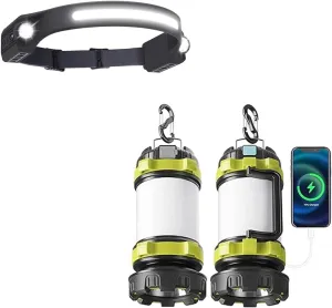
AlpsWolf LED Headlamp Rechargeable with 2 Pack Camping Lantern Rechargeable

$ 24.00

$ 35.00

Save: $

KEFITEVD Men's Tactical Fleece Jackets Full Zip Casual Outdoor Winter Warm Jacket Multi Pockets

$ 46.00

Save: $

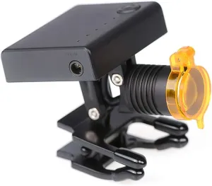
US 3W Light LED Headlamp with Optical Filter,Universal Clip Compatible with All Loupes and Safety Glasses DY-010

$ 21.00

$ 26.00

Save: $

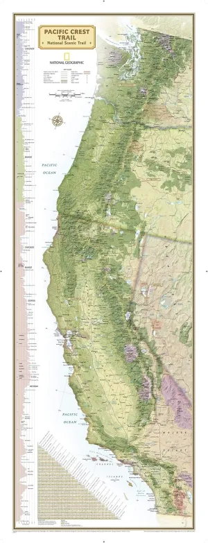
National Geographic Pacific Crest Trail Wall Map Wall Map - Laminated (18 x 48 in) (National Geographic Reference Map) Map – August 15, 2024

$ 22.00

$ 28.00

Save: $

Outdoor Headlamp-Headlamp Flashlight,Super Bright Mode Zoomable Headlight Head Lamp,Waterproof Hands-Free Taclight Headlamp

$ 104.00

$ 260.00

Save: $

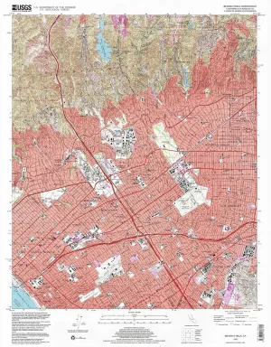
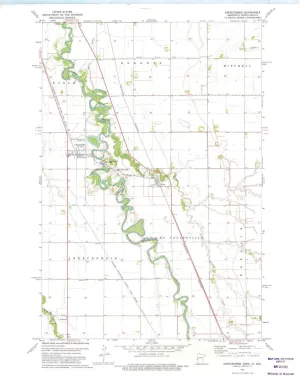
Beverly Hills CA topo map, 1:24000 Scale, 7.5 X 7.5 Minute, Historical, 1995, Updated 1999, 26.9 x 21.5 in

$ 45.00

$ 64.00

Save: $

NATUREHIKE FOLDABLE UMBRELLA

$ 33.35

Save: $

Abercrombie ND topo map, 1:24000 Scale, 7.5 X 7.5 Minute, Historical, 1973, Updated 1975, 27.23 x 21.53 in

$ 45.00

$ 64.00

Save: $

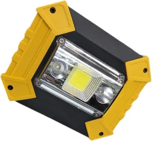
Battery Led Light Cob Spotlight Usb Charging Handheld Work for Camping Outdoor

$ 16.00

$ 19.00

Save: $

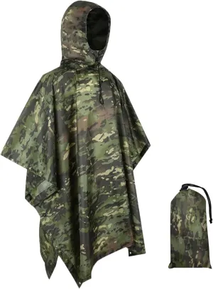
WINWAY Military Style Poncho Multi Use Rip-Stop Camouflage Raincoat

$ 19.00

$ 23.00

Save: $

Cart
Cooking Essentials&Outdoor Tools|Foldable Shovels,Windproof Stoves&Headlamps
Your cart is currently empty.