Cooking Essentials&Outdoor Tools|Foldable Shovels,Windproof Stoves&Headlamps
Cooking Essentials&Outdoor Tools|Foldable Shovels,Windproof Stoves&Headlamps Cooking Essentials&Outdoor Tools|Foldable Shovels,Windproof Stoves&Headlamps
Home Navigation Gear Laminated Hiking Map
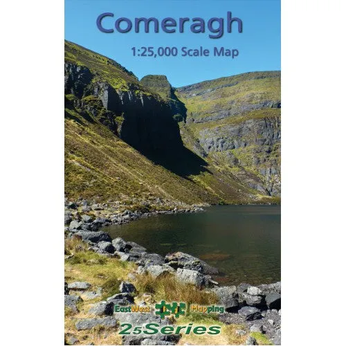
Comeragh Map

Comeragh Map

$ 17.95

$ 0.00

Save: $

Type:
  • Paper
  • Laminated
Unavailable
Please select combo product attributes
The combo subtotal is $,SAVE$

Product Details

Laminated

Definitive detailed map at 1:25,000 scale covering from Clonmel to The Pike and Mahon Bridge to Fourmilewater. Covers the Comeragh Mountains, River Suir and hinterland. Produced to our 25Series standard, this general topographic map has a 5 metre contour interval for fine navigation. Signposted walking trails and greenways are depicted. We have conducted considerable research into local sites & placenames and much information is recorded on a map here for the first time. Printed on good quality Progeo 90gsm map paper. The map sheet measures 1125mm x 820mm, covering 550 sq kilometres and is folded down to 125mm x 205mm. Read care instructions in FAQ. Click on thumbnail images above to view sample detail and map coverage.

This map is fully encapsulated/ laminated for durability and weatherproofing.

You May Also Like

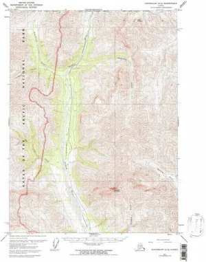
Bering Glacier D 4 AK topo map, 1:63360 Scale, 15 X 15 Minute, Historical, 1984, Updated 1984, 21.6 x 18 in

$ 52.00

$ 74.00

Save: $

Gordon WI topo map, 1:24000 Scale, 7.5 X 7.5 Minute, Historical, 1982, Updated 1982, 27.18 x 21.46 in

$ 48.00

$ 69.00

Save: $

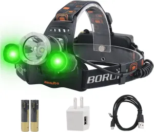
BORUIT RJ-3000 LED Green Headlamp,3 Modes White and Green LED Hunting Headlight,Super Bright USB Rechargeable Tactical Head lamp for Fishing Running Camping Hiking

$ 22.00

$ 31.00

Save: $

Chandalar D 6 AK topo map, 1:63360 Scale, 15 X 15 Minute, Historical, 1971, Updated 1997, 21.6 x 18 in

$ 52.00

$ 74.00

Save: $

SUPVOX Lanyard Slider Compass (Mixed Colors) Portable Camping Compass Carabiner Compass Small Compasses Compact

$ 14.00

$ 17.00

Save: $

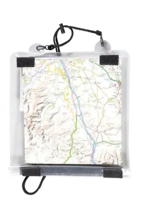
Trekmates Map Case
Trekmates Map Case

$ 15.00

Save: $

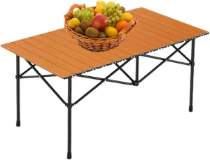
Folding Camping Table, Portable Picnic Table with Carry Bag, Lightweight Aluminum Roll-Up Design for Camping, Backpacking, Beach, BBQ, and Outdoor Parties Wood Color 95×55×50cm/37×21×19.7in

$ 47.00

$ 67.00

Save: $

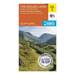
OS Explorer Laminated / English Lakes NE

$ 15.29

Save: $

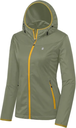
Little Donkey Andy Women's Lightweight Hooded Softshell Jacket for Running Travel Hiking, Windproof, Water Repellent

$ 33.00

$ 47.00

Save: $

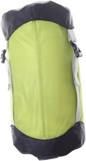
Sleeping Bag Compression Bag Tent Accessory Camping Gear Adult Size Water-Resistant Compact Storage for Hiking

$ 15.00

$ 18.00

Save: $

Cart
Cooking Essentials&Outdoor Tools|Foldable Shovels,Windproof Stoves&Headlamps
Your cart is currently empty.