Cooking Essentials&Outdoor Tools|Foldable Shovels,Windproof Stoves&Headlamps
Cooking Essentials&Outdoor Tools|Foldable Shovels,Windproof Stoves&Headlamps Cooking Essentials&Outdoor Tools|Foldable Shovels,Windproof Stoves&Headlamps
Home Navigation Gear Waterproof Hiking Map
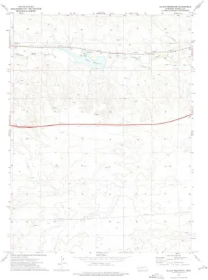
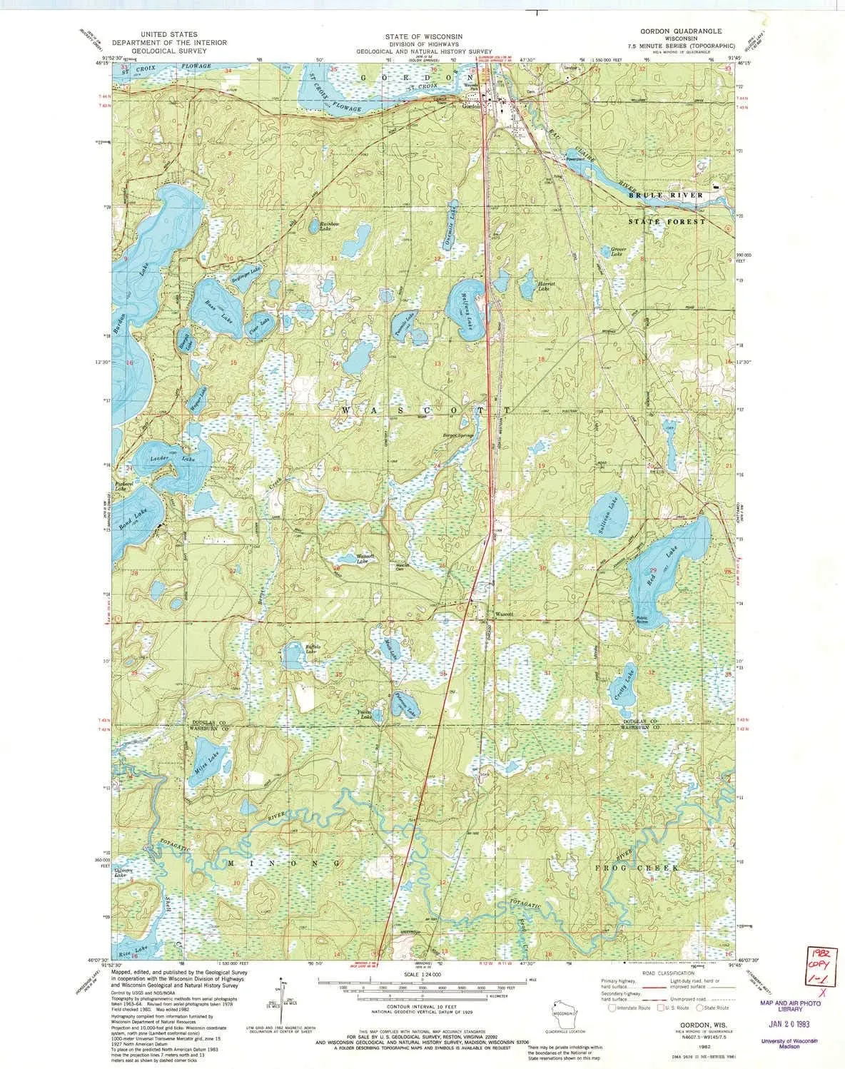
Gordon WI topo map, 1:24000 Scale, 7.5 X 7.5 Minute, Historical, 1982, Updated 1982, 27.18 x 21.46 in

Gordon WI topo map, 1:24000 Scale, 7.5 X 7.5 Minute, Historical, 1982, Updated 1982, 27.18 x 21.46 in

$ 48.00

$ 69.00

Save: $

Color:
  • Polypropylene
  • Regular Paper
  • Tyvek
Unavailable
Please select combo product attributes
The combo subtotal is $,SAVE$

Product Details

  • Printed on Tyvek® (synthetic)
  • USGS topographic map of Gordon, WI, at 1:24000 scale. Lighter material. Waterproof. Tear-resistant. Foldable. Very durable. Perfect for backpacking and the outdoors.
  • Cities, towns, villages: Gordon,Wascott
  • Mountains: High elevation topographical features like high summits and peaks.
  • Valleys: Low elevation topographic features such as flatlands, river valleys, and canyons.


USGS topographic map of Gordon, Wisconsin, dated 1982, updated 1982.

Includes geographic coordinates (latitude and longitude), lines of elevation, bodies of water, roads, and more. This topo quad is suitable for recreational, outdoor uses, office applications, or wall map framing.

Printed on-demand by YellowMaps on the print material of your choice.

Shipping rolled from Minneapolis, MN, United States.

Product Number: USGS-5998186
Map Size: 27.18 inches high x 21.46 inches wide
Map Scale: 1:24000
Map Type: POD USGS Topographic Map
Map Series: HTMC
Map Version: Historical
Cell ID: 17779
Scan ID: 500505
Imprint Year: 1982
Woodland Tint: Yes
Aerial Photo Year: 1978
Edit Year: 1982
Field Check Year: 1980
Datum: NAD27
Map Projection: Lambert Conformal Conic
Map published by United States Geological Survey
Map Language: English
Scanner Resolution: 508 dpi
Map Cell Name: Gordon
Grid size: 7.5 X 7.5 Minute
Date on map: 1982
Geographical region: Wisconsin, United States
Northern map edge Latitude: 46.25°
Southern map edge Latitude: 46.125°
Western map edge Longitude: -91.875°
Eastern map edge Longitude: -91.75°

Surrounding map sheets (copy & paste the Product No. in the search bar):
North: USGS-6000444
East: USGS-5997494
South: USGS-5999338
West: USGS-5999336

You May Also Like

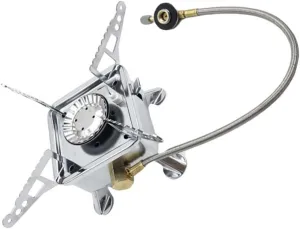
Portable Camping Stove Lightweight Outdoor Gas Burner Compact Design for Hiking and Outdoor Cooking Durable and Material for Camping and Backyard

$ 22.00

$ 31.00

Save: $

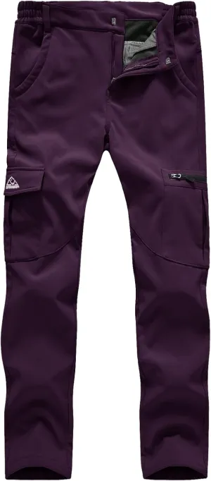
TBMPOY Women's Hiking Cargo Pants Outdoor Waterproof Windproof Softshell Fleece Snow Pants

$ 30.00

$ 43.00

Save: $

Casa Grande AZ topo map, 1:62500 Scale, 15 X 15 Minute, Historical, 1922, Updated 1956, 20.6 x 16.9 in

$ 45.00

$ 64.00

Save: $

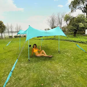
Red Suricata Premium Multi-Terrain Beach Tent & Beach Canopy in Backpack, UPF50 Sun Beach Shade, Pop Up Camping & Picnic Sunshade with 4 Poles, 4 Pole Anchors & 4 Tent Screws, Sun Shelter (Lrg Turq)

$ 86.00

$ 215.00

Save: $

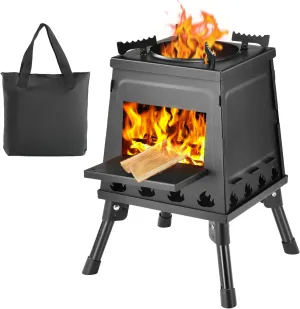
Wood Burning Stove, Camping Wood Stove, Small Portable Cast Iron Wood Stove: Compact Outdoor Cooking Solution with Carrying Bag (Small)

$ 28.00

$ 40.00

Save: $

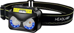
LED Rechargeable Headlamp, Waterproof Flashlight Motion Sensor Control Head lamp, USB Headlight for Running, Camping, Hiking and More

$ 89.00

$ 224.00

Save: $

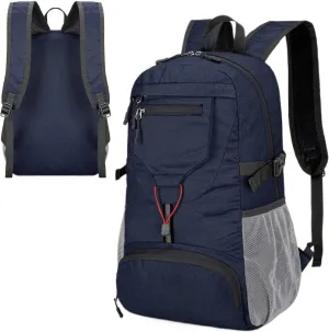
Hiking Backpack Waterproof - Lightweight Breathable Trekking Daypack | Hiking Daypack | Durable Outdoor Travel Day Bag Waterproof Travel Bag Reflective Stripes For Women Men | Small Compact

$ 23.00

$ 32.00

Save: $

Oliver Reservoir NE topo map, 1:24000 Scale, 7.5 X 7.5 Minute, Historical, 1972, Updated 1975, 27 x 22 in

$ 45.00

$ 64.00

Save: $

Outdoor Ventures Men's Windproof Softshell Vest Outerwear Lightweight Sleeveless Jacket for Running Golf Hiking Travel

$ 31.00

$ 44.00

Save: $

Kylebooker Fishing Backpack with Rod Holders Water-resistant Tackle Bag Fishing Gear Storage Pack

$ 16.00

$ 20.00

Save: $

Cart
Cooking Essentials&Outdoor Tools|Foldable Shovels,Windproof Stoves&Headlamps
Your cart is currently empty.