Cooking Essentials&Outdoor Tools|Foldable Shovels,Windproof Stoves&Headlamps
Cooking Essentials&Outdoor Tools|Foldable Shovels,Windproof Stoves&Headlamps Cooking Essentials&Outdoor Tools|Foldable Shovels,Windproof Stoves&Headlamps
Home Navigation Gear Waterproof Hiking Map
Burmester UT topo map, 1:24000 Scale, 7.5 X 7.5 Minute, Historical, 1972, Updated 1974, 26.7 x 21.9 in

Burmester UT topo map, 1:24000 Scale, 7.5 X 7.5 Minute, Historical, 1972, Updated 1974, 26.7 x 21.9 in

$ 54.00

$ 77.00

Save: $

Color:
  • Polypropylene
  • Regular Paper
  • Tyvek
Unavailable
Please select combo product attributes
The combo subtotal is $,SAVE$

Product Details

  • Printed on Tyvek® (synthetic)
  • USGS topographic map of Burmester, UT, at 1:24000 scale. Lighter material. Waterproof. Tear-resistant. Foldable. Very durable. Perfect for backpacking and the outdoors.
  • Cities, towns, villages: Burmester
  • Mountains: Coyote Knolls
  • Valleys: Dead Man Gulch


USGS topographic map of Burmester, Utah, dated 1972, updated 1974.

Includes geographic coordinates (latitude and longitude), lines of elevation, bodies of water, roads, and more. This topo quad is suitable for recreational, outdoor uses, office applications, or wall map framing.

Printed on-demand by YellowMaps on the print material of your choice.

Shipping rolled from Minneapolis, MN, United States.

Product Number: USGS-5455979
Map Size: 26.7 inches high x 21.9 inches wide
Map Scale: 1:24000
Map Type: POD USGS Topographic Map
Map Series: HTMC
Map Version: Historical
Cell ID: 6286
Scan ID: 248364
Imprint Year: 1974
Woodland Tint: Yes
Aerial Photo Year: 1971
Field Check Year: 1972
Survey Year: 1955
Datum: NAD27
Map Projection: Lambert Conformal Conic
Orthophoto: Map
Map published by United States Geological Survey
Map Language: English
Scanner Resolution: 600 dpi
Map Cell Name: Burmester
Grid size: 7.5 X 7.5 Minute
Date on map: 1972
Geographical region: Utah, United States
Northern map edge Latitude: 40.75°
Southern map edge Latitude: 40.625°
Western map edge Longitude: -112.5°
Eastern map edge Longitude: -112.375°

Surrounding map sheets (copy & paste the Product No. in the search bar):
North: USGS-5460067
East: USGS-5459035,USGS-5459031,USGS-5459033
South: USGS-5457677,USGS-5457679
West: USGS-5457379

You May Also Like

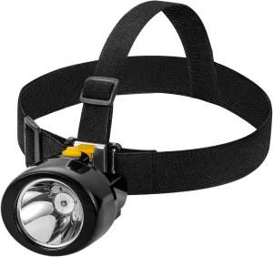
Coon Hunting Lights Waterproof Mining Light Explosion Proof Miners Headlamp Rechargeable Headlight Flashlight for Mining Coal Night Fishing Hunting Camping(Yellow)

$ 30.00

$ 43.00

Save: $

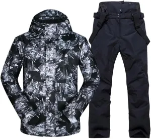
RIUIYELE Men Ski Jacket Ski Pants Winter Warm Windproof Waterproof Outdoor Sports Snowboarding Ski Coat Trousers Ski Suit

$ 72.00

$ 160.00

Save: $

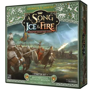
Brotherhood Without Banners: Starter Set

$ 104.00

Save: $

Women’s Rain Suit Waterproof Hiking Pants Windproof Rain Jacket Raincoat with Hook Pocket

$ 28.00

$ 40.00

Save: $

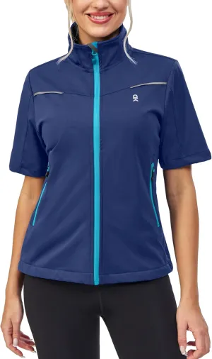
Little Donkey Andy Women's Short Sleeve Jacket Windproof Lightweight Vest for Golf Hiking Running

$ 33.00

$ 47.00

Save: $

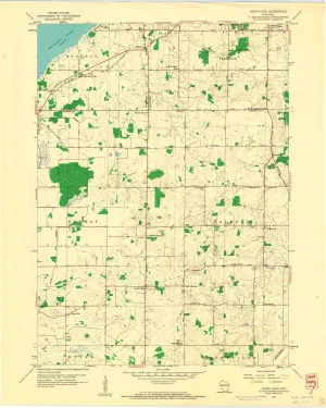
North Cape WI topo map, 1:24000 Scale, 7.5 X 7.5 Minute, Historical, 1959, Updated 1960, 27.26 x 21.76 in

$ 45.00

$ 64.00

Save: $

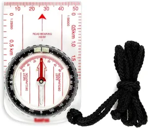
Orienteering Cross-country Ruler Pointing to The North Needle, Measuring Length, Measuring Distance, Map Positioning, Basic Positioning

$ 77.00

$ 141.00

Save: $

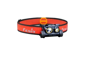
Fenix HM65R-T Trail Running LED Headlamp - 1500 Lumens

$ 104.95

Save: $

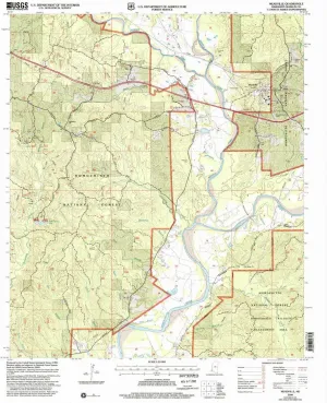
Meadville MS topo map, 1:24000 Scale, 7.5 X 7.5 Minute, Historical, 2000, Updated 2002, 26.8 x 21.9 in

$ 49.00

$ 82.00

Save: $

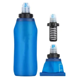
2L Outdoor Water Filter Bottle Water Filtration Bottle Purifier for Camping

$ 53.00

$ 76.00

Save: $

Cart
Cooking Essentials&Outdoor Tools|Foldable Shovels,Windproof Stoves&Headlamps
Your cart is currently empty.