Cooking Essentials&Outdoor Tools|Foldable Shovels,Windproof Stoves&Headlamps
Cooking Essentials&Outdoor Tools|Foldable Shovels,Windproof Stoves&Headlamps Cooking Essentials&Outdoor Tools|Foldable Shovels,Windproof Stoves&Headlamps
Home Navigation Gear Waterproof Hiking Map
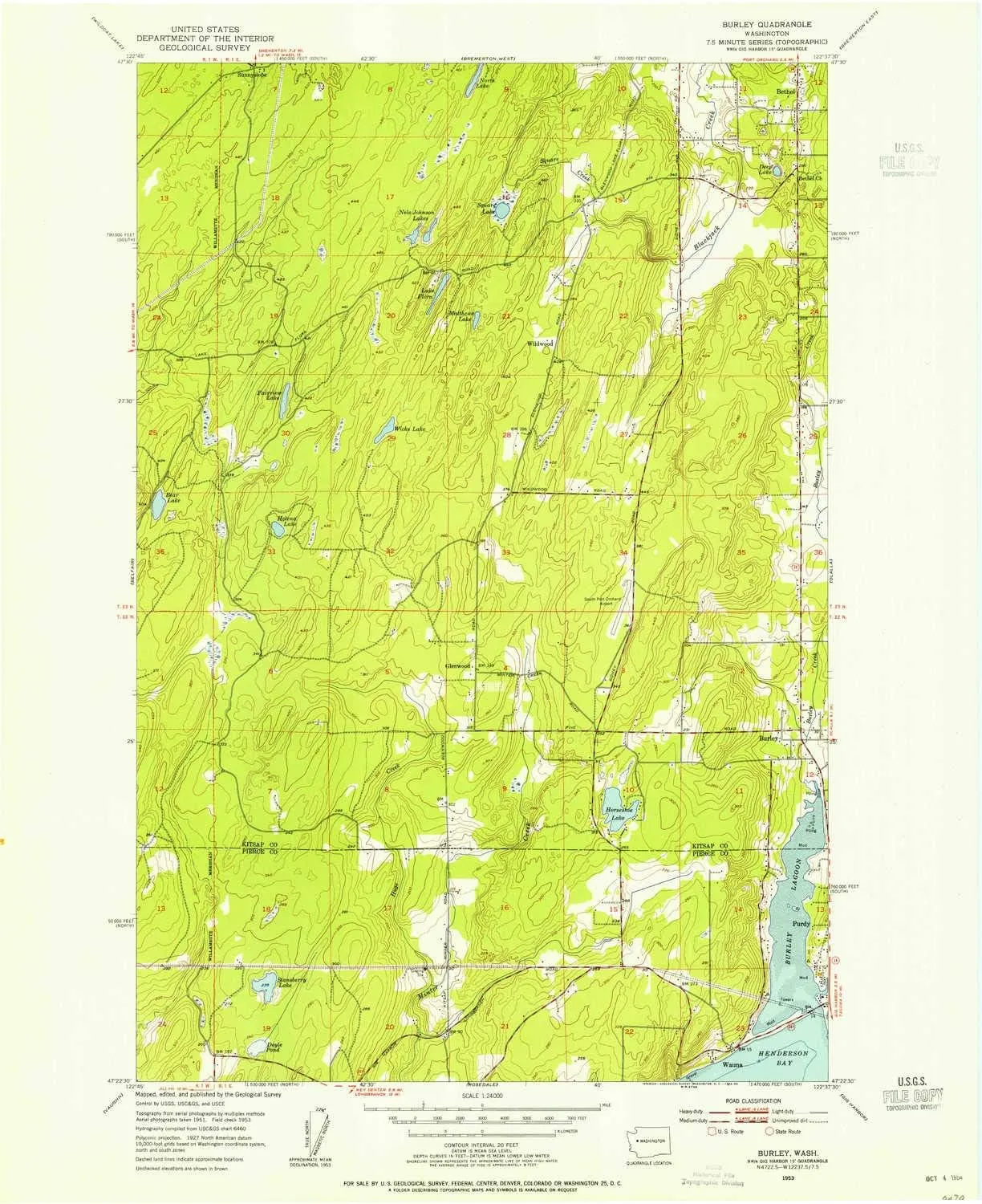
Burley WA topo map, 1:24000 Scale, 7.5 X 7.5 Minute, Historical, 1953, Updated 1954, 26.9 x 22 in

Burley WA topo map, 1:24000 Scale, 7.5 X 7.5 Minute, Historical, 1953, Updated 1954, 26.9 x 22 in

$ 31.00

$ 44.00

Save: $

Color:
  • Polypropylene
  • Regular Paper
  • Tyvek
Unavailable
Please select combo product attributes
The combo subtotal is $,SAVE$

Product Details

  • Printed on Polypropylene (plastic)
  • USGS topographic map of Burley, WA, at 1:24000 scale. Heavier material. Waterproof. Tear-resistant. Foldable. Perfect for the outdoors.
  • Cities, towns, villages: Wauna,Bethel,Burley,Purdy,Wildwood,Glenwood
  • Islands: Consult topo map preview for visible islands.
  • Parks and forests: National Parks, National Forests, etc. Please preview map image for specifics.


USGS topographic map of Burley, Washington, dated 1953, updated 1954.

Includes geographic coordinates (latitude and longitude), lines of elevation, bodies of water, roads, and more. This topo quad is suitable for recreational, outdoor uses, office applications, or wall map framing.

Printed on-demand by YellowMaps on the print material of your choice.

Shipping rolled from Minneapolis, MN, United States.

Product Number: USGS-5403052
Map Size: 26.9 inches high x 22 inches wide
Map Scale: 1:24000
Map Type: POD USGS Topographic Map
Map Series: HTMC
Map Version: Historical
Cell ID: 6255
Scan ID: 240276
Imprint Year: 1954
Woodland Tint: Yes
Aerial Photo Year: 1951
Field Check Year: 1953
Datum: NAD27
Map Projection: Polyconic
Map published by United States Geological Survey
Map Language: English
Scanner Resolution: 600 dpi
Map Cell Name: Burley
Grid size: 7.5 X 7.5 Minute
Date on map: 1953
Geographical region: Washington, United States
Northern map edge Latitude: 47.5°
Southern map edge Latitude: 47.375°
Western map edge Longitude: -122.75°
Eastern map edge Longitude: -122.625°

Surrounding map sheets (copy & paste the Product No. in the search bar):
North: USGS-5402958,USGS-5402954,USGS-5402956,USGS-5402950,USGS-5680109
East: USGS-5407018,USGS-5407014,USGS-5407016,USGS-5407010,USGS-5407012
South: USGS-5408542,USGS-5404308,USGS-5404312,USGS-5404306,USGS-5404314
West: USGS-5402666,USGS-5402672,USGS-5402664,USGS-5402668,USGS-5402670

You May Also Like

Yardwe 2pcs Portable Burning Stove Foldable Camping Stove for Easy Setup Lightweight Cast Design for Outdoor Cooking Hiking and Picnics

$ 23.00

$ 33.00

Save: $

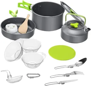
Camping Cookware Kit Stove Portable Cooking Kits for Outdoor Cooking Utensil Sets

$ 30.00

$ 43.00

Save: $

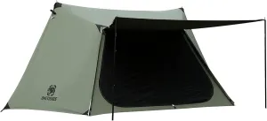
OneTigris Solo Homestead TC Canvas Hot Tent with Stove Jack, Fire-Retardant Wind-Proof Durable, 2 Person 4 Season Bushcraft Shelter Tent for Family Camping Hunting Fishing Motorcycling

$ 105.00

$ 263.00

Save: $

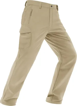
MAGCOMSEN Men's Winter Pants Water Resistant Fleece Lined Snowboard Ski Pants Softshell Tactical Pants with Multi-Pockets

$ 29.00

$ 42.00

Save: $

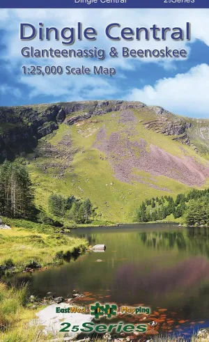
Dingle Central Map
Dingle Central Map

$ 26.95

Save: $

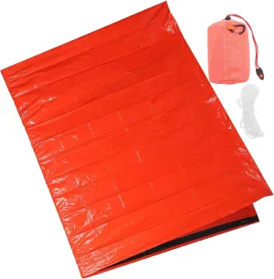
VANZACK Portable Emergency Blanket Multi-use Survival Tent for Outdoor Camping Hiking Emergency Shelter Thermal Insulation

$ 16.00

$ 20.00

Save: $

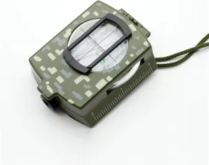
Compass Survival Hiking Outdoor Camping Equipment Geological Compass Compact Bicycle Cross-Country Hiking Camping

$ 86.00

$ 214.00

Save: $

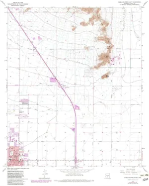
Casa Grande East AZ topo map, 1:24000 Scale, 7.5 X 7.5 Minute, Historical, 1965, Updated 1983, 26.7 x 22 in

$ 45.00

$ 64.00

Save: $

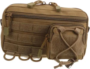
Lightweight Medical Supply Pouch for Hiking Camping and Outdoor Survival Quick Access and Modular Storage for Emergency Preparedness

$ 13.00

$ 16.00

Save: $

Contemporary USA 24" x 36" Laminated Wall Map

$ 21.99

Save: $

Cart
Cooking Essentials&Outdoor Tools|Foldable Shovels,Windproof Stoves&Headlamps
Your cart is currently empty.