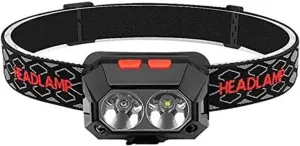
Cooking Essentials&Outdoor Tools|Foldable Shovels,Windproof Stoves&Headlamps
Cooking Essentials&Outdoor Tools|Foldable Shovels,Windproof Stoves&Headlamps Cooking Essentials&Outdoor Tools|Foldable Shovels,Windproof Stoves&Headlamps
Home Navigation Gear Waterproof Hiking Map
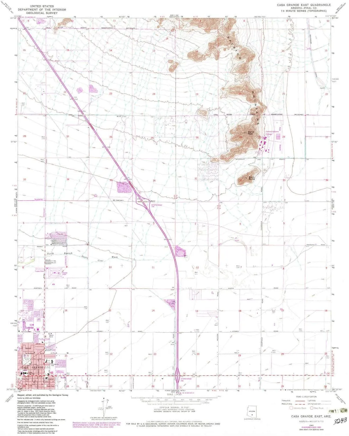
Casa Grande East AZ topo map, 1:24000 Scale, 7.5 X 7.5 Minute, Historical, 1965, Updated 1983, 26.7 x 22 in

Casa Grande East AZ topo map, 1:24000 Scale, 7.5 X 7.5 Minute, Historical, 1965, Updated 1983, 26.7 x 22 in

$ 45.00

$ 64.00

Save: $

Color:
  • Polypropylene
  • Regular Paper
  • Tyvek
Unavailable
Please select combo product attributes
The combo subtotal is $,SAVE$

Product Details

  • Printed on Polypropylene (plastic)
  • USGS topographic map of Casa Grande East, AZ, at 1:24000 scale. Heavier material. Waterproof. Tear-resistant. Foldable. Perfect for the outdoors.
  • Cities, towns, villages: Please see map preview to find populated places, townships, as well as roads and street names if available.
  • Islands: Consult topo map preview for visible islands.
  • Parks and forests: Burris Park,East Park,Rancho Grande Park,Oniel Park,Elliott Park


USGS topographic map of Casa Grande East, Arizona, dated 1965, updated 1983.

Includes geographic coordinates (latitude and longitude), lines of elevation, bodies of water, roads, and more. This topo quad is suitable for recreational, outdoor uses, office applications, or wall map framing.

Printed on-demand by YellowMaps on the print material of your choice.

Shipping rolled from Minneapolis, MN, United States.

Product Number: USGS-5550724
Map Size: 26.7 inches high x 22 inches wide
Map Scale: 1:24000
Map Type: POD USGS Topographic Map
Map Series: HTMC
Map Version: Historical
Cell ID: 7487
Scan ID: 310744
Imprint Year: 1983
Photo Revision Year: 1982
Aerial Photo Year: 1978
Edit Year: 1982
Survey Year: 1965
Datum: NAD27
Map Projection: Polyconic
Map published by United States Geological Survey
Map Language: English
Scanner Resolution: 600 dpi
Map Cell Name: Casa Grande East
Grid size: 7.5 X 7.5 Minute
Date on map: 1965
Geographical region: Arizona, United States
Northern map edge Latitude: 33°
Southern map edge Latitude: 32.875°
Western map edge Longitude: -111.75°
Eastern map edge Longitude: -111.625°

Surrounding map sheets (copy & paste the Product No. in the search bar):
North: USGS-5548620,USGS-5548622,USGS-5555532,USGS-5555534,USGS-5555530
East: USGS-5551178,USGS-5551182,USGS-5551176,USGS-5551180,USGS-5551174
South: USGS-5550728,USGS-5550734,USGS-5550730,USGS-5550732
West: USGS-5550738,USGS-5550742,USGS-5550736,USGS-5550740

You May Also Like

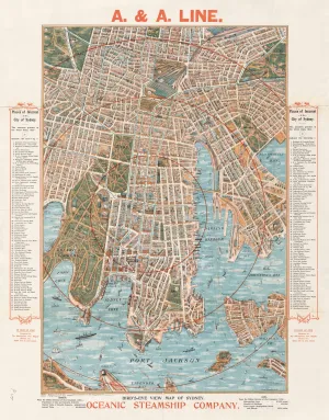
Oceanic Steamship Wall Map of Sydney (Port Jackson) published 1905

$ 69.95

Save: $

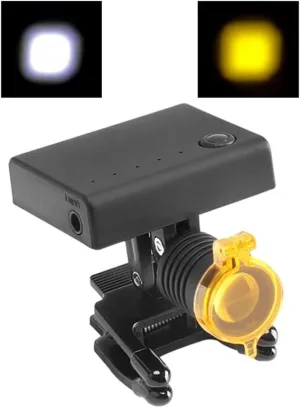
High Brightness Led Headlight with Optical Filter 3w LED Loupe Head Light Headlamp with Yellow Filter Eyewear Binoculars Glasses Medical Spectacle Frame

$ 36.00

$ 51.00

Save: $

Home Comforts Construction of Lombron Airfield (A-37), France, 1944-20 Inch By 30 Inch Laminated Poster With Bright Colors And Vivid Imagery-Fits Perfectly In Many Attractive Frames

$ 13.00

$ 16.00

Save: $

Vintage Lighter Retro Trench Rattler Rope Velvet Metal Outdoor Camping Igniter Portable Mechanical Tinder Flint No Kerosene for Men(#fedb88)

$ 20.00

$ 24.00

Save: $

Askdeer Men's Quarter Zip Sweatshirt Polar Fleece Mock Neck Thick Thermal Sweatshirt Winter Warm Pullover Sweater

$ 24.00

$ 34.00

Save: $

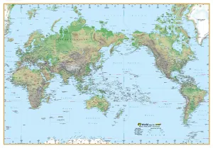
World Physical Supermap UBD 1480 x 1040mm Laminated

$ 365.00

Save: $

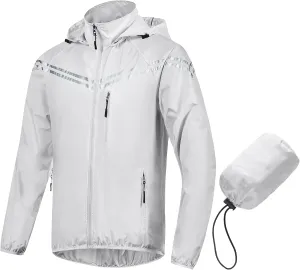
CREATMO US Men's Packable Waterproof Running Rain Coats Reflective Cycling Jacket Windbreaker With Removable Hood

$ 32.00

$ 46.00

Save: $

Headlamp Rechargeable, 1100 Lumen Super Bright Motion Sensor Head Lamp Flashlight, Waterproof LED Headlight with White Red Light, 4 Modes Head Lights for Camping Cycling Running Fishing

$ 149.00

Save: $

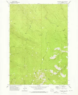
Deardorff MTN OR topo map, 1:24000 Scale, 7.5 X 7.5 Minute, Historical, 1972, Updated 1976, 26.9 x 21.9 in

$ 48.00

$ 69.00

Save: $

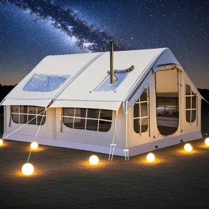
Blow Up Tents 6-8 Man Inflatable Camping Tent,10㎡ Large Glamping Tent with Stove Hole,Easy Setup Large Family Air Tents 4 Season 3000mm Waterproof Pop-Up Pump Up House,Quick to Set Up

$ 875.00

$ 2500.00

Save: $

Cart
Cooking Essentials&Outdoor Tools|Foldable Shovels,Windproof Stoves&Headlamps
Your cart is currently empty.