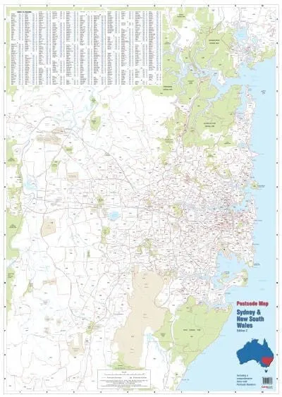
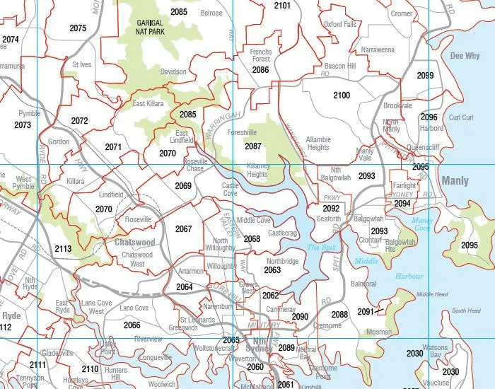
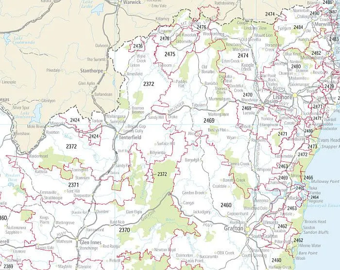
This postcode map of Sydney, by Cartodraft, clearly shows postcode boundaries and postcode numbers. This is the only map that shows postcodes and postcode boundaries at the state level.
The map is comprehensively indexed with an easy-to-read list of town names and their postcodes.
Featuring a durable "write and wipe" surface, the lamination allows you to place Mark-It-Dots to highlight locations of interest.
This postcode map is the perfect planning tool for any business.
Size 788 mm (w) x 1110 mm (h)
Made in Australia


")


