Cooking Essentials&Outdoor Tools|Foldable Shovels,Windproof Stoves&Headlamps
Cooking Essentials&Outdoor Tools|Foldable Shovels,Windproof Stoves&Headlamps Cooking Essentials&Outdoor Tools|Foldable Shovels,Windproof Stoves&Headlamps
Home Navigation Gear Waterproof Hiking Map
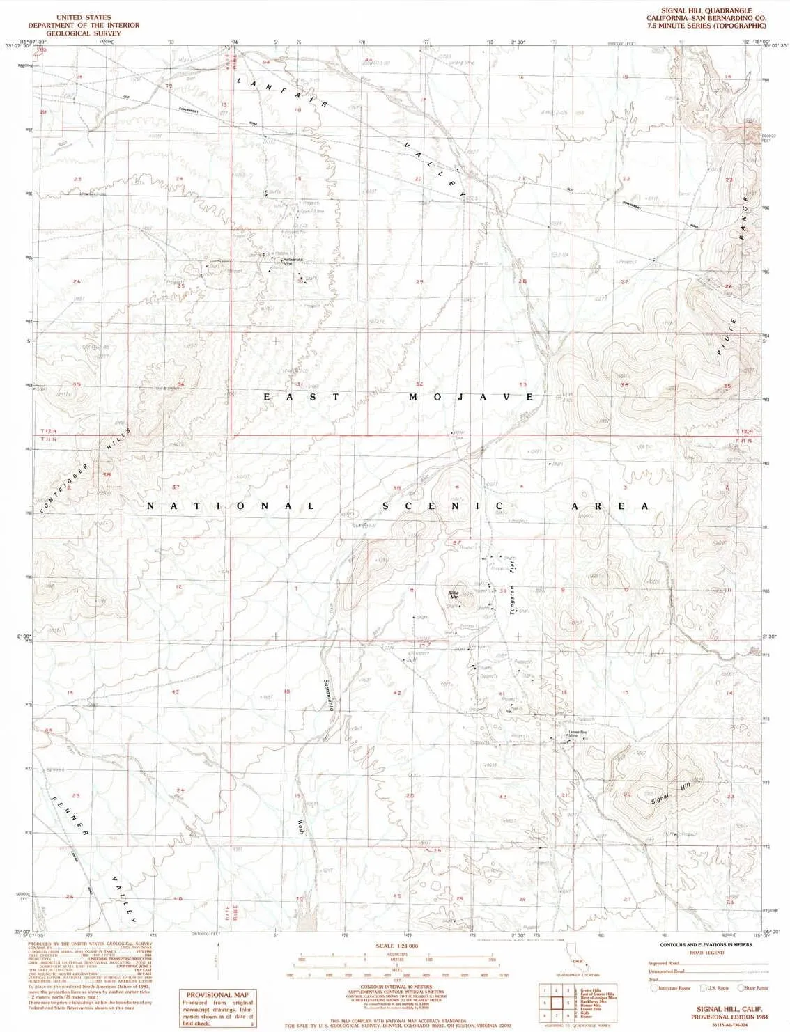
Signal Hill CA topo map, 1:24000 Scale, 7.5 X 7.5 Minute, Historical, 1984, Updated 1984, 26.8 x 22 in

Signal Hill CA topo map, 1:24000 Scale, 7.5 X 7.5 Minute, Historical, 1984, Updated 1984, 26.8 x 22 in

$ 45.00

$ 64.00

Save: $

Color:
  • Polypropylene
  • Regular Paper
  • Tyvek
Unavailable
Please select combo product attributes
The combo subtotal is $,SAVE$

Product Details

  • Printed on Polypropylene (plastic)
  • USGS topographic map of Signal Hill, CA, at 1:24000 scale. Heavier material. Waterproof. Tear-resistant. Foldable. Perfect for the outdoors.
  • Cities, towns, villages: Please see map preview to find populated places, townships, as well as roads and street names if available.
  • Islands: Consult topo map preview for visible islands.
  • Parks and forests: National Parks, National Forests, etc. Please preview map image for specifics.


USGS topographic map of Signal Hill, California, dated 1984, updated 1984.

Includes geographic coordinates (latitude and longitude), lines of elevation, bodies of water, roads, and more. This topo quad is suitable for recreational, outdoor uses, office applications, or wall map framing.

Printed on-demand by YellowMaps on the print material of your choice.

Shipping rolled from Minneapolis, MN, United States.

Product Number: USGS-5523367
Map Size: 26.8 inches high x 22 inches wide
Map Scale: 1:24000
Map Type: POD USGS Topographic Map
Map Series: HTMC
Map Version: Historical
Cell ID: 41305
Scan ID: 300485
Imprint Year: 1984
Aerial Photo Year: 1980
Edit Year: 1984
Field Check Year: 1981
Datum: NAD27
Map Projection: Universal Transverse Mercator
Map published by United States Geological Survey
Map Language: English
Scanner Resolution: 600 dpi
Map Cell Name: Signal Hill
Grid size: 7.5 X 7.5 Minute
Date on map: 1984
Geographical region: California, United States
Northern map edge Latitude: 35.125°
Southern map edge Latitude: 35°
Western map edge Longitude: -115.125°
Eastern map edge Longitude: -115°

Surrounding map sheets (copy & paste the Product No. in the search bar):
North: USGS-5513061
East: USGS-5502201,USGS-5549102,USGS-5618174,USGS-5618184,USGS-5549104
South: USGS-5514573,USGS-5514575
West: USGS-5515005,USGS-5515003

You May Also Like

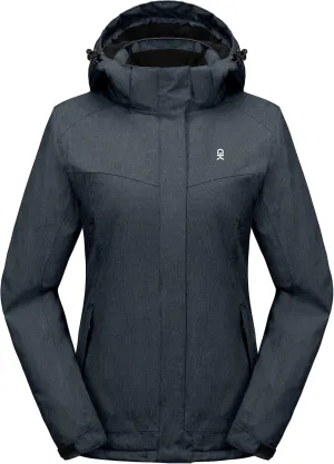
Little Donkey Andy Women's Waterproof Hiking Skiing Jacket with Removable Hood, Fleece Lined Winter Warm Rain Coat

$ 56.00

$ 80.00

Save: $

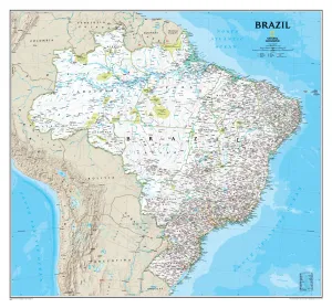
Brazil National Geographic 1040 x 965mm Wall Map

$ 79.95

Save: $

Save Save Space 10 Pack Aluminum Oxidized Windscreen for Camping Stove Compact Folding Windproof Board with Storage

$ 18.00

$ 22.00

Save: $

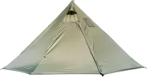
Camping Pyramid Tent for 3/4 Person - Ultralight Waterproof Camping Tent | Lightweight Pyramid Outdoor Easy Tents with Square Chimney Window for Backpacking, Hiking Accessories (Green 3)

$ 162.00

$ 463.00

Save: $

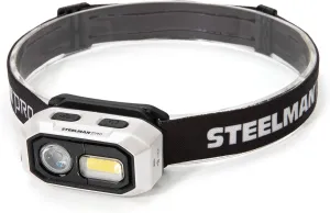
Steelman Pro 300 Lumen Hands-Free Motion-Activated LED Rechargeable Headlamp for Workshop or Outdoors, Spotlight and Area Light Modes, Removable Light, Fully Adjustable Headband

$ 24.00

$ 30.00

Save: $

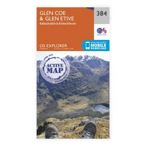
OS Explorer Laminated / Glen Coe

$ 15.29

Save: $

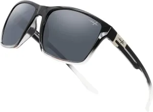
INFI Fishing Polarized Sunglasses for Men Driving Running Golf Sports Glasses Square UV Protection Designer Style Unisex

$ 25.00

$ 36.00

Save: $

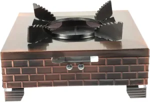
Compact Portable Outdoor Stove Easy to Use Foldable Stove for Camping Hiking and Picnics

$ 18.00

$ 23.00

Save: $

GANAZONO Small Pot Hot Pot Camping Stove Portable Grill Outdoor Gas Stove Conveninet for Hiking

$ 17.00

$ 21.00

Save: $

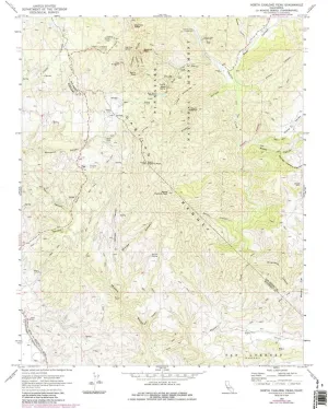
North Chalone Peak CA topo map, 1:24000 Scale, 7.5 X 7.5 Minute, Historical, 1969, Updated 1984, 26.7 x 22 in

$ 49.00

Save: $

Cart
Cooking Essentials&Outdoor Tools|Foldable Shovels,Windproof Stoves&Headlamps
Your cart is currently empty.