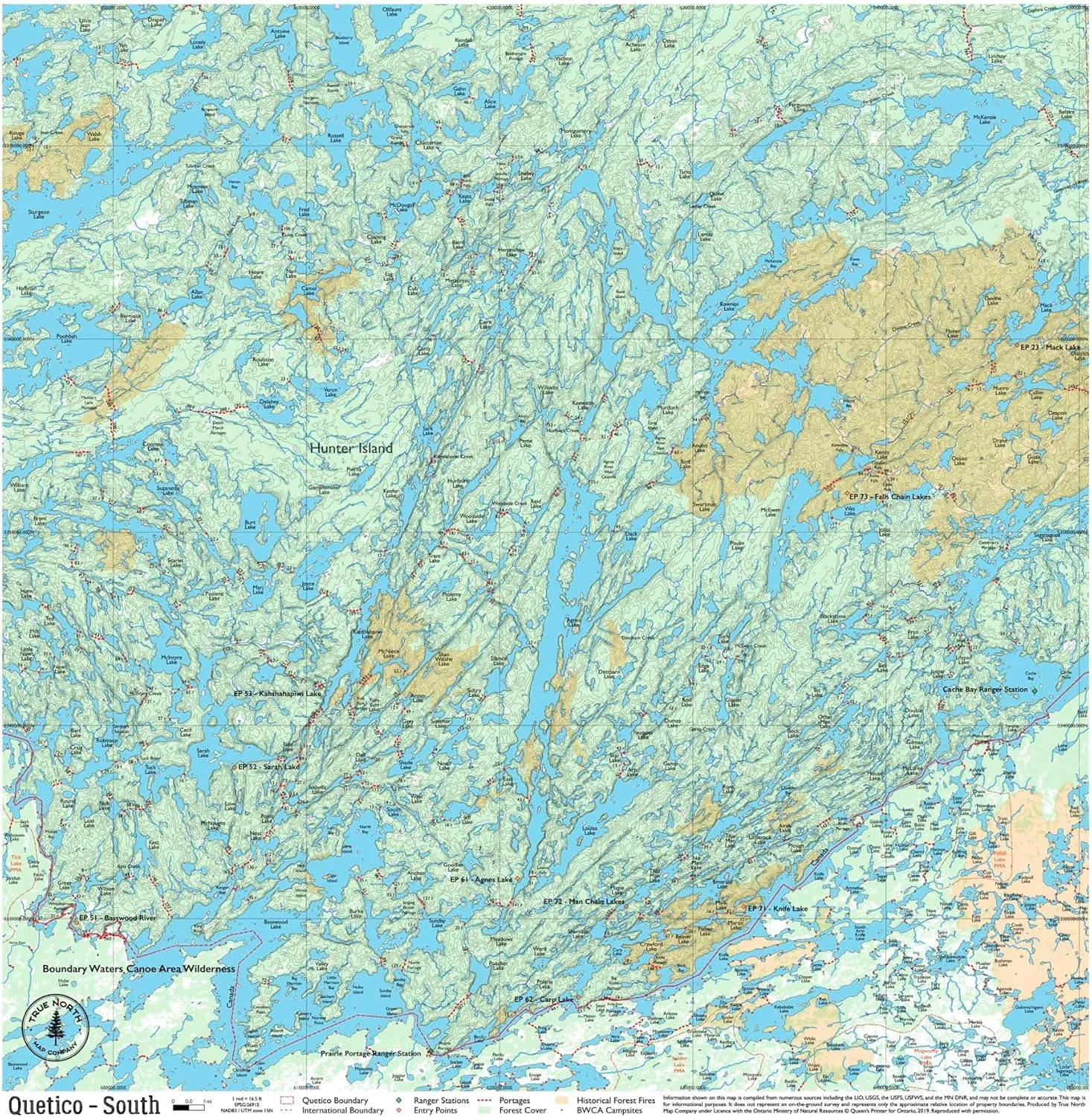
- Navigate Quetico Park with Confidence: This detailed cloth map provides topographic coverage of Quetico’s lakes, trails, and portages, making it an essential guide for canoeing, hiking, and camping in the park’s remote wilderness.
- Waterproof and Durable Material: Made from high-quality, tear-resistant cloth, this map is built to withstand the elements, including rain, wind, and rugged terrain, ensuring it remains reliable on every adventure.
- Detailed Topographic Features: Clearly marked entry points, portages, and key landmarks help you explore Quetico safely and efficiently. Perfect for planning routes and navigating the park’s challenging terrain.
- Compact and Travel-Friendly Design: The foldable map easily fits into your backpack or canoe bag, making it convenient to carry and reference during your journey. Ideal for on-the-go navigation in the backcountry.
- Please note: Quetico Maps do NOT include campsite data, as Ontario Parks formally designates there are no official campsites in Quetico Provincial Park.
| Eastern Region | Southern Region | Western Region |
")


