Cooking Essentials&Outdoor Tools|Foldable Shovels,Windproof Stoves&Headlamps
Cooking Essentials&Outdoor Tools|Foldable Shovels,Windproof Stoves&Headlamps Cooking Essentials&Outdoor Tools|Foldable Shovels,Windproof Stoves&Headlamps
Home Navigation Gear Waterproof Hiking Map
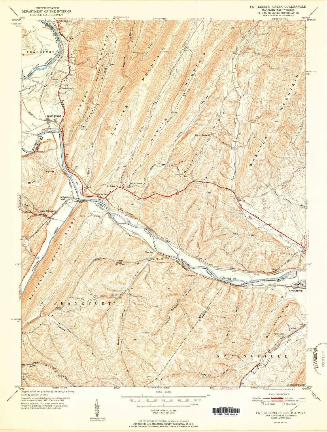
Pattersons Creek WV topo map, 1:24000 Scale, 7.5 X 7.5 Minute, Historical, 1951, 26.8 x 20.3 in

Pattersons Creek WV topo map, 1:24000 Scale, 7.5 X 7.5 Minute, Historical, 1951, 26.8 x 20.3 in

$ 45.00

$ 64.00

Save: $

Color:
  • Polypropylene
  • Regular Paper
  • Tyvek
Unavailable
Please select combo product attributes
The combo subtotal is $,SAVE$

Product Details

  • Printed on Polypropylene (plastic)
  • USGS topographic map of Pattersons Creek, WV, at 1:24000 scale. Heavier material. Waterproof. Tear-resistant. Foldable. Perfect for the outdoors.
  • Cities, towns, villages: Evitts Creek,North Branch,Millen,Spring Gap,Dans Run,Patterson Creek,Wagoner,Mexico
  • Islands: Consult topo map preview for visible islands.
  • Parks and forests: Warrior Mountain State Wildlife Management Area


USGS topographic map of Pattersons Creek, West Virginia, dated 1951.

Includes geographic coordinates (latitude and longitude), lines of elevation, bodies of water, roads, and more. This topo quad is suitable for recreational, outdoor uses, office applications, or wall map framing.

Printed on-demand by YellowMaps on the print material of your choice.

Shipping rolled from Minneapolis, MN, United States.

Product Number: USGS-5930519
Map Size: 26.8 inches high x 20.3 inches wide
Map Scale: 1:24000
Map Type: POD USGS Topographic Map
Map Series: HTMC
Map Version: Historical
Cell ID: 34421
Scan ID: 461436
Aerial Photo Year: 1947
Field Check Year: 1949
Datum: NAD27
Map Projection: Polyconic
Map published by United States Geological Survey
Map Language: English
Scanner Resolution: 600 dpi
Map Cell Name: Patterson Creek
Grid size: 7.5 X 7.5 Minute
Date on map: 1951
Geographical region: West Virginia, United States
Northern map edge Latitude: 39.625°
Southern map edge Latitude: 39.5°
Western map edge Longitude: -78.75°
Eastern map edge Longitude: -78.625°

Surrounding map sheets (copy & paste the Product No. in the search bar):
North: USGS-5366196,USGS-5930351,USGS-5366198,USGS-5366200,USGS-5366194
East: USGS-5366930,USGS-5930513,USGS-5366926,USGS-5366928,USGS-5366932
South: USGS-5415400,USGS-5415404,USGS-5415398,USGS-5414834,USGS-5415396
West: USGS-5412644,USGS-5412642,USGS-5368160,USGS-5930369,USGS-5368166

You May Also Like

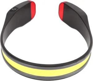
GOWENIC Rechargeable LED Headlamp, COB Wide Beam Headlight Flashlight, LED Headlamp Rechargeable, Motion Sensor Outdoor Headlight for Camping Running Cycling Fishing

$ 14.00

$ 18.00

Save: $

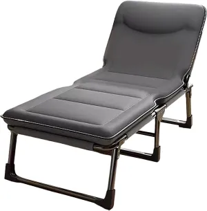
Folding Bed with Mattress for Adults 4 Speed Backrest Adjustment Camping Cot for Adults with 3D Headrest Camping Bed Spare Guest Bed(Gray B,170 * 60 * 30cm), 170 * 60 * 30CM

$ 127.00

$ 363.00

Save: $

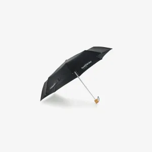
NATUREHIKE FOLDABLE UMBRELLA

$ 33.35

Save: $

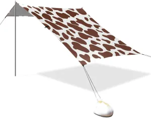
Brown Cow Print Designed UPF50 Beach Tent & Canopy Lightweight Large Sun Shade with Sturdy Poles, Sandbags and Shovel for Family Travel carpas para Playa en oferta

$ 62.00

$ 113.00

Save: $

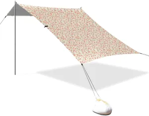
Peaches Gingham Foldable Beach Canopy UPF50 Waterproof Outdoor Sun Shade with Sandbags & Sand Shovel for Camping, Picnics, Backyard

$ 56.00

$ 101.00

Save: $

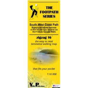
South West Coast Path Zigzag map - 15 - Bigbury-on-Sea to Torcross

$ 9.95

Save: $

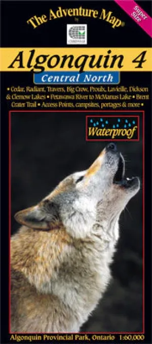
Algonquin 4 - North Central/Petawawa River Map

$ 16.99

Save: $

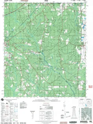
Dyas AL topo map, 1:50000 Scale, 15 X 15 Minute, Historical, 2003, 29.1 x 22.1 in

$ 52.00

$ 74.00

Save: $

CRYSULLY Men's Fleece Hoodie Jacket Winter Tactical Military Windproof Jackets Coat

$ 33.00

$ 47.00

Save: $

Hemoton Stainless Steel Ice Scoop Set, 2Pcs Multipurpose Flat Bottom Shovels for Ice Cubes, Flour, Grains, Nuts, and Candy, Lightweight and Compact for Kitchen, Bar, Restaurant, and Dessert Shop

$ 23.00

$ 29.00

Save: $

Cart
Cooking Essentials&Outdoor Tools|Foldable Shovels,Windproof Stoves&Headlamps
Your cart is currently empty.