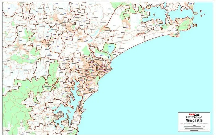
This postcode map of Newcastle by Cartodraft is a high quality laminated map, which clearly shows postcode boundaries and postcode numbers.
Featuring a durable "write and wipe" surface the lamination allows you to place Mark-It-Dots to highlight locations of interest.
This postcode map is the perfect planning tool for any business.
Size 1120mm x 722mm
Note: This is a print on demand map so please allow 10 working days for delivery.


