Cooking Essentials&Outdoor Tools|Foldable Shovels,Windproof Stoves&Headlamps
Cooking Essentials&Outdoor Tools|Foldable Shovels,Windproof Stoves&Headlamps Cooking Essentials&Outdoor Tools|Foldable Shovels,Windproof Stoves&Headlamps
Home Navigation Gear Waterproof Hiking Map
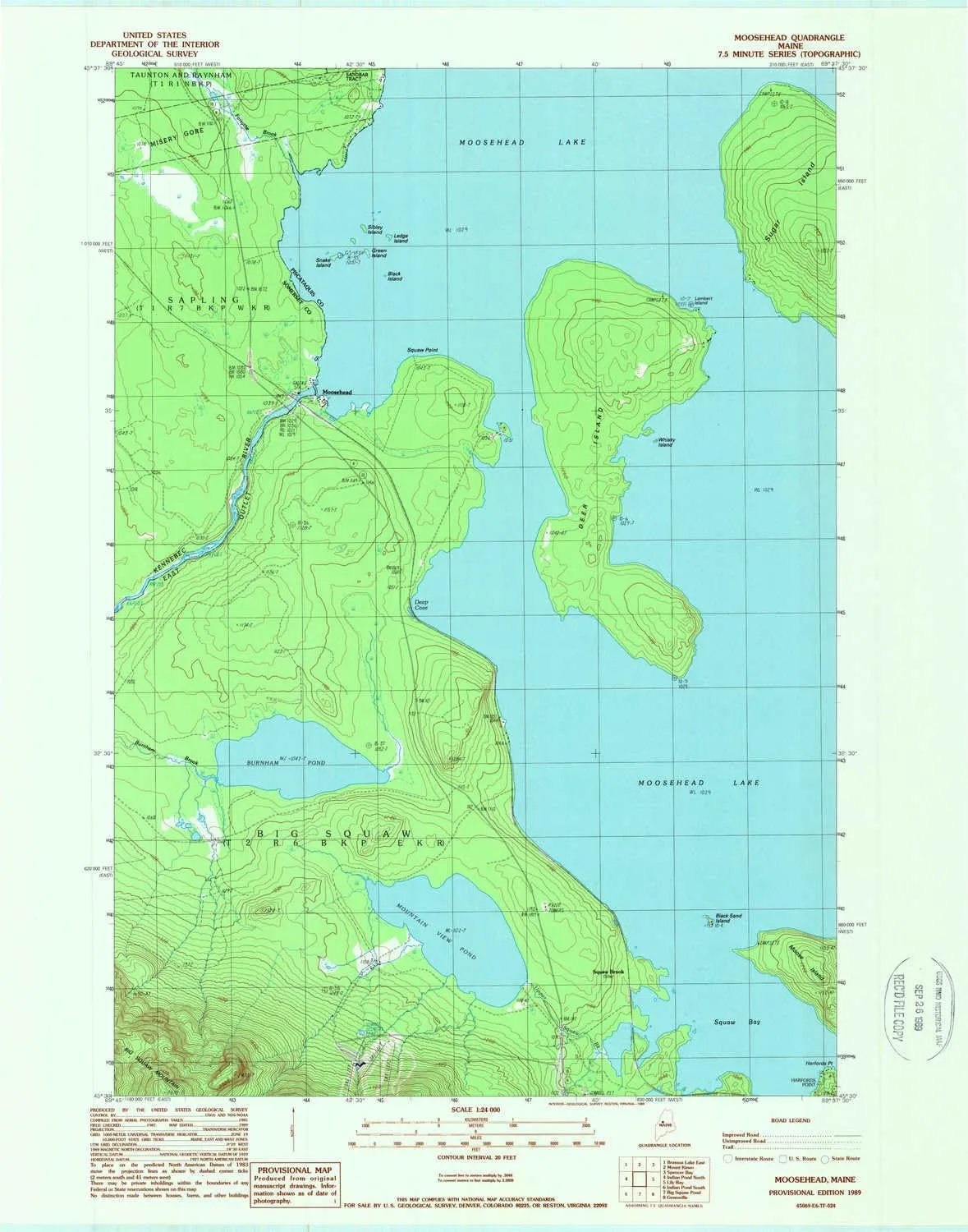
Moosehead ME topo map, 1:24000 Scale, 7.5 X 7.5 Minute, Historical, 1989, Updated 1989, 27.3 x 21.5 in

Moosehead ME topo map, 1:24000 Scale, 7.5 X 7.5 Minute, Historical, 1989, Updated 1989, 27.3 x 21.5 in

$ 45.00

$ 64.00

Save: $

Color:
  • Polypropylene
  • Regular Paper
  • Tyvek
Unavailable
Please select combo product attributes
The combo subtotal is $,SAVE$

Product Details

  • Printed on Polypropylene (plastic)
  • USGS topographic map of Moosehead, ME, at 1:24000 scale. Heavier material. Waterproof. Tear-resistant. Foldable. Perfect for the outdoors.
  • Cities, towns, villages: Moosehead
  • Islands: Green Island,Snake Island,Ledge Island,Whiskey Island,Black Sand Island,Sibley Island,Deer Island,Black Island
  • Parks and forests: National Parks, National Forests, etc. Please preview map image for specifics.


USGS topographic map of Moosehead, Maine, dated 1989, updated 1989.

Includes geographic coordinates (latitude and longitude), lines of elevation, bodies of water, roads, and more. This topo quad is suitable for recreational, outdoor uses, office applications, or wall map framing.

Printed on-demand by YellowMaps on the print material of your choice.

Shipping rolled from Minneapolis, MN, United States.

Product Number: USGS-5534573
Map Size: 27.3 inches high x 21.5 inches wide
Map Scale: 1:24000
Map Type: POD USGS Topographic Map
Map Series: HTMC
Map Version: Historical
Cell ID: 30158
Scan ID: 808100
Imprint Year: 1989
Woodland Tint: Yes
Aerial Photo Year: 1985
Edit Year: 1989
Field Check Year: 1987
Datum: NAD27
Map Projection: Transverse Mercator
Provisional map: Yes
Map published by United States Geological Survey
Map Language: English
Scanner Resolution: 508 dpi
Map Cell Name: Moosehead
Grid size: 7.5 X 7.5 Minute
Date on map: 1989
Geographical region: Maine, United States
Northern map edge Latitude: 45.625°
Southern map edge Latitude: 45.5°
Western map edge Longitude: -69.75°
Eastern map edge Longitude: -69.625°

Surrounding map sheets (copy & paste the Product No. in the search bar):
North: USGS-5534613,USGS-5684707,USGS-5534615
East: USGS-5534243,USGS-5534245
South: USGS-5536575,USGS-5536577,USGS-5684361,USGS-5684357,USGS-5684359
West: USGS-5683897,USGS-5683901,USGS-5536189,USGS-5683903,USGS-5683899

You May Also Like

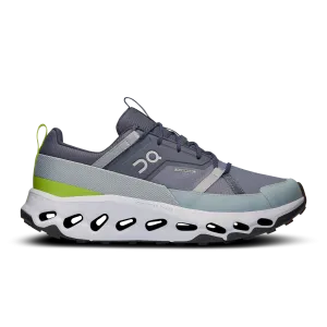
Cloudhorizon Waterproof

$ 143.00

Save: $

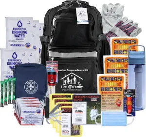
First My Family 4-Person Emergency Survival Kit with LifeStraw Water Filter - Disaster Preparedness Backpack with Hurricane and Earthquake Supplies, 72 Hour Survival Gear

$ 99.00

$ 240.00

Save: $

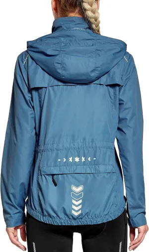
FitsT4 Sports Women's Cycling Running Jackets Lightweight Windproof Bike Windbreaker Reflective with Hooded

$ 25.00

$ 36.00

Save: $

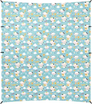
Cow Blue White Black Foldable Beach Cabana UPF50  Protection Waterproof Large Sun Shade Includes Sand Shovel, Sandbags, Stability Poles for Family Trips, Picnics & Camping
Cow Blue White Black Foldable Beach Cabana UPF50 Protection Waterproof Large Sun Shade Includes Sand Shovel, Sandbags, Stability Poles for Family Trips, Picnics & Camping

$ 59.00

$ 108.00

Save: $

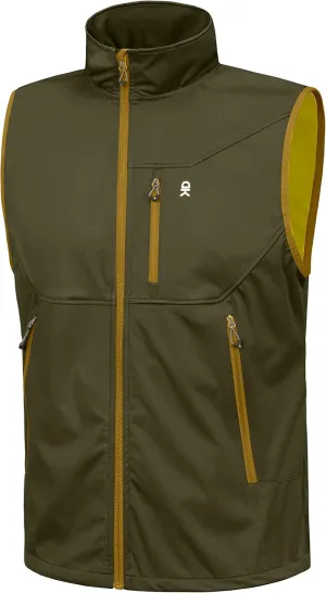
Little Donkey Andy Men's Lightweight Softshell Vest Windproof Sleeveless Jacket for Travel Hiking Running Golf

$ 30.00

$ 43.00

Save: $

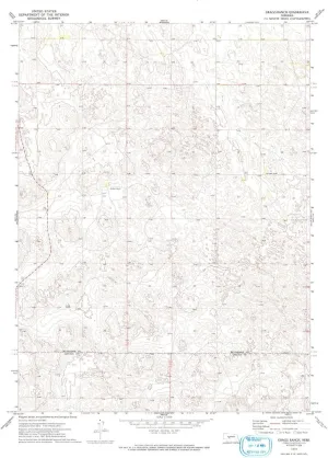
Gragg Ranch NE topo map, 1:24000 Scale, 7.5 X 7.5 Minute, Historical, 1972, Updated 1993, 26.9 x 22 in

$ 45.00

$ 64.00

Save: $

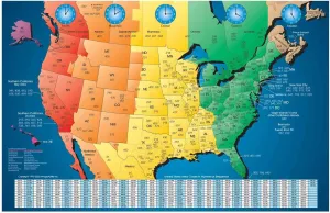
North America Satin Finish Full Color Time Zone Area Code Map with Reverse Lookup, Extra Large 31 by 48 Inch Wall Size

$ 54.00

$ 90.00

Save: $

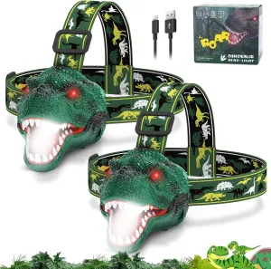
Dinosaur Headlamp for Kids Flashlight 2 Pack, Rechargeable Led Headlights Roar & Silent Mode, T-Rex Dinosaur Toys, Camping Gear, Gifts for Boys Girls Adults

$ 24.00

$ 30.00

Save: $

Kisangel Kerosene Camping Stove with Wicks Durable Mini Burner for Outdoor Cooking and Heating Efficient Design for Picnics Fishing and Camping Dark Green Portable Cookware

$ 20.00

$ 25.00

Save: $

Portable Windproof Alcohol Stove Lightweight Stainless Steel Mini Camping Burner for Outdoor Cooking and Hiking for Twigs Leaves and Alcohol

$ 14.00

$ 17.00

Save: $

Cart
Cooking Essentials&Outdoor Tools|Foldable Shovels,Windproof Stoves&Headlamps
Your cart is currently empty.