Cooking Essentials&Outdoor Tools|Foldable Shovels,Windproof Stoves&Headlamps
Cooking Essentials&Outdoor Tools|Foldable Shovels,Windproof Stoves&Headlamps Cooking Essentials&Outdoor Tools|Foldable Shovels,Windproof Stoves&Headlamps
Home Navigation Gear Waterproof Hiking Map
Midwest: National Geographic Maps

Midwest: National Geographic Maps

$ 14.95

$ 0.00

Save: $

Variant:
  • Buffalo Natl River East 233
  • Buffalo Natl River West 232
  • Badlands National Park 239
  • Black Hills
  • Northeast 751
  • Black Hills South 238
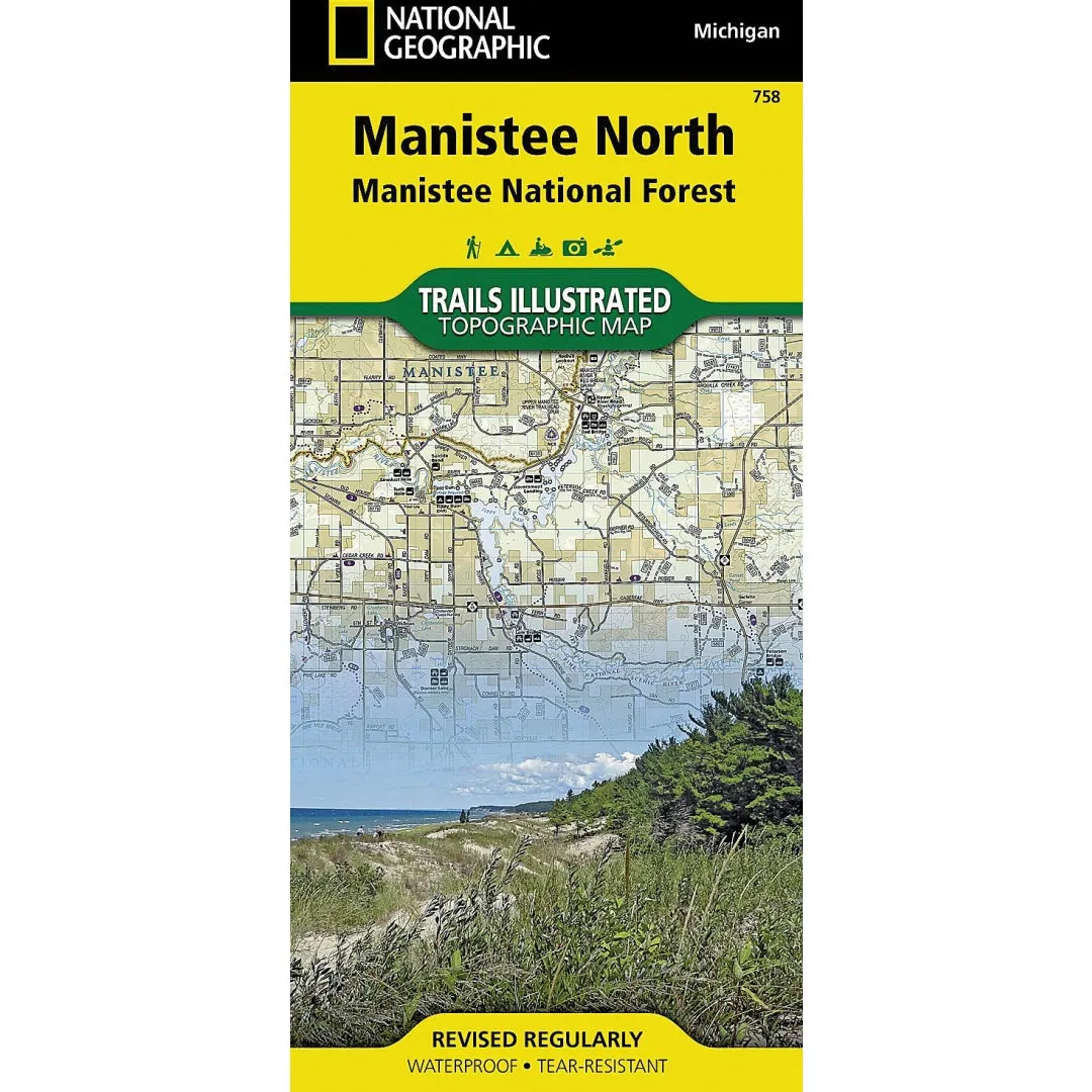
  • Manistee Natl Frst North 758
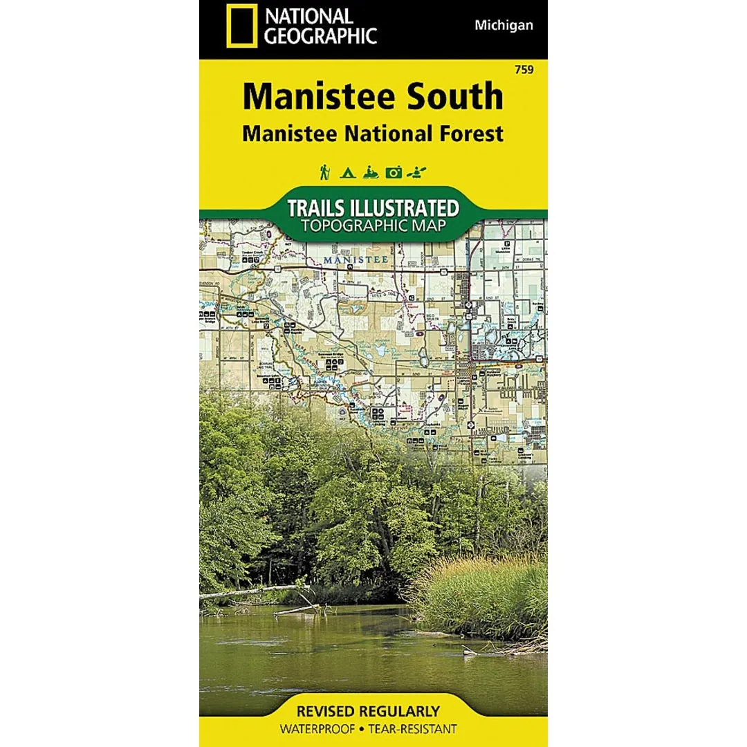
  • Manistee Natl Frst South 759
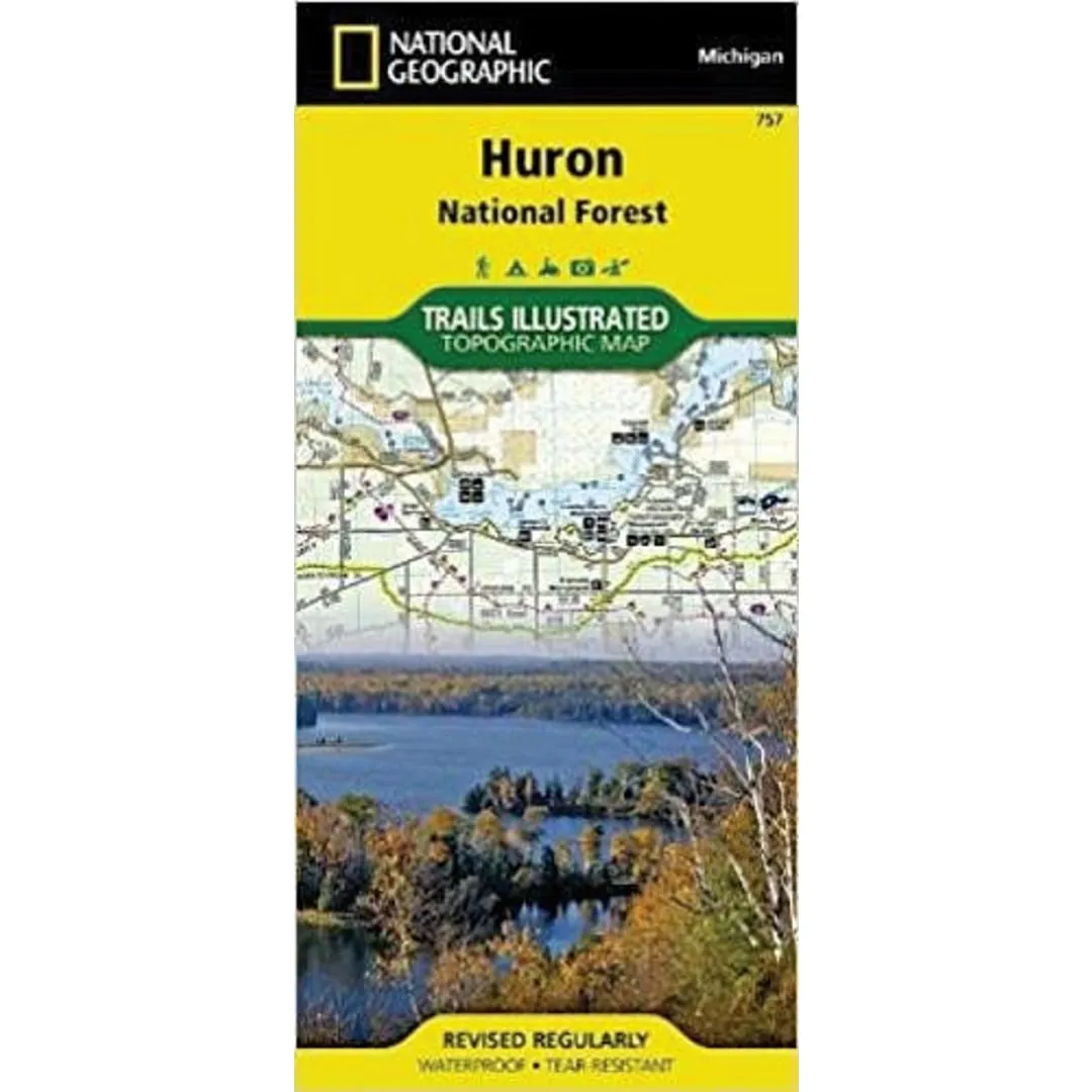
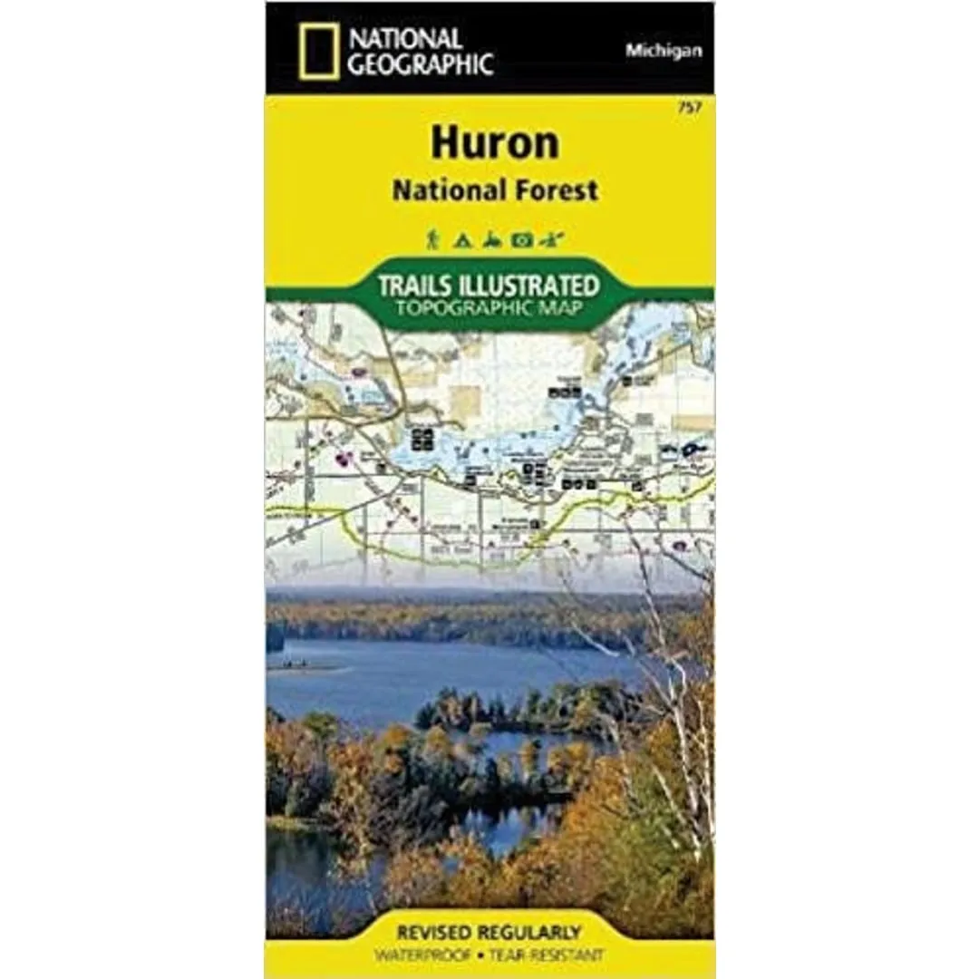
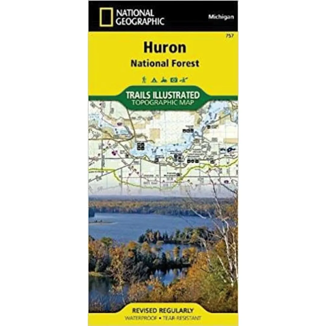
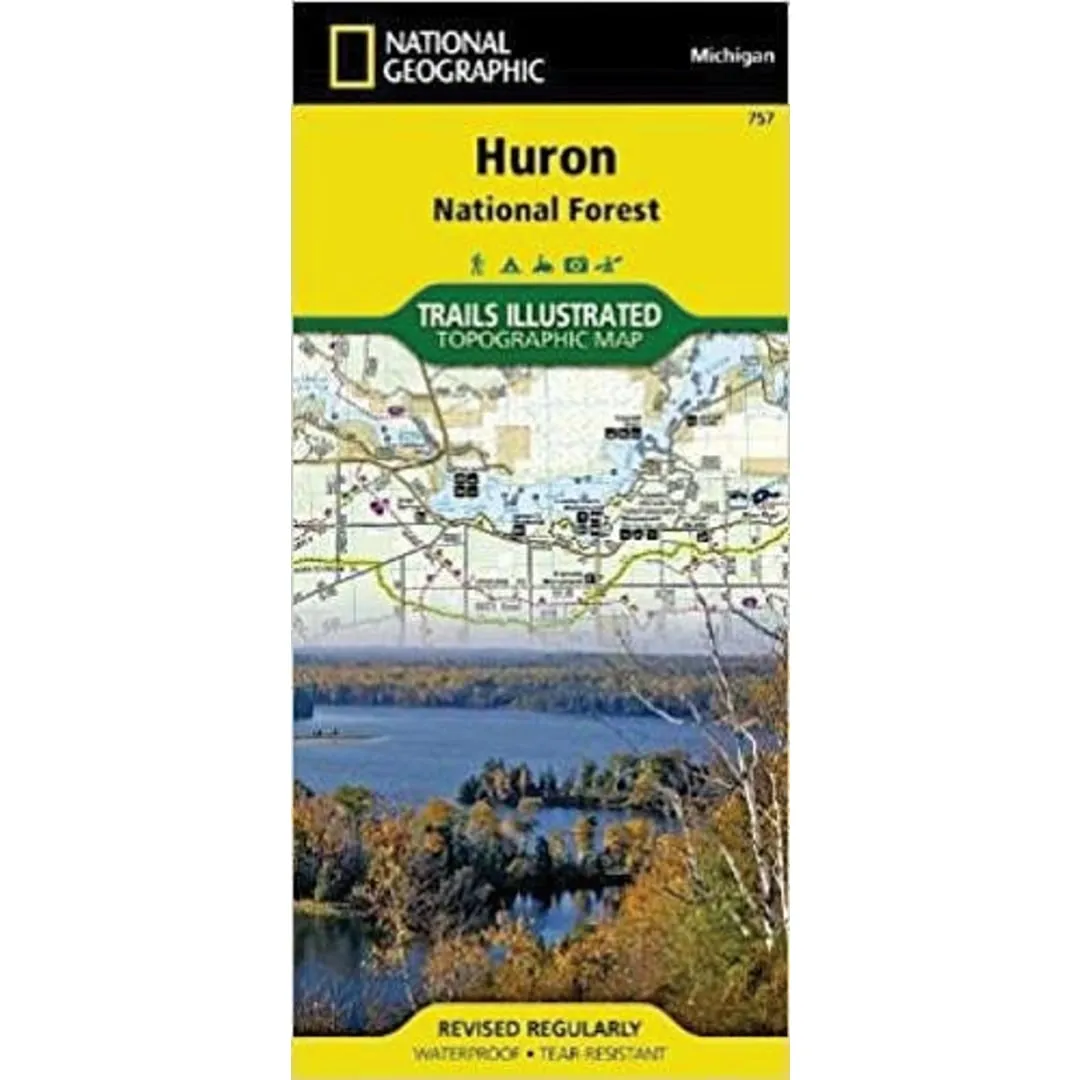
  • Huron Natl Forest 757
Unavailable
Please select combo product attributes
The combo subtotal is $,SAVE$

Product Details

Flowing freely for 153 miles in northern Arkansas, the wild and fully protected Buffalo River was the first National River to be designated in the United States. Expertly researched and created in partnership with the National Park Service and others, National Geographic's Trail Illustrated map of Buffalo National River East provides unparalleled detail of the middle and lower sections of the river as well as the surrounding areas. Shown with mileage markers, the map's coverage of the river begins at mile 66, just before Mount Hersey, and follows the river to its confluence with the White River at mile 153. Pinpointed along the way are river access points, campgrounds, visitor centers, parking areas and other facilities and recreational points of interest.

Precisely mapped trails are labeled according to their designated usage and shown with mileage markers, including the Buffalo River and Ozark Highlands Trails, which are both highlighted. Trail descriptions are also provided for many of the popular hiking trails. To aid in your navigation, the map shows contour lines, elevations, labeled peaks and selected waypoints. Canoeing, hiking and horseback riding guidelines, regulations and safety tips are also provided, as well as a river mileage chart and essential contact information. The map's coverage includes the Lower Buffalo and Leatherwood Wilderness Areas, Gene Rush Wildlife Management Area and parts of Ozark National Forest.

Every Trails Illustrated map is printed on "Backcountry Tough" waterproof, tear-resistant paper. A full UTM grid is printed on the map to aid with GPS navigation.

Other features found on this map include: Buffalo National River, Buffalo River, Leatherwood Wilderness, Ozark National Forest.

You May Also Like

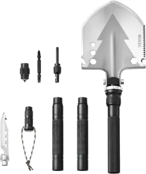
VEVOR Survival Shovel, 11 in 1 Camping Shovel Folding Multitool Kit, Portable and Compact, Stainless Steel, Multifunction for Off-Roading, Camping, Hiking, Outdoor, Survivalist and Emergency

$ 20.00

$ 25.00

Save: $

Silver Portable HeadLamp Clip On Lamp with Filter  Latest Type Plastic Plug-in Battery
Silver Portable HeadLamp Clip On Lamp with Filter Latest Type Plastic Plug-in Battery

$ 25.00

$ 35.00

Save: $

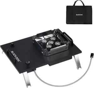
Naturehike Blackdog Camping Stove,IGT portable Gas stove,7200w/24500Btu,Windproof flap,Electronic ignition,Fire power adjustment,Backpacking,Folding,Compatible with ISOBUTANE

$ 99.00

$ 146.00

Save: $

BGOWATU Men's Softshell Jacket Fall Winter Warm Fleece Lined Hooded Jacket Lightweight Windbreaker Casual Coats with Pockets

$ 30.00

$ 43.00

Save: $

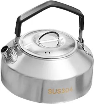
SUPVOX Outdoor Stainless Steel Kettle for Camping Lightweight Multi-function Cookware for Boiling Water Tea and Ergonomic Handle Capacity Portable Design

$ 16.00

$ 20.00

Save: $

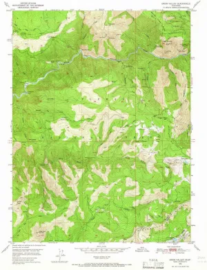
Onion Valley CA topo map, 1:24000 Scale, 7.5 X 7.5 Minute, Historical, 1950, Updated 1966, 26.8 x 21.9 in

$ 45.00

$ 64.00

Save: $

Beach Tent Pop Up Shade Canopy Sun Shelter UPF50  with 2 Stability Poles/Carry Bag/Ground Pegs/Sand Shovel/Windproof Ropes Portable Outdoor Family Sunshade for Beach Camping(Turquoise,10×10FT)
Beach Tent Pop Up Shade Canopy Sun Shelter UPF50 with 2 Stability Poles/Carry Bag/Ground Pegs/Sand Shovel/Windproof Ropes Portable Outdoor Family Sunshade for Beach Camping(Turquoise,10×10FT)

$ 42.00

$ 60.00

Save: $

Rechargeable Super Bright LED Headlamp, 4 Modes, IPX7 Waterproof, 90 Adjustable, Zoomable for Outdoor Camping, Cycling and Running, Adventure

$ 23.00

$ 33.00

Save: $

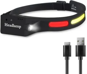
Headlamp Flashlight, Rechargeable LED Headlamps 500Lumens 2 COB 230°Wide Beam Headlight with Motion Sensor Bright 5 Modes Lightweight Waterproof Head Lamp for Outdoor Running, Camping Hiking

$ 18.00

$ 23.00

Save: $

Dutch Valley TN topo map, 1:24000 Scale, 7.5 X 7.5 Minute, Historical, 1936, 27.3 x 22 in

$ 52.00

$ 74.00

Save: $

Cart
Cooking Essentials&Outdoor Tools|Foldable Shovels,Windproof Stoves&Headlamps
Your cart is currently empty.