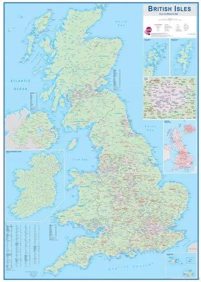
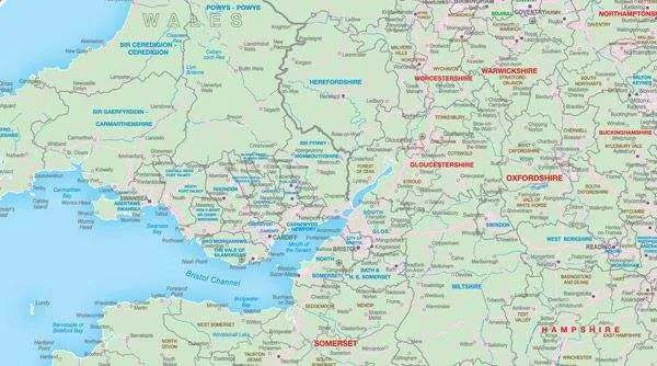
This wall map contains boroughs, and district, county and authority names. Roads are shown in the background of the map. Population data is included in this map and there is also a handy postcode area map included covering the British Isles.
Available plain or laminated.


")


