- 47 x 33.25 inches. Printed on polypropylene. The material is stronger than most papers and unlikely to crease or rip. The matte finish eliminates glare, and adds texture to the map. Ideal for display. Please note this map is NOT laminated - the page is not appropriate for dry-erase markers. Flat map, tubed for shipping.
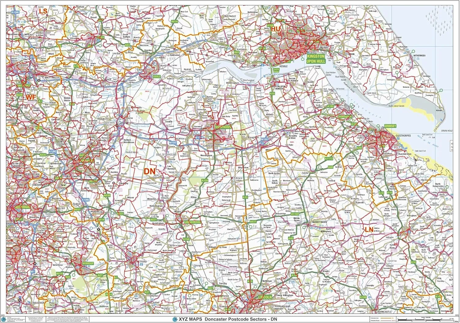
- The Doncaster Postcode Sector Wall Map shows detailed postcode sector boundaries (DN1 1, DN1 2) on a comprehensive background and is perfect for determining postcode boundaries for sales areas, planning mailshots and also an excellent reference for logistics. This wall map covers the whole of the DN Postcode Area.
- Map created by XYZ Maps, one of Scotland's leading map publishers.
- Scale 1:90,000
47 x 33.25 inches. Printed on polypropylene. The material is stronger than most papers and unlikely to crease or rip. The matte finish eliminates glare, and adds texture to the map. Ideal for display. Please note this map is NOT laminated - the page is not appropriate for dry-erase markers. Flat map, tubed for shipping.
The Doncaster Postcode Sector Wall Map shows detailed postcode sector boundaries (DN1 1, DN1 2) on a comprehensive background and is perfect for determining postcode boundaries for sales areas, planning mailshots and also an excellent reference for logistics. This wall map covers the whole of the DN Postcode Area.
Map created by XYZ Maps, one of Scotland's leading map publishers.
Scale 1:90,000


, CNK2350WS015")


