- 47 x 33.25 inches. Laminated. Flat map, tubed for shipping.
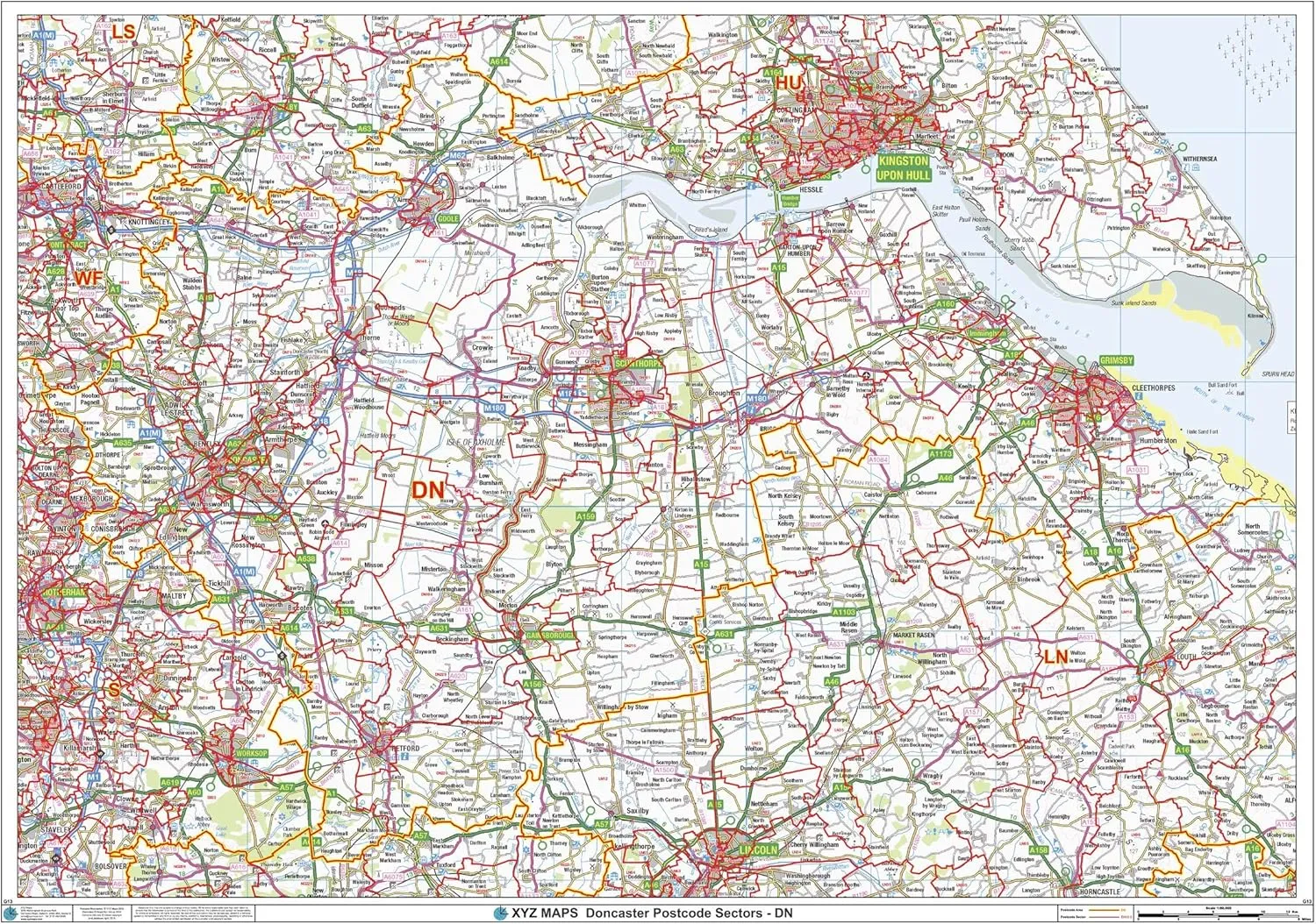
- The Doncaster Postcode Sector Wall Map shows detailed postcode sector boundaries (DN1 1, DN1 2) on a comprehensive background and is perfect for determining postcode boundaries for sales areas, planning mailshots and also an excellent reference for logistics. This wall map covers the whole of the DN Postcode Area.
- Map created by XYZ Maps, one of Scotland's leading map publishers.
- Scale 1:90,000
47 x 33.25 inches. Laminated. Flat map, tubed for shipping.
The Doncaster Postcode Sector Wall Map shows detailed postcode sector boundaries (DN1 1, DN1 2) on a comprehensive background and is perfect for determining postcode boundaries for sales areas, planning mailshots and also an excellent reference for logistics. This wall map covers the whole of the DN Postcode Area.
Map created by XYZ Maps, one of Scotland's leading map publishers.
Scale 1:90,000


