Cooking Essentials&Outdoor Tools|Foldable Shovels,Windproof Stoves&Headlamps
Cooking Essentials&Outdoor Tools|Foldable Shovels,Windproof Stoves&Headlamps Cooking Essentials&Outdoor Tools|Foldable Shovels,Windproof Stoves&Headlamps
Home Navigation Gear Waterproof Hiking Map
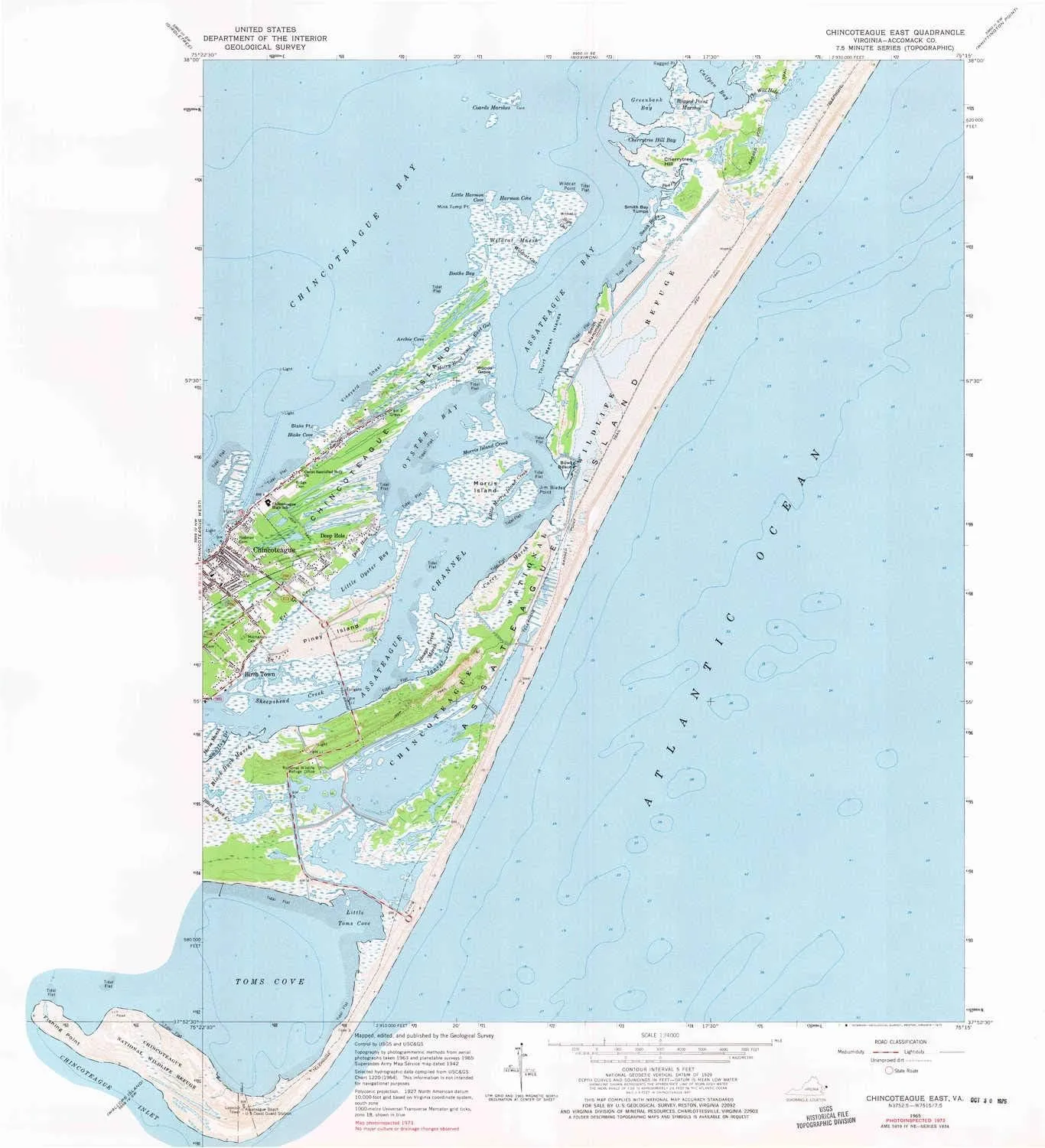
Chincoteague East VA topo map, 1:24000 Scale, 7.5 X 7.5 Minute, Historical, 1965, Updated 1975, 27.2 x 24.7 in

Chincoteague East VA topo map, 1:24000 Scale, 7.5 X 7.5 Minute, Historical, 1965, Updated 1975, 27.2 x 24.7 in

$ 45.00

$ 64.00

Save: $

Color:
  • Polypropylene
  • Regular Paper
  • Tyvek
Unavailable
Please select combo product attributes
The combo subtotal is $,SAVE$

Product Details

  • Printed on Polypropylene (plastic)
  • USGS topographic map of Chincoteague East, VA, at 1:24000 scale. Heavier material. Waterproof. Tear-resistant. Foldable. Perfect for the outdoors.
  • Cities, towns, villages: Birch Town,Deep Hole
  • Islands: Morris Island,Smith Hammocks,Chincoteague Island,Thurf Marsh Islands,Piney Island
  • Parks and forests: National Parks, National Forests, etc. Please preview map image for specifics.


USGS topographic map of Chincoteague East, Virginia, dated 1965, updated 1975.

Includes geographic coordinates (latitude and longitude), lines of elevation, bodies of water, roads, and more. This topo quad is suitable for recreational, outdoor uses, office applications, or wall map framing.

Printed on-demand by YellowMaps on the print material of your choice.

Shipping rolled from Minneapolis, MN, United States.

Product Number: USGS-5686873
Map Size: 27.2 inches high x 24.7 inches wide
Map Scale: 1:24000
Map Type: POD USGS Topographic Map
Map Series: HTMC
Map Version: Historical
Cell ID: 8591
Scan ID: 184496
Imprint Year: 1975
Woodland Tint: Yes
Photo Inspection Year: 1973
Aerial Photo Year: 1963
Field Check Year: 1965
Datum: NAD27
Map Projection: Polyconic
Map published by United States Geological Survey
Keywords: Overedge with No Adjacent Map
Map Language: English
Scanner Resolution: 600 dpi
Map Cell Name: Chincoteague East
Grid size: 7.5 X 7.5 Minute
Date on map: 1965
Geographical region: Virginia, United States
Northern map edge Latitude: 38°
Southern map edge Latitude: 37.875°
Western map edge Longitude: -75.375°
Eastern map edge Longitude: -75.25°

Surrounding map sheets (copy & paste the Product No. in the search bar):
North: USGS-5365836,USGS-5365832,USGS-5365838,USGS-5367622,USGS-5365834
East:
South:
West: USGS-5297222,USGS-5297226,USGS-5302228,USGS-5297228,USGS-5297230

You May Also Like

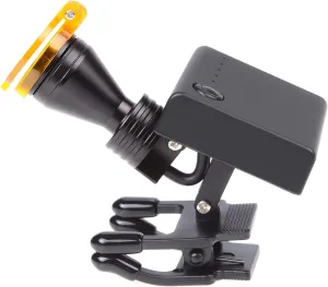
5W LED Headlight for Loupes Glasses,Portable Headlamp LED Adjustable Brightness Head Light Lamp

$ 53.00

$ 76.00

Save: $

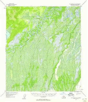
Mount McKinley D 3 AK topo map, 1:63360 Scale, 15 X 15 Minute, Historical, 1952, Updated 1958, 20.9 x 18 in

$ 49.00

$ 82.00

Save: $

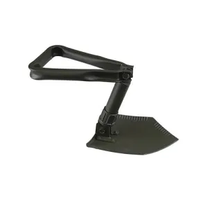
Ace Camp Military Shovel

$ 39.90

Save: $

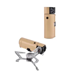
Portable Camping Stove

$ 273.37

Save: $

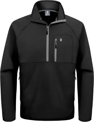
Little Donkey Andy Men's Half Zipper Pullover, Windproof Softshell MTB Mountain Bike Jacket for Cycling Golf Workout

$ 34.00

$ 48.00

Save: $

Headlamp,2-Pack Rechargeable,Superlight Flashlight,1200 Lumen Ultra-Light Bright LED Headlight with White and Red Light,Waterproof Motion Sensor,8 Modes for Hiking,Fishing,Camping,Running

$ 17.00

$ 22.00

Save: $

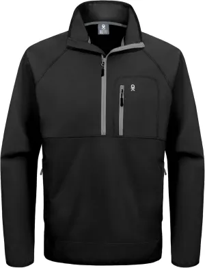
Little Donkey Andy Men's Half Zipper Pullover, Windproof Softshell MTB Mountain Bike Jacket for Cycling Golf Workout

$ 34.00

$ 48.00

Save: $

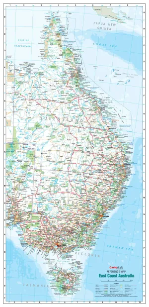
East Coast Australia 640 x 1400mm Laminated Wall Map

$ 199.95

Save: $

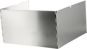
Outdoor Folding Windscreen for Gas Stove Windscreen for Outdoor Stove Protection Made of Sturdy Steel

$ 22.00

$ 31.00

Save: $

TBMPOY Men's Snow Ski Hiking Pants Waterproof Winter Fleece Lined Pants Camping Skiing Ice Fishing Pants with Belt

$ 28.00

$ 40.00

Save: $

Cart
Cooking Essentials&Outdoor Tools|Foldable Shovels,Windproof Stoves&Headlamps
Your cart is currently empty.