Cooking Essentials&Outdoor Tools|Foldable Shovels,Windproof Stoves&Headlamps
Cooking Essentials&Outdoor Tools|Foldable Shovels,Windproof Stoves&Headlamps Cooking Essentials&Outdoor Tools|Foldable Shovels,Windproof Stoves&Headlamps
Home Navigation Gear Waterproof Hiking Map
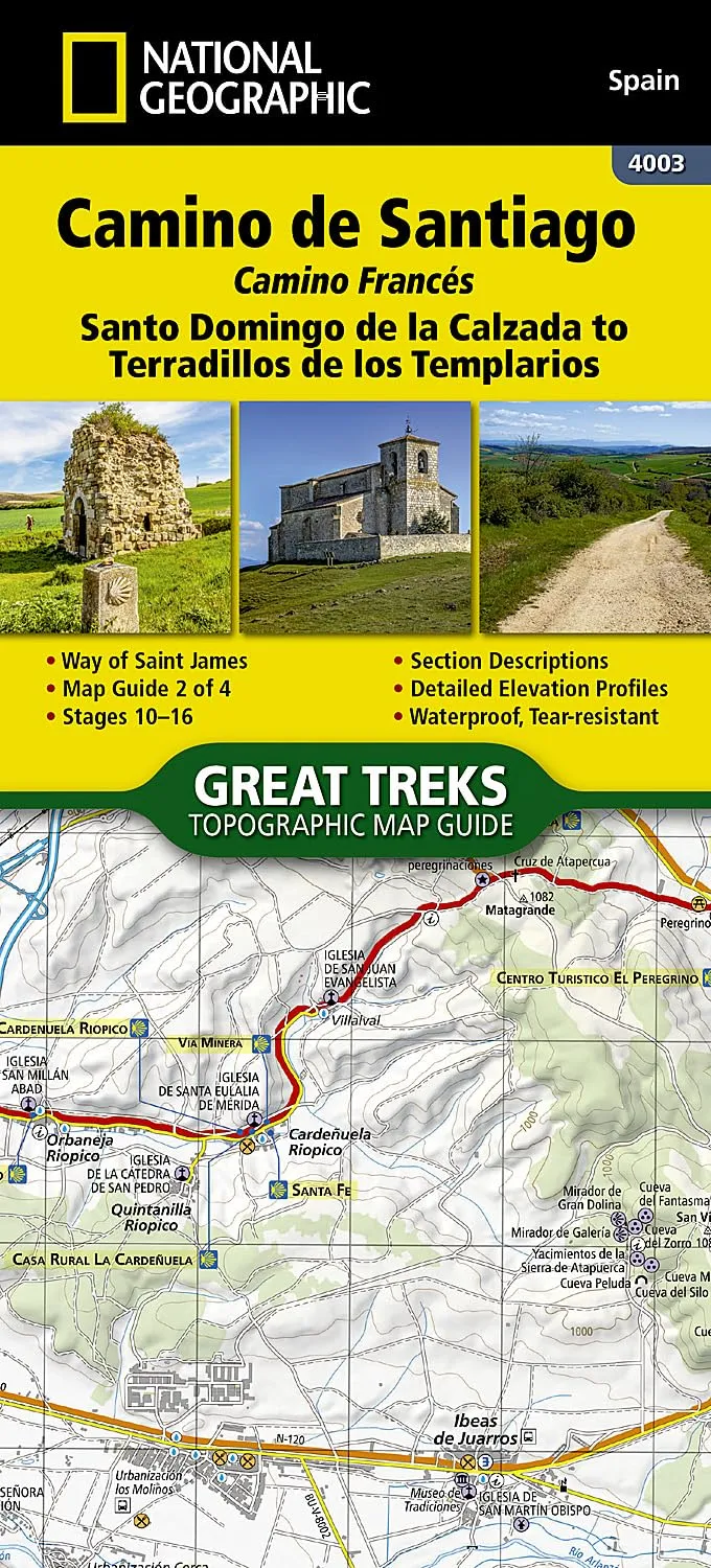
Camino de Santiago NGS Santo Domingo de la Calzada to Terradillos de Los Templario No 2

Camino de Santiago NGS Santo Domingo de la Calzada to Terradillos de Los Templario No 2

$ 29.95

$ 0.00

Save: $

Unavailable
Please select combo product attributes
The combo subtotal is $,SAVE$

Product Details

NEW PRODUCT PLEASE ALLOW 10 DAYS FOR DELIVERY

  • Waterproof - Tear-Resistant - Topographic Map

The Way of Saint James, known in Spanish as Camino de Santiago -- or simply El Camino (The Way) -- has been one of Europe's most iconic walking routes since 9th century pilgrims began making their way to the Cathedral of Santiago de Compostela to venerate the remains of Saint James. Though rooted in Christian tradition, the route has been reborn as a nondenominational spiritual rite and epic long distance trail that runs along Roman roads, across mountains, and through picturesque countryside and historic towns.

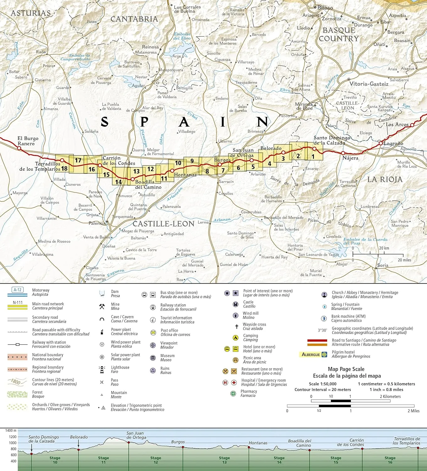
The Santo Domingo de la Calzada to Terradillos de los Templarios Topographic Map Guide booklet makes a perfect traveling companion when traversing the central-east section of the Camino Francés (French Route). This section of the trail passes trough the historic city of Burgos and includes sections 10-16. A detailed description of each trail section is included that tells travelers about the many landmarks encountered along the way.

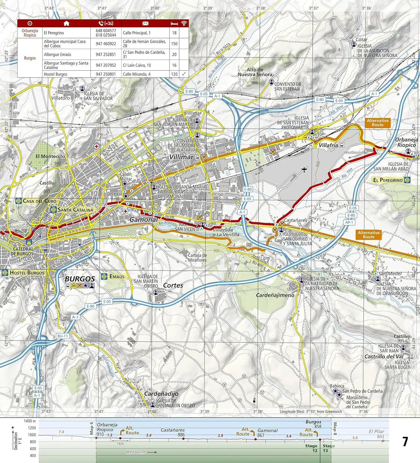
Each Camino de Santiago Topographic Map Guide includes detailed topographic maps of 2 cm = 1 km. Each page is centered on the trail and overlaps with the adjacent pages so there is little chance of getting lost. Along the bottom of each page is a trail profile that shows the distance between towns, rest houses, and trail access points. The map and trail profile provide a step by step visual guide to hiking the trail.

Every Great Treks map is printed on "Backcountry Tough" waterproof, tear-resistant paper. A full Lat/Long grid is printed on the map to aid with GPS navigation. Every map purchase helps support the National Geographic Society, an impact driven, nonprofit organization with global reach that uses the power of science, exploration, education, and storytelling to illuminate and protect the wonder of our world.

  • Map Scale = 1:50,000
  • Folded Size = 4.25" x 9.38"

You May Also Like

LuxPremium/Light CREE LED Headlamp with Bright Front Light (Ideal for Jogging, IP44, Batteries Included, 60 m Beam Range, 100 lm, Adjustable Tilt Angle)

$ 24.00

$ 34.00

Save: $

YARNOW Outdoor Gas Stove Portable Camping Stove Windproof Design Stainless Steel Burner Head

$ 15.00

$ 19.00

Save: $

Halo Flashpoint - Recon Edition Starter

$ 93.95

$ 119.99

Save: $

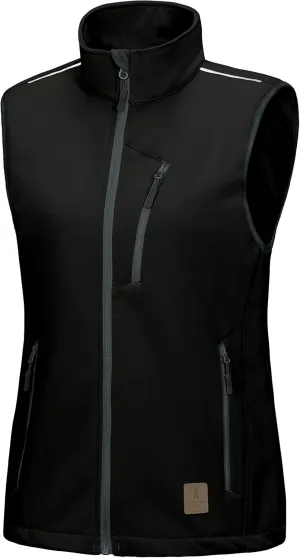
Little Donkey Andy Women's Fleece Lined Softshell Vest Lightweight Windproof Sleeveless Jacket for Hiking Outdoor Travel Golf

$ 34.00

$ 48.00

Save: $

Princeton Tec Apex LED Headlamp - Black/Grey [APX21-BK/DK]

$ 94.66

Save: $

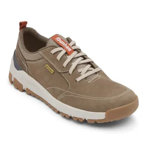
Dunham Men's Glastonbury Ubal Waterproof

$ 140.00

Save: $

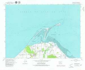
Dungeness WA topo map, 1:24000 Scale, 7.5 X 7.5 Minute, Historical, 1979, Updated 1979, 8.8 x 10.7 in

$ 45.00

$ 64.00

Save: $

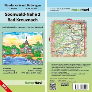
Soonwald-Nahe 2 Bad Kreuznach: Hiking Map with Cycle Paths, Sheet 41-552, 1: 25,000, Bad Sobernheim, Stromberg, Lower Naheland (NaturNavi Hiking Map with Cycle Paths 1:25 000)

$ 13.00

$ 16.00

Save: $

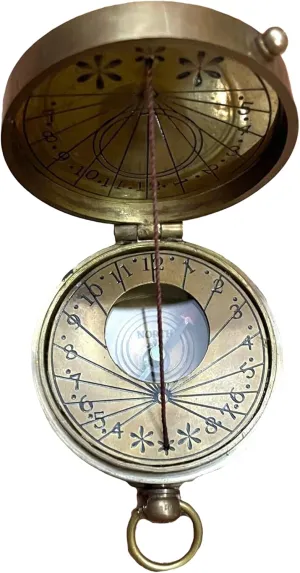
Compass Brass Push Button Nautical The Mary Rose Pocket Maritime Working Compass London Adventure Hiking Survival Tool Antique Collectible Compass Gift by THEMEDIEVALMARTCITY

$ 24.00

$ 30.00

Save: $

Frogeye Cob Led Headlight USB Rechargeable Portable Adjustable Base for Camping Hiking Night Fishing and DIY Random Color

$ 19.00

$ 24.00

Save: $

Cart
Cooking Essentials&Outdoor Tools|Foldable Shovels,Windproof Stoves&Headlamps
Your cart is currently empty.