Cooking Essentials&Outdoor Tools|Foldable Shovels,Windproof Stoves&Headlamps
Cooking Essentials&Outdoor Tools|Foldable Shovels,Windproof Stoves&Headlamps Cooking Essentials&Outdoor Tools|Foldable Shovels,Windproof Stoves&Headlamps
Home Navigation Gear Waterproof Hiking Map
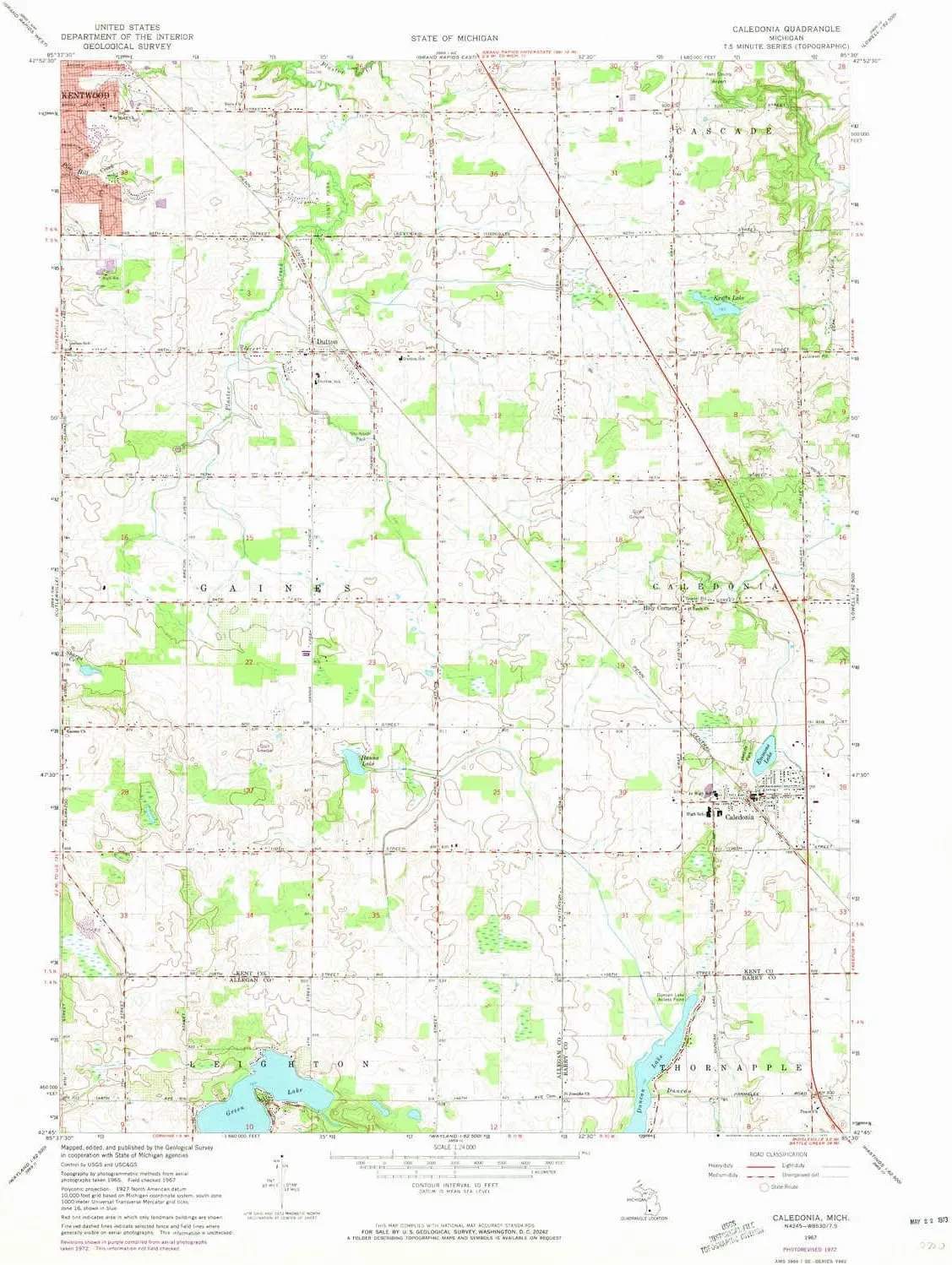
Caledonia MI topo map, 1:24000 Scale, 7.5 X 7.5 Minute, Historical, 1967, Updated 1973, 26.9 x 22 in

Caledonia MI topo map, 1:24000 Scale, 7.5 X 7.5 Minute, Historical, 1967, Updated 1973, 26.9 x 22 in

$ 45.00

$ 64.00

Save: $

Color:
  • Polypropylene
  • Regular Paper
  • Tyvek
Unavailable
Please select combo product attributes
The combo subtotal is $,SAVE$

Product Details

  • Printed on Polypropylene (plastic)
  • USGS topographic map of Caledonia, MI, at 1:24000 scale. Heavier material. Waterproof. Tear-resistant. Foldable. Perfect for the outdoors.
  • Cities, towns, villages: Caledonia,Dutton,Holy Corners
  • Islands: Consult topo map preview for visible islands.
  • Parks and forests: Shadyside Park,David Kinsey Home Historical Marker,Pinewood Park,Paris County Park,Princeton Park,Bailey's Grove Park,Muuse Park,Lakeside Park


USGS topographic map of Caledonia, Michigan, dated 1967, updated 1973.

Includes geographic coordinates (latitude and longitude), lines of elevation, bodies of water, roads, and more. This topo quad is suitable for recreational, outdoor uses, office applications, or wall map framing.

Printed on-demand by YellowMaps on the print material of your choice.

Shipping rolled from Minneapolis, MN, United States.

Product Number: USGS-5438352
Map Size: 26.9 inches high x 22 inches wide
Map Scale: 1:24000
Map Type: POD USGS Topographic Map
Map Series: HTMC
Map Version: Historical
Cell ID: 6711
Scan ID: 275783
Imprint Year: 1973
Woodland Tint: Yes
Photo Revision Year: 1972
Aerial Photo Year: 1972
Field Check Year: 1967
Datum: NAD27
Map Projection: Polyconic
Map published by United States Geological Survey
Map Language: English
Scanner Resolution: 600 dpi
Map Cell Name: Caledonia
Grid size: 7.5 X 7.5 Minute
Date on map: 1967
Geographical region: Michigan, United States
Northern map edge Latitude: 42.875°
Southern map edge Latitude: 42.75°
Western map edge Longitude: -85.625°
Eastern map edge Longitude: -85.5°

Surrounding map sheets (copy & paste the Product No. in the search bar):
North: USGS-5439182,USGS-5439180,USGS-5439184,USGS-5439186
East: USGS-5442926,USGS-5658566,USGS-5442922,USGS-5442924,USGS-5442928
South: USGS-5438238
West: USGS-5438638,USGS-5438636,USGS-5438640

You May Also Like

Folding Camping Bed 4 Positions Adjustable Camping Cot W/Mattress and Pillow Lounge Chair Load 200kg Portable Folding Bed

$ 98.00

$ 246.00

Save: $

Caribee Compact Folding 37L Duffle Bag

$ 43.95

Save: $

ZHENWEI Womens Lightweight Hooded Waterproof Active Outdoor Rain Jacket S-XXL

$ 31.00

$ 45.00

Save: $

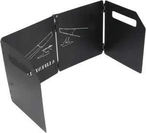
Thicken Carbon Steel Camping Stove Windshield 4 Plates with Handle(9.8in*18.5in*8.7in-Black)

$ 42.00

$ 59.00

Save: $

YANCHUAN PORTABLE STOVE

$ 3500.00

Save: $

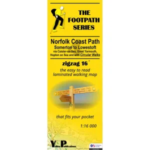
Norfolk Coast Path Zigzag map - Somerton to Lowestoft

$ 9.95

Save: $

Multi Functional Survival Compass Camping Hiking Compass Map Measurer Distance Calculator Metal Professional Military Compass

$ 101.00

$ 253.00

Save: $

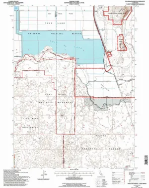
The Panhandle CA topo map, 1:24000 Scale, 7.5 X 7.5 Minute, Historical, 1993, Updated 1997, 26.6 x 21.4 in

$ 52.00

$ 74.00

Save: $

Mag Striker with Tinder Cord

$ 17.95

Save: $

Little Donkey Andy Women's Waterproof Hiking Skiing Jacket with Removable Hood, Fleece Lined Winter Warm Rain Coat

$ 28.00

$ 40.00

Save: $

Cart
Cooking Essentials&Outdoor Tools|Foldable Shovels,Windproof Stoves&Headlamps
Your cart is currently empty.