Cooking Essentials&Outdoor Tools|Foldable Shovels,Windproof Stoves&Headlamps
Cooking Essentials&Outdoor Tools|Foldable Shovels,Windproof Stoves&Headlamps Cooking Essentials&Outdoor Tools|Foldable Shovels,Windproof Stoves&Headlamps
Home Navigation Gear Waterproof Hiking Map
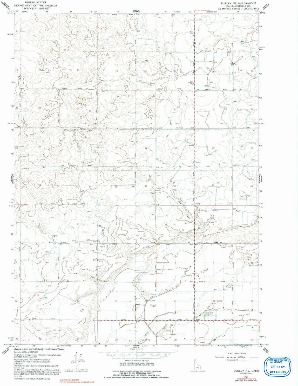
Burley NE ID topo map, 1:24000 Scale, 7.5 X 7.5 Minute, Historical, 1964, Updated 1991, 26.8 x 22 in

Burley NE ID topo map, 1:24000 Scale, 7.5 X 7.5 Minute, Historical, 1964, Updated 1991, 26.8 x 22 in

$ 31.00

$ 44.00

Save: $

Color:
  • Polypropylene
  • Regular Paper
  • Tyvek
Unavailable
Please select combo product attributes
The combo subtotal is $,SAVE$

Product Details

  • Printed on Polypropylene (plastic)
  • USGS topographic map of Burley NE, ID, at 1:24000 scale. Heavier material. Waterproof. Tear-resistant. Foldable. Perfect for the outdoors.
  • Cities, towns, villages: Please see map preview to find populated places, townships, as well as roads and street names if available.
  • Islands: Consult topo map preview for visible islands.
  • Parks and forests: National Parks, National Forests, etc. Please preview map image for specifics.


USGS topographic map of Burley NE, Idaho, dated 1964, updated 1991.

Includes geographic coordinates (latitude and longitude), lines of elevation, bodies of water, roads, and more. This topo quad is suitable for recreational, outdoor uses, office applications, or wall map framing.

Printed on-demand by YellowMaps on the print material of your choice.

Shipping rolled from Minneapolis, MN, United States.

Product Number: USGS-5430954
Map Size: 26.8 inches high x 22 inches wide
Map Scale: 1:24000
Map Type: POD USGS Topographic Map
Map Series: HTMC
Map Version: Historical
Cell ID: 6259
Scan ID: 235510
Imprint Year: 1991
Photo Inspection Year: 1976
Aerial Photo Year: 1962
Field Check Year: 1964
Datum: NAD27
Map Projection: Polyconic
Map published by United States Geological Survey
Map Language: English
Scanner Resolution: 600 dpi
Map Cell Name: Burley NE
Grid size: 7.5 X 7.5 Minute
Date on map: 1964
Geographical region: Idaho, United States
Northern map edge Latitude: 42.75°
Southern map edge Latitude: 42.625°
Western map edge Longitude: -113.875°
Eastern map edge Longitude: -113.75°

Surrounding map sheets (copy & paste the Product No. in the search bar):
North: USGS-5433028
East: USGS-5435069,USGS-5435071
South: USGS-5430962,USGS-5430960
West: USGS-5430958

You May Also Like

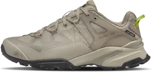
THE NORTH FACE Men's Ultra 112 Waterproof Hiking Shoes

$ 99.00

$ 149.00

Save: $

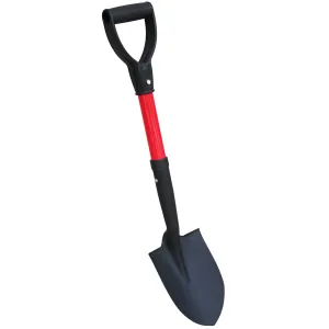
TABOR TOOLS J211  Mini Trunk Digging Spade
TABOR TOOLS J211 Mini Trunk Digging Spade

$ 30.49

Save: $

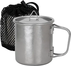
TiTo Titanium Cup Titanium Pot with Lid Ultralight Portable 300ml Foldable Handle Camping Tea Coffee Water Mug for Outdoor Backpacking Hiking Picnic Drinkware with Mesh Sack (Titanium)

$ 13.00

$ 16.00

Save: $

Yzrwebo Vintage World Map Backpack for Boys Girls, Earth Geography School Bookbag Casual Daypack Computer Laptop Backpack, Adults Sports Hiking Travel Camping Backpack

$ 26.00

$ 37.00

Save: $

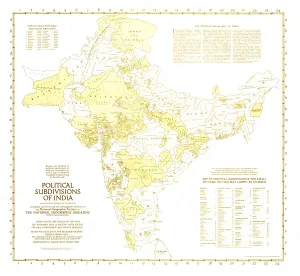
Political Subdivisions of India Wall Map - Published 1946 by National Geographic

$ 49.95

Save: $

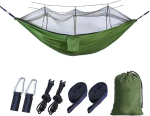
Mosquito Net Camping Hammock,Lightweight Double Hammock,Parachute Nylon Hammocks,Portable Hammocks Outdoor Hiking Travel Green 260x140cm

$ 59.00

$ 99.00

Save: $

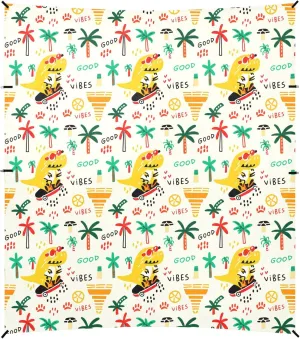
Burbuja Cartoon Dinosaurs Beach Canopy Windproof Beach Tent Sun Shade with 4 Sandbags & Sand Shovel, Portable Sun Shelter for Family Camping Picnic

$ 56.00

$ 102.00

Save: $

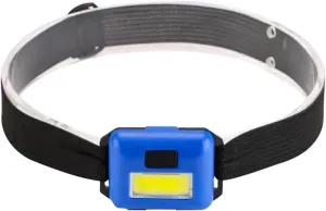
Head Torch Mini Headlights Powerful Head Lamp Flashlight Outdoor Camping Night Fishing Headlight

$ 63.00

$ 114.00

Save: $

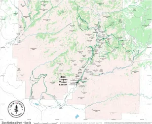
Zion National Park Map - South – Waterproof, Durable Cloth Map for Hiking and Camping by True North Map Company

$ 24.00

$ 30.00

Save: $

Roaring Gap NC topo map, 1:24000 Scale, 7.5 X 7.5 Minute, Historical, 1997, Updated 2000, 26.8 x 21.9 in

$ 45.00

$ 64.00

Save: $

Cart
Cooking Essentials&Outdoor Tools|Foldable Shovels,Windproof Stoves&Headlamps
Your cart is currently empty.